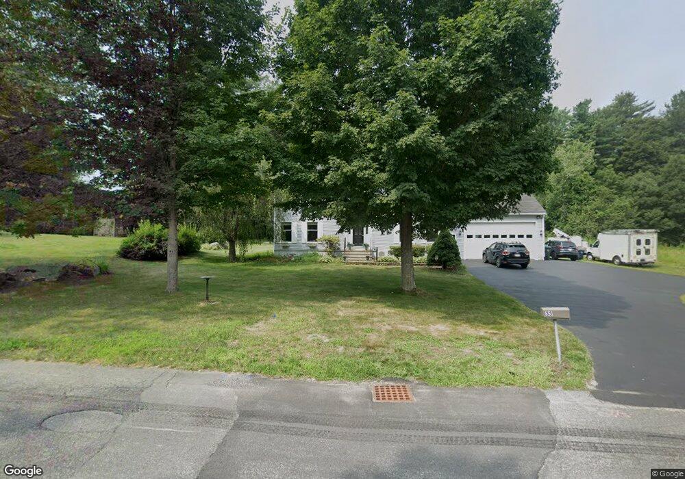
33 Chapel St Holden, MA 01520
Estimated Value: $605,041 - $680,000
4
Beds
3
Baths
2,568
Sq Ft
$254/Sq Ft
Est. Value
About This Home
This home is located at 33 Chapel St, Holden, MA 01520 and is currently estimated at $653,260, approximately $254 per square foot. 33 Chapel St is a home located in Worcester County with nearby schools including Wachusett Regional High School, Abby Kelley Foster Charter Public School, and Bancroft School.
Ownership History
Date
Name
Owned For
Owner Type
Purchase Details
Closed on
Nov 28, 2001
Sold by
Derby Carol M
Bought by
D Rtr Rt
Current Estimated Value
Create a Home Valuation Report for This Property
The Home Valuation Report is an in-depth analysis detailing your home's value as well as a comparison with similar homes in the area
Home Values in the Area
Average Home Value in this Area
Purchase History
| Date | Buyer | Sale Price | Title Company |
|---|---|---|---|
| D Rtr Rt | $41,000 | -- |
Source: Public Records
Mortgage History
| Date | Status | Borrower | Loan Amount |
|---|---|---|---|
| Open | D Rtr Rt | $296,457 | |
| Closed | D Rtr Rt | $200,000 | |
| Previous Owner | D Rtr Rt | $120,000 |
Source: Public Records
Tax History
| Year | Tax Paid | Tax Assessment Tax Assessment Total Assessment is a certain percentage of the fair market value that is determined by local assessors to be the total taxable value of land and additions on the property. | Land | Improvement |
|---|---|---|---|---|
| 2025 | $7,137 | $514,900 | $169,200 | $345,700 |
| 2024 | $6,932 | $489,900 | $164,100 | $325,800 |
| 2023 | $6,569 | $438,200 | $142,800 | $295,400 |
| 2022 | $6,197 | $374,200 | $111,600 | $262,600 |
| 2021 | $6,010 | $345,400 | $106,200 | $239,200 |
| 2020 | $5,824 | $342,600 | $101,100 | $241,500 |
| 2019 | $5,694 | $326,300 | $101,100 | $225,200 |
| 2018 | $5,489 | $311,700 | $96,400 | $215,300 |
| 2017 | $5,273 | $299,800 | $96,400 | $203,400 |
| 2016 | $5,090 | $295,100 | $91,700 | $203,400 |
| 2015 | $5,164 | $285,000 | $91,700 | $193,300 |
| 2014 | $5,059 | $285,000 | $91,700 | $193,300 |
Source: Public Records
Map
Nearby Homes
- 250 Shrewsbury St
- 23 Gail Dr
- 8 (Lot 1) Holmes Dr
- 270 Brattle St
- 120 Brattle St
- 47 Harvest Cir
- 38 Juniper Ln
- 42 N Worcester Ave
- 527 Salisbury St
- 168 Twinbrooke Dr
- 131 Twinbrooke Dr
- 30 Osgood Ave
- 39 Mountainshire Dr
- 289 Bailey Rd
- 136 Winthrop Ln
- 135 Highland Ave
- 22 Danielles Way
- 26 Danielles Way
- 31 Danielles Way
- 158 Chester St
- 19 Chapel St
- 136 Shrewsbury St
- 138 Shrewsbury St
- 122 Shrewsbury St
- 45 Chapel St
- 28 Chapel St
- 116 Shrewsbury St
- 40 Chapel St
- 146 Shrewsbury St
- 44 Chapel St
- 36 Chapel St
- 106 Shrewsbury St
- 20 Chapel St
- 4 Chapel St
- 131 Shrewsbury St
- 121 Shrewsbury St
- 12 Red Barn Rd
- 115 Shrewsbury St
- 52 Chapel St
- 20 Red Barn Rd
Your Personal Tour Guide
Ask me questions while you tour the home.