33 Clover Ln Sidney, ME 04330
Estimated Value: $709,000 - $1,185,000
3
Beds
2
Baths
--
Sq Ft
52,272
Sq Ft
About This Home
This home is located at 33 Clover Ln, Sidney, ME 04330 and is currently estimated at $972,828. 33 Clover Ln is a home located in Kennebec County with nearby schools including James H. Bean School, China Primary School, and Messalonskee Middle School.
Ownership History
Date
Name
Owned For
Owner Type
Purchase Details
Closed on
Jun 20, 2024
Sold by
Poulin Philip R
Bought by
Philip R Poulin Irt and Poulin
Current Estimated Value
Purchase Details
Closed on
Sep 21, 2005
Sold by
Mcmahon Patricia
Bought by
Poulin Philip R
Home Financials for this Owner
Home Financials are based on the most recent Mortgage that was taken out on this home.
Original Mortgage
$396,150
Interest Rate
5.92%
Mortgage Type
Commercial
Create a Home Valuation Report for This Property
The Home Valuation Report is an in-depth analysis detailing your home's value as well as a comparison with similar homes in the area
Home Values in the Area
Average Home Value in this Area
Purchase History
| Date | Buyer | Sale Price | Title Company |
|---|---|---|---|
| Philip R Poulin Irt | -- | None Available | |
| Philip R Poulin Irt | -- | None Available | |
| Poulin Philip R | -- | -- | |
| Poulin Philip R | -- | -- | |
| Poulin Philip R | -- | -- |
Source: Public Records
Mortgage History
| Date | Status | Borrower | Loan Amount |
|---|---|---|---|
| Previous Owner | Poulin Philip R | $396,150 |
Source: Public Records
Tax History
| Year | Tax Paid | Tax Assessment Tax Assessment Total Assessment is a certain percentage of the fair market value that is determined by local assessors to be the total taxable value of land and additions on the property. | Land | Improvement |
|---|---|---|---|---|
| 2024 | $7,249 | $833,200 | $393,000 | $440,200 |
| 2023 | $6,957 | $833,200 | $393,000 | $440,200 |
| 2022 | $6,624 | $833,200 | $393,000 | $440,200 |
| 2021 | $4,531 | $344,600 | $259,300 | $85,300 |
| 2020 | $1,892 | $344,600 | $259,300 | $85,300 |
| 2019 | $909 | $344,600 | $259,300 | $85,300 |
| 2018 | $2,401 | $344,600 | $259,300 | $85,300 |
| 2017 | $2,203 | $344,600 | $259,300 | $85,300 |
| 2016 | $400 | $344,600 | $259,300 | $85,300 |
| 2015 | $4,015 | $344,600 | $259,300 | $85,300 |
| 2014 | $3,739 | $344,600 | $259,300 | $85,300 |
| 2013 | $3,436 | $344,600 | $259,300 | $85,300 |
Source: Public Records
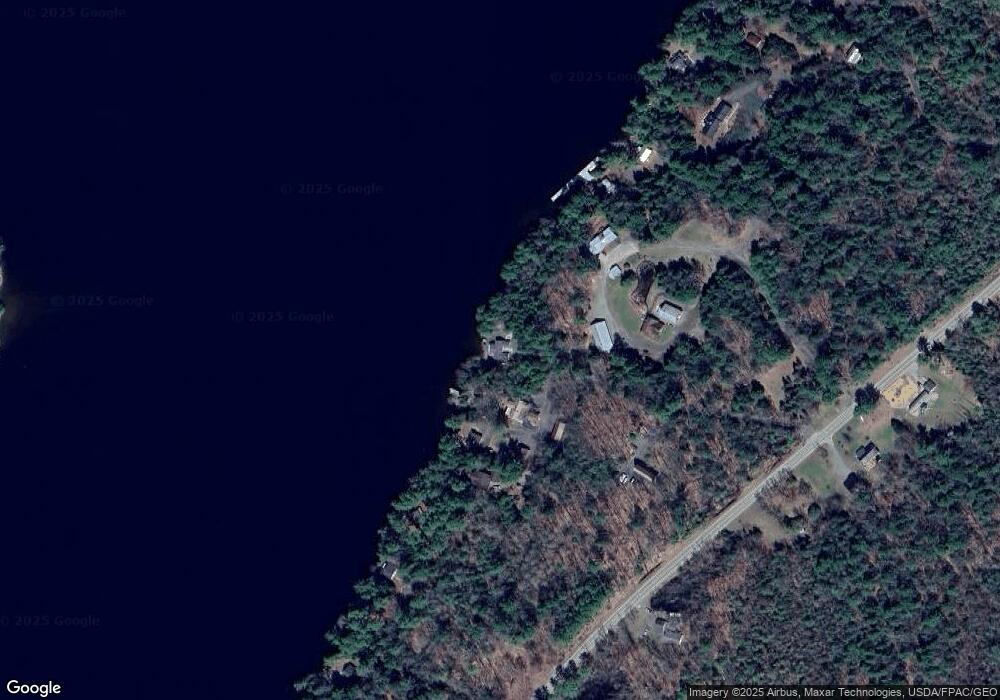
Map
Nearby Homes
- 20 E Side Trail
- 55 Lewis Rd
- 103 Taylor Woods Rd
- 117 Taylor Woods Rd
- 133 Smithfield Rd
- 197 Smithfield Rd
- 9 Snug Harbor Rd
- 30 Porter Dr
- 122 Belgrade Rd
- 88 Belgrade Rd
- Lot # 39-6 Belgrade Estates Dr
- 18 Belgrade Rd
- 35 Belgrade Rd
- 66 Summer St
- 98 Church St
- 19 Autumn Ln
- 41 Milkweed Ln
- Lot 9 Sierrahs Way
- Lot 5 Sierrahs Way
- Lot 6 Sierrahs Way
Your Personal Tour Guide
Ask me questions while you tour the home.