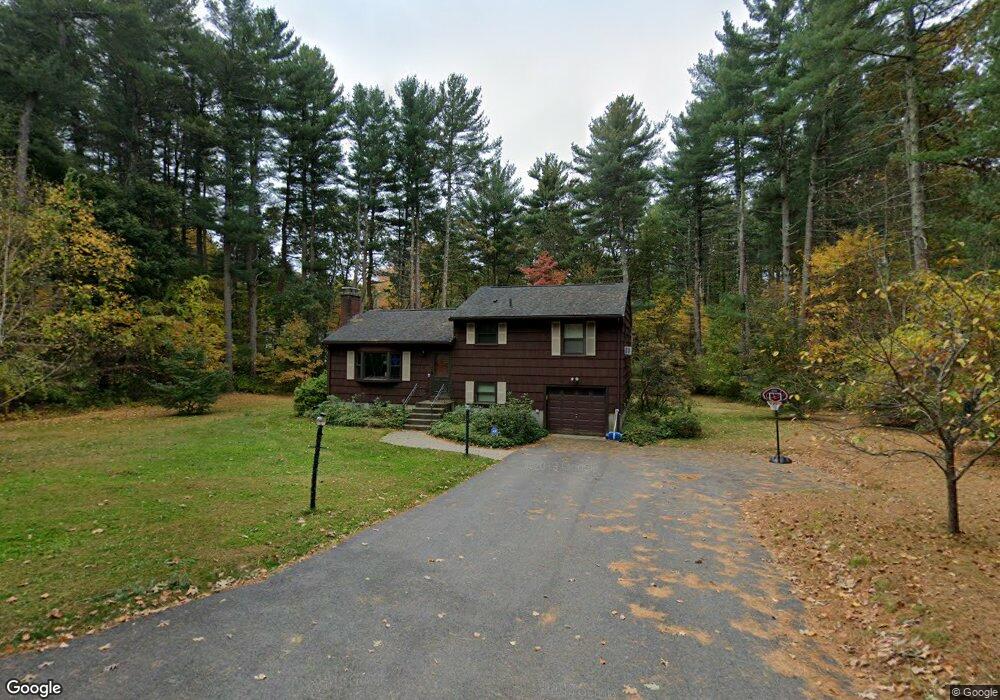
33 Colonial Rd Sudbury, MA 01776
Estimated Value: $775,000 - $864,000
3
Beds
2
Baths
1,800
Sq Ft
$453/Sq Ft
Est. Value
About This Home
This home is located at 33 Colonial Rd, Sudbury, MA 01776 and is currently estimated at $815,827, approximately $453 per square foot. 33 Colonial Rd is a home located in Middlesex County with nearby schools including Peter Noyes Elementary School, Ephraim Curtis Middle School, and Lincoln-Sudbury Regional High School.
Ownership History
Date
Name
Owned For
Owner Type
Purchase Details
Closed on
May 8, 2009
Sold by
Pruneau Paul K and Pruneau Tamahina M
Bought by
Pruneau Paul K and Pruneau Tamahina M
Current Estimated Value
Home Financials for this Owner
Home Financials are based on the most recent Mortgage that was taken out on this home.
Original Mortgage
$352,000
Interest Rate
5.14%
Purchase Details
Closed on
Aug 7, 2006
Sold by
Sales-Cohen Jessica
Bought by
Pruneau Paul K and Melecio Tamahina N
Home Financials for this Owner
Home Financials are based on the most recent Mortgage that was taken out on this home.
Original Mortgage
$388,000
Interest Rate
6.7%
Mortgage Type
Purchase Money Mortgage
Purchase Details
Closed on
Nov 27, 2002
Sold by
Casasent Thomas C and Casasent Elizabeth
Bought by
Cohen Sol J and Cohen Jessica Sales
Create a Home Valuation Report for This Property
The Home Valuation Report is an in-depth analysis detailing your home's value as well as a comparison with similar homes in the area
Home Values in the Area
Average Home Value in this Area
Purchase History
| Date | Buyer | Sale Price | Title Company |
|---|---|---|---|
| Pruneau Paul K | -- | -- | |
| Pruneau Paul K | -- | -- | |
| Pruneau Paul K | $485,000 | -- | |
| Pruneau Paul K | $485,000 | -- | |
| Cohen Sol J | $410,000 | -- | |
| Cohen Sol J | $410,000 | -- |
Source: Public Records
Mortgage History
| Date | Status | Borrower | Loan Amount |
|---|---|---|---|
| Open | Cohen Sol J | $346,700 | |
| Previous Owner | Cohen Sol J | $352,000 | |
| Previous Owner | Pruneau Paul K | $388,000 |
Source: Public Records
Tax History
| Year | Tax Paid | Tax Assessment Tax Assessment Total Assessment is a certain percentage of the fair market value that is determined by local assessors to be the total taxable value of land and additions on the property. | Land | Improvement |
|---|---|---|---|---|
| 2025 | $10,965 | $749,000 | $462,400 | $286,600 |
| 2024 | $10,604 | $725,800 | $448,800 | $277,000 |
| 2023 | $10,556 | $669,400 | $415,600 | $253,800 |
| 2022 | $10,027 | $555,500 | $381,200 | $174,300 |
| 2021 | $9,801 | $520,500 | $381,200 | $139,300 |
| 2020 | $9,603 | $520,500 | $381,200 | $139,300 |
| 2019 | $9,322 | $520,500 | $381,200 | $139,300 |
| 2018 | $9,281 | $517,600 | $401,200 | $116,400 |
| 2017 | $8,953 | $504,700 | $396,400 | $108,300 |
| 2016 | $8,690 | $488,200 | $381,200 | $107,000 |
| 2015 | $8,189 | $465,300 | $366,400 | $98,900 |
| 2014 | $8,146 | $451,800 | $355,600 | $96,200 |
Source: Public Records
Map
Nearby Homes
- 62 Churchill St
- 46 Brewster Rd
- 427 Concord Rd
- 11 October Rd
- 11 Farmstead Ln Unit 11
- 30 Rolling Ln
- 26 Clark Rd
- 30 Kendall Rd
- 1011 Boston Post Rd
- 111 Willis Rd
- 557 Dutton Rd Unit 2
- 0 Robbins Rd
- 45 Webster Cir
- 24 Woodland Rd
- 55 Widow Rites Ln
- 45 Widow Rites Ln
- 30 Harness Ln
- 53 Pine St
- 15 Harness Ln
- 725 Boston Post Rd Unit 12
Your Personal Tour Guide
Ask me questions while you tour the home.