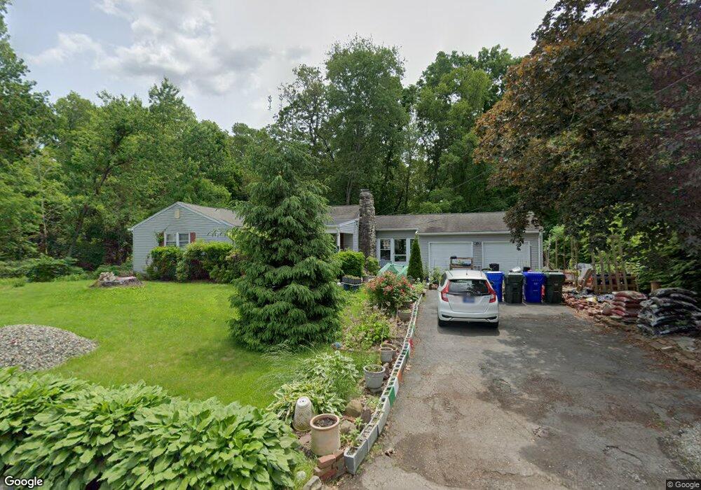
33 Colorado St Springfield, MA 01118
Estimated Value: $289,996 - $331,000
2
Beds
2
Baths
1,184
Sq Ft
$258/Sq Ft
Est. Value
About This Home
This home is located at 33 Colorado St, Springfield, MA 01118 and is currently estimated at $305,749, approximately $258 per square foot. 33 Colorado St is a home located in Hampden County with nearby schools including Meadowbrook Elementary School, Birchland Park Middle School, and East Longmeadow High School.
Ownership History
Date
Name
Owned For
Owner Type
Purchase Details
Closed on
Jan 31, 2008
Sold by
Townsend Marilyn W and Townsend Karen L
Bought by
Demusis Robert P
Current Estimated Value
Home Financials for this Owner
Home Financials are based on the most recent Mortgage that was taken out on this home.
Original Mortgage
$132,000
Outstanding Balance
$83,783
Interest Rate
6.18%
Mortgage Type
Purchase Money Mortgage
Estimated Equity
$221,966
Create a Home Valuation Report for This Property
The Home Valuation Report is an in-depth analysis detailing your home's value as well as a comparison with similar homes in the area
Home Values in the Area
Average Home Value in this Area
Purchase History
| Date | Buyer | Sale Price | Title Company |
|---|---|---|---|
| Demusis Robert P | $165,000 | -- |
Source: Public Records
Mortgage History
| Date | Status | Borrower | Loan Amount |
|---|---|---|---|
| Open | Demusis Robert P | $132,000 |
Source: Public Records
Tax History
| Year | Tax Paid | Tax Assessment Tax Assessment Total Assessment is a certain percentage of the fair market value that is determined by local assessors to be the total taxable value of land and additions on the property. | Land | Improvement |
|---|---|---|---|---|
| 2025 | $1,955 | $105,800 | $42,400 | $63,400 |
| 2024 | $1,969 | $106,200 | $42,400 | $63,800 |
| 2023 | $1,870 | $97,400 | $38,600 | $58,800 |
| 2022 | $1,781 | $87,800 | $35,100 | $52,700 |
| 2021 | $2,432 | $115,500 | $64,900 | $50,600 |
| 2020 | $2,355 | $113,000 | $64,900 | $48,100 |
| 2019 | $2,256 | $109,800 | $63,000 | $46,800 |
| 2018 | $2,230 | $106,500 | $63,000 | $43,500 |
| 2017 | $2,094 | $100,800 | $59,800 | $41,000 |
| 2016 | $2,222 | $105,200 | $64,600 | $40,600 |
| 2015 | $2,180 | $105,200 | $64,600 | $40,600 |
Source: Public Records
Map
Nearby Homes
- 46 Hadley St
- 206 Treetop Ave
- 119 Powell Ave
- 125 Manor Ct Unit 125
- 19 Manor Ct Unit 19
- 17 Pebble Mill Rd
- 78 Wood Ave
- 0 Donald Ave
- 65 Helen Cir
- 26 Dwight Rd
- 55 Allen St
- 161 Dorset St
- 13 Bither St
- 38 Manchester Terrace
- 1088 Sumner Ave
- 34 Castle St
- 33-35 Ruskin St
- 5 Fenimore Blvd
- 22 Eleanor Rd
- 79 Roosevelt Ave
- 33 Colorado St
- 19 Colorado St
- 47 Colorado St
- 38 Colorado St
- 30 Colorado St
- 44 Colorado St
- 17 W Allen Ridge Rd
- 11 W Allen Ridge Rd
- 7 Colorado St
- 52 Colorado St
- 14 Colorado St
- 58 Colorado St
- 37 Endicott St
- 29 Endicott St
- 7 W Allen Ridge Rd
- 297 W Allen Ridge Rd
- 21 Endicott St
- 45 Endicott St
- 15 Endicott St
- 66 Colorado St
Your Personal Tour Guide
Ask me questions while you tour the home.