33 Conservation Way Stoughton, MA 02072
Estimated Value: $628,376 - $663,000
2
Beds
3
Baths
2,148
Sq Ft
$298/Sq Ft
Est. Value
About This Home
This home is located at 33 Conservation Way, Stoughton, MA 02072 and is currently estimated at $639,844, approximately $297 per square foot. 33 Conservation Way is a home located in Norfolk County with nearby schools including Joseph H. Gibbons Elementary School, Dr. Robert G. O'Donnell Middle School, and Stoughton High School.
Ownership History
Date
Name
Owned For
Owner Type
Purchase Details
Closed on
Jul 1, 2010
Sold by
Village At Ames Pond L
Bought by
Lencz Larry and Lencz Darlene
Current Estimated Value
Home Financials for this Owner
Home Financials are based on the most recent Mortgage that was taken out on this home.
Original Mortgage
$299,920
Outstanding Balance
$200,889
Interest Rate
4.88%
Mortgage Type
Purchase Money Mortgage
Estimated Equity
$438,955
Create a Home Valuation Report for This Property
The Home Valuation Report is an in-depth analysis detailing your home's value as well as a comparison with similar homes in the area
Home Values in the Area
Average Home Value in this Area
Purchase History
| Date | Buyer | Sale Price | Title Company |
|---|---|---|---|
| Lencz Larry | $374,900 | -- |
Source: Public Records
Mortgage History
| Date | Status | Borrower | Loan Amount |
|---|---|---|---|
| Open | Lencz Larry | $299,920 |
Source: Public Records
Tax History Compared to Growth
Tax History
| Year | Tax Paid | Tax Assessment Tax Assessment Total Assessment is a certain percentage of the fair market value that is determined by local assessors to be the total taxable value of land and additions on the property. | Land | Improvement |
|---|---|---|---|---|
| 2025 | $7,126 | $575,600 | $0 | $575,600 |
| 2024 | $7,023 | $551,700 | $0 | $551,700 |
| 2023 | $6,954 | $513,200 | $0 | $513,200 |
| 2022 | $6,519 | $452,400 | $0 | $452,400 |
| 2021 | $6,744 | $446,600 | $0 | $446,600 |
| 2020 | $6,650 | $446,600 | $0 | $446,600 |
| 2019 | $6,682 | $435,600 | $0 | $435,600 |
| 2018 | $6,148 | $415,100 | $0 | $415,100 |
| 2017 | $5,040 | $347,800 | $0 | $347,800 |
| 2016 | $5,187 | $346,500 | $0 | $346,500 |
| 2015 | $4,787 | $316,400 | $0 | $316,400 |
| 2014 | $5,320 | $338,000 | $0 | $338,000 |
Source: Public Records
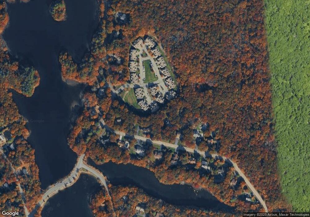
Map
Nearby Homes
- 93 Palisades Cir
- 1600 West St
- 175 N Main St
- 12 Holmes St
- 4 Eagle Rock Rd
- 15 King Ave
- 14 Marshall Rd
- 79 Lucas Dr
- 2 Palace Ct
- 93 McEachron Dr
- 8 Hobart Way
- Lot 4 West St
- 11 Olde Stable Ln
- 86 Union St
- 110 Union St
- 1 Whittier Ln Unit 1
- 18 Prudence Crandall Ln Unit 18
- Lot 1 Winterberry Ln
- Lot 8 Cooper Ln
- Lot 2 Winterberry Ln
- 34 Conservation Way
- 30 Conservation Way
- 29 Conservation Way
- 29 Conservation Way Unit 29
- 37 Conservation Way
- 36 Conservation Way
- 35 Conservation Way
- 32 Conservation Way
- 31 Conservation Way
- 28 Conservation Way
- 27 Conservation Way
- 26 Conservation Way
- 319 Palisades Cir
- 40 Conservation Way
- 39 Conservation Way
- 301 Palisades Cir
- 38 Conservation Way
- 25 Conservation Way
- 24 Conservation Way
- 23 Conservation Way