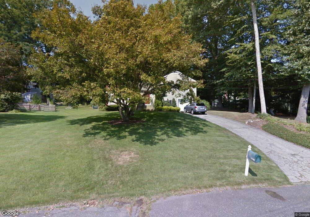
33 Cornwall Rd Norwalk, CT 06850
West Norwalk NeighborhoodEstimated Value: $656,000 - $696,000
3
Beds
2
Baths
1,172
Sq Ft
$575/Sq Ft
Est. Value
About This Home
This home is located at 33 Cornwall Rd, Norwalk, CT 06850 and is currently estimated at $673,685, approximately $574 per square foot. 33 Cornwall Rd is a home located in Fairfield County with nearby schools including Fox Run Elementary School, Ponus Ridge Middle School, and Brien Mcmahon High School.
Ownership History
Date
Name
Owned For
Owner Type
Purchase Details
Closed on
May 4, 2007
Sold by
Mers
Bought by
Corbin Ken L and Corbin Barbara
Current Estimated Value
Purchase Details
Closed on
Nov 10, 2004
Sold by
Damato Tara and Bakes Patricia D
Bought by
Fischman Christopher
Create a Home Valuation Report for This Property
The Home Valuation Report is an in-depth analysis detailing your home's value as well as a comparison with similar homes in the area
Home Values in the Area
Average Home Value in this Area
Purchase History
| Date | Buyer | Sale Price | Title Company |
|---|---|---|---|
| Corbin Ken L | $477,000 | -- | |
| Corbin Ken L | $477,000 | -- | |
| Fischman Christopher | $495,000 | -- | |
| Fischman Christopher | $495,000 | -- |
Source: Public Records
Mortgage History
| Date | Status | Borrower | Loan Amount |
|---|---|---|---|
| Open | Fischman Christopher | $50,000 | |
| Open | Fischman Christopher | $351,500 |
Source: Public Records
Tax History
| Year | Tax Paid | Tax Assessment Tax Assessment Total Assessment is a certain percentage of the fair market value that is determined by local assessors to be the total taxable value of land and additions on the property. | Land | Improvement |
|---|---|---|---|---|
| 2025 | $9,205 | $384,410 | $211,010 | $173,400 |
| 2024 | $9,069 | $384,410 | $211,010 | $173,400 |
| 2023 | $7,438 | $295,610 | $166,170 | $129,440 |
| 2022 | $7,299 | $295,610 | $166,170 | $129,440 |
| 2021 | $7,109 | $295,610 | $166,170 | $129,440 |
| 2020 | $7,106 | $295,610 | $166,170 | $129,440 |
| 2019 | $6,907 | $295,610 | $166,170 | $129,440 |
| 2018 | $8,033 | $301,290 | $188,850 | $112,440 |
| 2017 | $7,757 | $301,290 | $188,850 | $112,440 |
| 2016 | $7,715 | $302,550 | $188,850 | $113,700 |
| 2015 | $7,662 | $301,290 | $188,850 | $112,440 |
| 2014 | $7,562 | $301,290 | $188,850 | $112,440 |
Source: Public Records
Map
Nearby Homes
- 201 New Canaan Ave
- 31 Cornwall Rd
- 203 New Canaan Ave
- 30 Cornwall Rd
- 32 Cornwall Rd
- 29 Cornwall Rd
- 205 New Canaan Ave
- 57 Ledgewood Dr
- 12 Forbell Dr
- 55 Ledgewood Dr
- 28 Cornwall Rd
- 191 New Canaan Ave
- 53 Ledgewood Dr
- 27 Cornwall Rd
- 8 Forbell Dr
- 196 New Canaan Ave
- 209 New Canaan Ave
- 26 Cornwall Rd
- 204 New Canaan Ave
- 194 New Canaan Ave
Your Personal Tour Guide
Ask me questions while you tour the home.