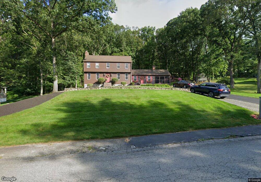
33 Cranberry Rd Dracut, MA 01826
Estimated Value: $682,000 - $781,000
3
Beds
3
Baths
1,946
Sq Ft
$371/Sq Ft
Est. Value
About This Home
This home is located at 33 Cranberry Rd, Dracut, MA 01826 and is currently estimated at $721,382, approximately $370 per square foot. 33 Cranberry Rd is a home located in Middlesex County with nearby schools including Joseph A. Campbell Elementary School, Richardson Middle School, and Dracut Senior High School.
Ownership History
Date
Name
Owned For
Owner Type
Purchase Details
Closed on
May 10, 2023
Sold by
Dicarlo Joseph J and Dicarlo Stephanie
Bought by
Stephanie Dicarlo 2021 Lt
Current Estimated Value
Purchase Details
Closed on
Apr 16, 2021
Sold by
Dicarlo Joseph J and Dicarlo Stephanie
Bought by
Dicarlo Joseph J and Dicarlo Stephanie
Purchase Details
Closed on
Nov 7, 1980
Bought by
Dicarlo Joseph and Dicarlo Stephanie
Create a Home Valuation Report for This Property
The Home Valuation Report is an in-depth analysis detailing your home's value as well as a comparison with similar homes in the area
Home Values in the Area
Average Home Value in this Area
Purchase History
| Date | Buyer | Sale Price | Title Company |
|---|---|---|---|
| Stephanie Dicarlo 2021 Lt | -- | None Available | |
| Dicarlo Joseph J | -- | None Available | |
| Dicarlo Joseph | -- | -- |
Source: Public Records
Tax History
| Year | Tax Paid | Tax Assessment Tax Assessment Total Assessment is a certain percentage of the fair market value that is determined by local assessors to be the total taxable value of land and additions on the property. | Land | Improvement |
|---|---|---|---|---|
| 2025 | $6,369 | $629,300 | $256,000 | $373,300 |
| 2024 | $6,196 | $592,900 | $244,000 | $348,900 |
| 2023 | $6,003 | $518,400 | $212,300 | $306,100 |
| 2022 | $5,846 | $475,700 | $193,100 | $282,600 |
| 2021 | $6,805 | $430,900 | $175,400 | $255,500 |
| 2020 | $5,431 | $406,800 | $170,100 | $236,700 |
| 2019 | $5,177 | $376,500 | $162,000 | $214,500 |
| 2018 | $5,648 | $374,700 | $162,000 | $212,700 |
| 2017 | $5,264 | $374,700 | $162,000 | $212,700 |
| 2016 | $5,227 | $352,200 | $162,800 | $189,400 |
| 2015 | $5,057 | $338,700 | $162,800 | $175,900 |
| 2014 | $4,740 | $327,100 | $162,800 | $164,300 |
Source: Public Records
Map
Nearby Homes
- 277 Loon Hill Rd
- 10 Lanseigne St
- 144 Thissell Ave Unit 11
- 315 Broadway Rd Unit 1
- 315 Broadway Rd Unit 7
- 4 Hazelwood Ave Unit 12
- 287 Fox Ave
- 84 Tellier Way
- 668 Robbins Ave Unit 1
- 700 Robbins Ave Unit 6
- 11 Joseph Ave
- 935 Methuen St Unit 13
- 89 Newbury St
- 69 Arlington St
- 40 Arlington Ave
- 175 Willard St Unit 9
- 30 Parker Rd
- 1391 Bridge St
- 194 River Rd
- 785 Broadway Rd
- 43 Cranberry Rd
- 23 Cranberry Rd
- 32 Cranberry Rd
- 22 Cranberry Rd
- 42 Cranberry Rd
- 82 Lexington Rd
- 53 Cranberry Rd
- 92 Lexington Rd
- 10 Blacksmith Rd
- 68 Lexington Rd
- 102 Lexington Rd
- 63 Cranberry Rd
- 20 Blacksmith Rd
- 87 Lexington Rd
- 52 Cranberry Rd
- 58 Lexington Rd
- 97 Lexington Rd
- 29 Shady Ln
- 77 Lexington Rd
- 28 Blacksmith Rd
Your Personal Tour Guide
Ask me questions while you tour the home.