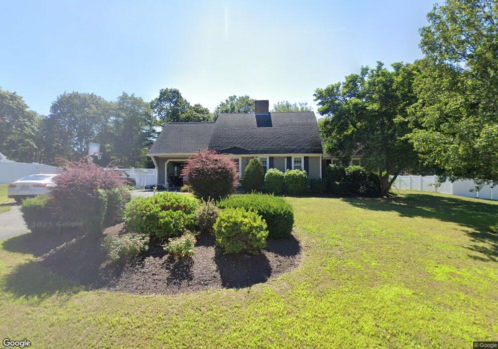
33 Curtis Cir East Weymouth, MA 02189
East Weymouth NeighborhoodEstimated Value: $792,000 - $850,000
--
Bed
3
Baths
2,029
Sq Ft
$400/Sq Ft
Est. Value
About This Home
This home is located at 33 Curtis Cir, East Weymouth, MA 02189 and is currently estimated at $810,808, approximately $399 per square foot. 33 Curtis Cir is a home located in Norfolk County with nearby schools including Abigail Adams Middle School, Weymouth Middle School Chapman, and Weymouth High School.
Ownership History
Date
Name
Owned For
Owner Type
Purchase Details
Closed on
May 10, 2022
Sold by
Obrien Paul F and Obrien Angela M
Bought by
P A Obrien Ft
Current Estimated Value
Purchase Details
Closed on
Aug 15, 1996
Sold by
Kitchen David H and Kitchen Susan C
Bought by
Obrien Paul F and Mcobrien Angela Mc
Home Financials for this Owner
Home Financials are based on the most recent Mortgage that was taken out on this home.
Original Mortgage
$168,000
Interest Rate
8.08%
Mortgage Type
Purchase Money Mortgage
Purchase Details
Closed on
Jul 13, 1990
Sold by
Byron Gerard E
Bought by
Kitchen David H
Create a Home Valuation Report for This Property
The Home Valuation Report is an in-depth analysis detailing your home's value as well as a comparison with similar homes in the area
Home Values in the Area
Average Home Value in this Area
Purchase History
| Date | Buyer | Sale Price | Title Company |
|---|---|---|---|
| P A Obrien Ft | -- | None Available | |
| Obrien Paul F | $210,000 | -- | |
| Kitchen David H | $205,000 | -- |
Source: Public Records
Mortgage History
| Date | Status | Borrower | Loan Amount |
|---|---|---|---|
| Previous Owner | Kitchen David H | $190,000 | |
| Previous Owner | Kitchen David H | $168,000 |
Source: Public Records
Tax History Compared to Growth
Tax History
| Year | Tax Paid | Tax Assessment Tax Assessment Total Assessment is a certain percentage of the fair market value that is determined by local assessors to be the total taxable value of land and additions on the property. | Land | Improvement |
|---|---|---|---|---|
| 2025 | $8,594 | $850,900 | $217,800 | $633,100 |
| 2024 | $8,329 | $811,000 | $207,500 | $603,500 |
| 2023 | $7,933 | $759,100 | $192,100 | $567,000 |
| 2022 | $7,659 | $668,300 | $177,900 | $490,400 |
| 2021 | $6,810 | $580,100 | $177,900 | $402,200 |
| 2020 | $6,421 | $538,700 | $169,000 | $369,700 |
| 2019 | $6,159 | $508,200 | $153,900 | $354,300 |
| 2018 | $5,946 | $475,700 | $146,600 | $329,100 |
| 2017 | $5,862 | $457,600 | $139,600 | $318,000 |
| 2016 | $5,800 | $453,100 | $134,300 | $318,800 |
| 2015 | $5,494 | $425,900 | $134,300 | $291,600 |
| 2014 | $5,380 | $404,500 | $138,800 | $265,700 |
Source: Public Records
Map
Nearby Homes
- 10 Duck Ln
- 38 School St Unit 2
- 9 Cranberry Ln
- 17 Grove St
- 7 Stevens Way
- 249 High St
- 1297 Pleasant St
- 425 East St
- 56 Putnam St
- 171 Fort Hill St
- 30 Puritan Rd
- 124 Charles Diersch St
- 575 Broad St Unit 305
- 575 Broad St Unit 215
- 2 Winstead Rd
- 209 Lake St Unit 69
- 2 Black Rock Dr Unit 21
- 2 Black Rock Dr
- 29-31 Broad Street Place
- 303 Middle St
- 23 Curtis Cir
- 45 Curtis Cir
- 32 Curtis Cir
- 42 Curtis Cir
- 55 Curtis Cir
- 22 Curtis Cir
- 15 Curtis Cir
- 40 Ashmont St
- 54 Curtis Cir
- 12 Curtis Cir
- 105 Grant St
- 105 Grant St Unit 3
- 99 Grant St
- 37 Suwanee Rd
- 37 Suwanee Rd
- 43 Suwanee Rd
- 61 Curtis Cir
- 1645 Commercial St Unit 1647
- 111-113 Grant St
- 111 Grant St Unit 113