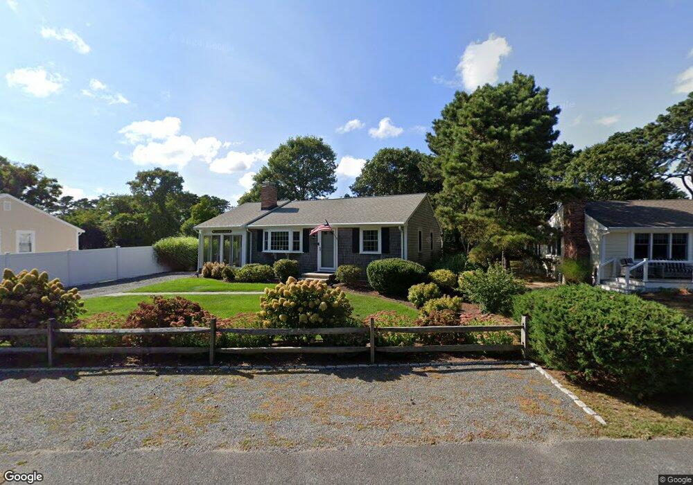
33 Cygnet Rd West Dennis, MA 2670
West Dennis NeighborhoodEstimated Value: $582,000 - $810,000
3
Beds
1
Bath
956
Sq Ft
$721/Sq Ft
Est. Value
About This Home
This home is located at 33 Cygnet Rd, West Dennis, MA 2670 and is currently estimated at $689,525, approximately $721 per square foot. 33 Cygnet Rd is a home located in Barnstable County with nearby schools including Dennis-Yarmouth Regional High School and St. Pius X. School.
Ownership History
Date
Name
Owned For
Owner Type
Purchase Details
Closed on
May 25, 2016
Sold by
7 Fortune Drive Rt and Fata
Bought by
Sheahan Denis J and Sheahan Denise
Current Estimated Value
Purchase Details
Closed on
Aug 11, 2014
Sold by
Garrity Robert J and Fata Donna
Bought by
7 Fortune Drive Rt and Fata
Purchase Details
Closed on
Jan 10, 1980
Bought by
7 Fortune Dr Rt
Create a Home Valuation Report for This Property
The Home Valuation Report is an in-depth analysis detailing your home's value as well as a comparison with similar homes in the area
Home Values in the Area
Average Home Value in this Area
Purchase History
| Date | Buyer | Sale Price | Title Company |
|---|---|---|---|
| Sheahan Denis J | $380,000 | -- | |
| 7 Fortune Drive Rt | -- | -- | |
| 7 Fortune Drive Rt | -- | -- | |
| 7 Fortune Dr Rt | -- | -- |
Source: Public Records
Tax History Compared to Growth
Tax History
| Year | Tax Paid | Tax Assessment Tax Assessment Total Assessment is a certain percentage of the fair market value that is determined by local assessors to be the total taxable value of land and additions on the property. | Land | Improvement |
|---|---|---|---|---|
| 2025 | $2,687 | $620,500 | $293,300 | $327,200 |
| 2024 | $2,526 | $575,300 | $282,000 | $293,300 |
| 2023 | $2,443 | $523,100 | $256,400 | $266,700 |
| 2022 | $2,403 | $429,100 | $231,000 | $198,100 |
| 2021 | $2,349 | $389,500 | $226,400 | $163,100 |
| 2020 | $2,285 | $374,600 | $226,400 | $148,200 |
| 2019 | $2,340 | $379,300 | $245,400 | $133,900 |
| 2018 | $2,255 | $355,600 | $233,600 | $122,000 |
| 2017 | $1,830 | $297,600 | $178,000 | $119,600 |
| 2016 | $1,886 | $288,800 | $189,100 | $99,700 |
| 2015 | $1,898 | $296,600 | $189,100 | $107,500 |
| 2014 | $1,883 | $296,600 | $189,100 | $107,500 |
Source: Public Records
Map
Nearby Homes
- 80 Michaels Ave
- 12 Spoonbill Rd
- 15 Woodside Park Rd
- 19 Standish Way
- 61 Trotters Ln
- 71 Main St
- 4 Coffey Ln
- 26 Center St
- 125 Main St Unit 3
- 95 Center St
- 31 Easy St
- 3 Pinefield Ln
- 22 Wixon Rd
- 37 Ocean Dr Unit 2
- 72 Bassett Ln
- 64 Beaten Rd
- 268 Main St
- 467 Main St
- 112 Old Wharf Rd Unit E4
- 112 Old Wharf Rd Unit E1