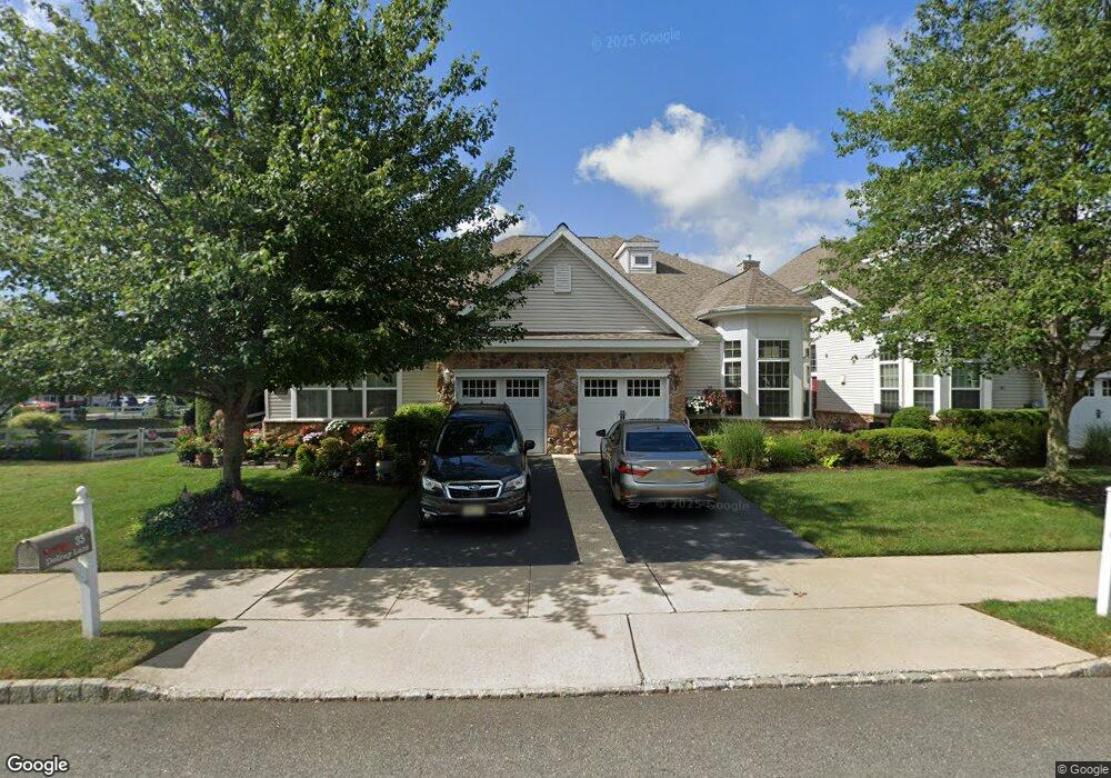
33 Delray Ln Absecon, NJ 08201
Estimated Value: $290,294 - $321,000
3
Beds
3
Baths
1,900
Sq Ft
$162/Sq Ft
Est. Value
About This Home
This home is located at 33 Delray Ln, Absecon, NJ 08201 and is currently estimated at $308,324, approximately $162 per square foot. 33 Delray Ln is a home located in Atlantic County with nearby schools including H. Ashton Marsh Elementary School, Emma C. Attales Middle School, and Life Point Academy/ Life Point Church.
Ownership History
Date
Name
Owned For
Owner Type
Purchase Details
Closed on
Mar 16, 2010
Sold by
Deutsche Bank National Trust Company
Bought by
Lang Walter and Lang Lena
Current Estimated Value
Purchase Details
Closed on
Jan 20, 2010
Sold by
Green William J
Bought by
Deutsche Bank National Trust Company
Purchase Details
Closed on
Oct 4, 2005
Sold by
Beazer Homes Corp
Bought by
William Green
Home Financials for this Owner
Home Financials are based on the most recent Mortgage that was taken out on this home.
Original Mortgage
$189,700
Interest Rate
6.34%
Mortgage Type
Purchase Money Mortgage
Create a Home Valuation Report for This Property
The Home Valuation Report is an in-depth analysis detailing your home's value as well as a comparison with similar homes in the area
Home Values in the Area
Average Home Value in this Area
Purchase History
| Date | Buyer | Sale Price | Title Company |
|---|---|---|---|
| Lang Walter | $172,300 | Reo First American | |
| Deutsche Bank National Trust Company | -- | None Available | |
| William Green | $237,160 | -- |
Source: Public Records
Mortgage History
| Date | Status | Borrower | Loan Amount |
|---|---|---|---|
| Previous Owner | William Green | $189,700 |
Source: Public Records
Tax History
| Year | Tax Paid | Tax Assessment Tax Assessment Total Assessment is a certain percentage of the fair market value that is determined by local assessors to be the total taxable value of land and additions on the property. | Land | Improvement |
|---|---|---|---|---|
| 2025 | $5,377 | $160,700 | $29,000 | $131,700 |
| 2024 | $5,090 | $160,700 | $29,000 | $131,700 |
Source: Public Records
Map
Nearby Homes
- 56 W Delray Ln
- 58 Delray Ln
- 113 Hilton Head Ct
- 614 Ohio Ave
- 318 E White Horse Pike
- 129 Hilton Head Ct
- 138 Hilton Head Ct
- 19 Oyster Bay Rd Unit G
- 238 Huntington Dr
- 635 W California Ave
- 39 Theresa Ct
- 25 Oyster Bay Rd Unit C
- 25 Oyster Bay Rd
- 13 Oyster Bay Rd Unit C
- 10 Oyster Bay Rd Unit H
- 4 Oyster Bay Rd Unit 4M
- 4 Oyster Bay Rd Unit 4K
- 4 Oyster Bay Rd Unit C
- 319 Vero Rd
- 315 Vero Rd
Your Personal Tour Guide
Ask me questions while you tour the home.