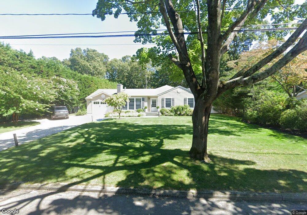
33 Denison Rd Sag Harbor, NY 11963
Estimated Value: $2,320,000 - $3,350,000
3
Beds
2
Baths
2,274
Sq Ft
$1,157/Sq Ft
Est. Value
About This Home
This home is located at 33 Denison Rd, Sag Harbor, NY 11963 and is currently estimated at $2,630,510, approximately $1,156 per square foot. 33 Denison Rd is a home located in Suffolk County with nearby schools including Sag Harbor Elementary School, Pierson Middle/High School, and Ross School.
Ownership History
Date
Name
Owned For
Owner Type
Purchase Details
Closed on
Aug 13, 2021
Sold by
Prober Carla R
Bought by
Carla Rae Prober Salm Ret
Current Estimated Value
Purchase Details
Closed on
Oct 13, 2017
Sold by
Gold Susan A
Bought by
Prober Carla-Rae
Home Financials for this Owner
Home Financials are based on the most recent Mortgage that was taken out on this home.
Original Mortgage
$825,000
Interest Rate
2.63%
Mortgage Type
Adjustable Rate Mortgage/ARM
Purchase Details
Closed on
Jan 28, 2002
Sold by
Dodderidge Daniel and Dodderidge Nancy
Bought by
Gold Susan A
Home Financials for this Owner
Home Financials are based on the most recent Mortgage that was taken out on this home.
Original Mortgage
$300,000
Interest Rate
7.13%
Purchase Details
Closed on
Jul 9, 1996
Sold by
Dittus Robert T and Dittus Janet C
Bought by
Dodderidge Daniel and Dodderidge Nancy
Create a Home Valuation Report for This Property
The Home Valuation Report is an in-depth analysis detailing your home's value as well as a comparison with similar homes in the area
Home Values in the Area
Average Home Value in this Area
Purchase History
| Date | Buyer | Sale Price | Title Company |
|---|---|---|---|
| Carla Rae Prober Salm Ret | -- | None Available | |
| Prober Carla-Rae | $1,100,000 | -- | |
| Gold Susan A | $375,000 | Fidelity National Title Ins | |
| Dodderidge Daniel | $187,500 | Commonwealth Land Title Ins |
Source: Public Records
Mortgage History
| Date | Status | Borrower | Loan Amount |
|---|---|---|---|
| Previous Owner | Prober Carla-Rae | $825,000 | |
| Previous Owner | Gold Susan A | $300,000 |
Source: Public Records
Tax History Compared to Growth
Tax History
| Year | Tax Paid | Tax Assessment Tax Assessment Total Assessment is a certain percentage of the fair market value that is determined by local assessors to be the total taxable value of land and additions on the property. | Land | Improvement |
|---|---|---|---|---|
| 2024 | $3,705 | $1,333,900 | $730,500 | $603,400 |
| 2023 | $3,668 | $1,333,900 | $730,500 | $603,400 |
| 2022 | $3,622 | $1,333,900 | $730,500 | $603,400 |
| 2021 | $3,644 | $1,333,900 | $730,500 | $603,400 |
| 2020 | $7,148 | $1,333,900 | $730,500 | $603,400 |
| 2019 | $8,903 | $0 | $0 | $0 |
| 2018 | -- | $1,050,600 | $626,200 | $424,400 |
| 2017 | $5,131 | $893,000 | $626,200 | $266,800 |
| 2016 | $4,712 | $788,600 | $521,800 | $266,800 |
| 2015 | -- | $579,900 | $313,100 | $266,800 |
| 2014 | -- | $579,900 | $313,100 | $266,800 |
Source: Public Records
Map
Nearby Homes
- 36 Denison Rd
- 1206 Middle Line Hwy
- 7 Carlisle Ln
- 1635 Sagg Rd
- 25 Round Pond Ln
- 11 Grand St
- 41 Montauk Ave
- 11 Carver St
- 12 Marsden St
- 233 Madison St
- 7 Rosemary Ln
- 5 Washington Ave
- 207 Madison St
- 159 Jermain Ave
- 10 Round Pond Ln
- 14 Hamilton St
- 6 Ackerly St
- 278 Hampton St
- 57 Palmer Terrace
- 57 Jermain Ave
- 29 Denison Rd
- 37 Denison Rd
- 37 Denison Rd
- 362 Division St
- 25 Denison Rd
- 358 Division St
- 41 Denison Rd
- 366 Division St
- 30 Denison Rd
- 354 Division St
- 370 Division St
- 40 Denison Rd
- 21 Denison Rd
- 22 Denison Rd
- 45 Denison Rd
- 352 Division St
- 32 Denison Rd
- 363 Division St
- 19 Denison Rd
- 1211 Middle Line Hwy