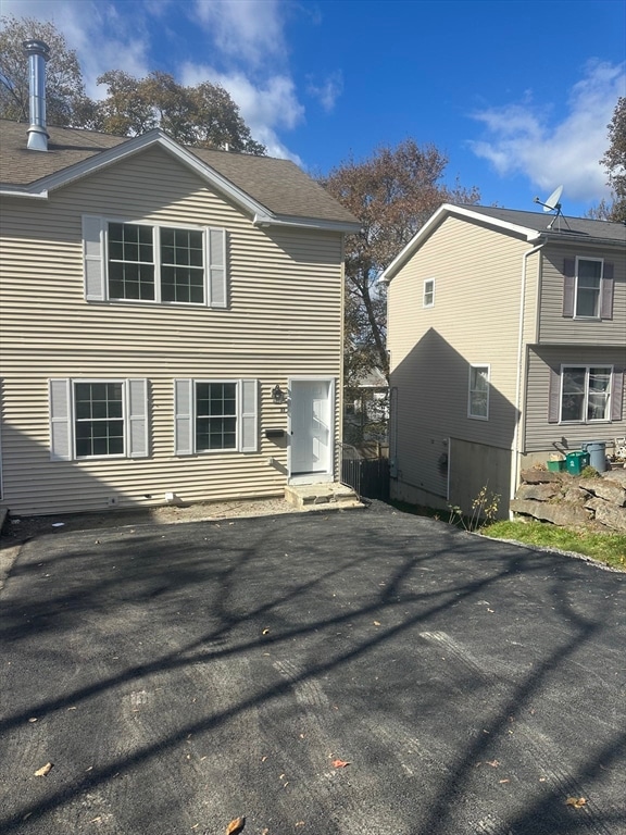
33 Denmark St Worcester, MA 01605
Brittan Square NeighborhoodEstimated payment $2,313/month
About This Home
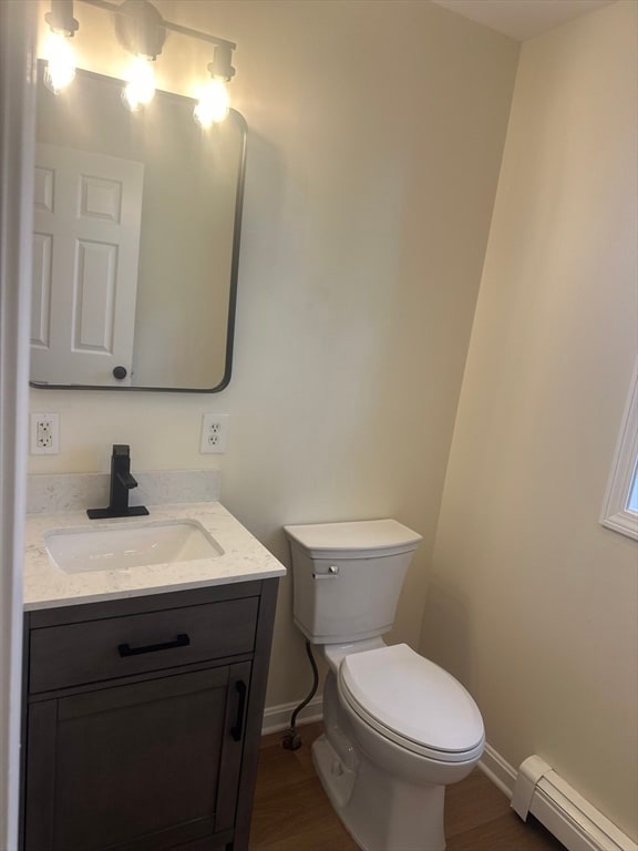
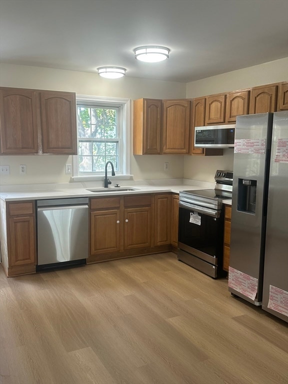
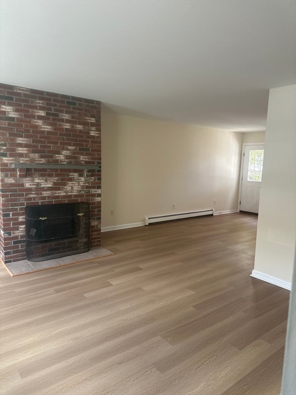
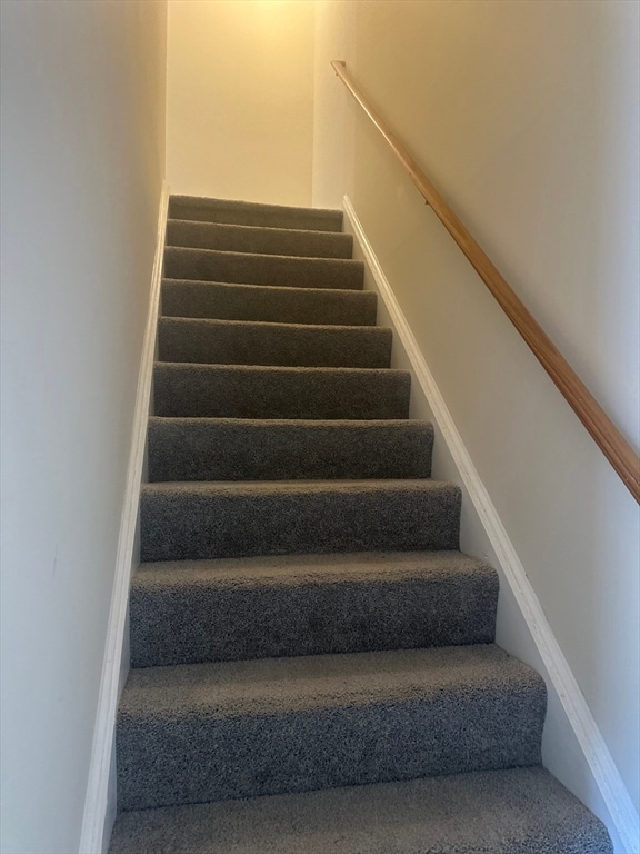
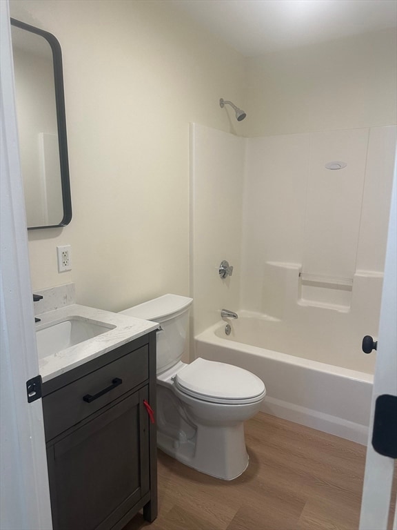
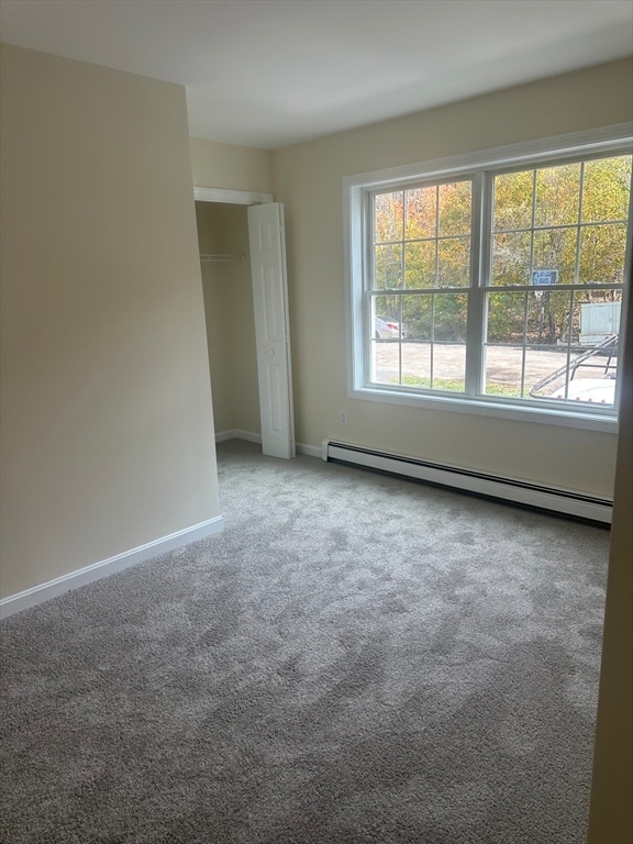
This beautiful 3 bedroom townhome located in a quiet neighborhood where your kids can playNew appliances , wood floors, new carpet on all bedrooms. Nice outdoor patio right of your kitchen perfect for outdoor eating. Plenty of parking spaces with laundry hook up in the basement and lots of storage
Property Details
Home Type
- Multi-Family
Est. Annual Taxes
- $3,910
Year Built
- Built in 2005
Lot Details
- 3,150 Sq Ft Lot
Home Design
- Duplex
- Entry on the 2nd floor
Interior Spaces
- 1,134 Sq Ft Home
- 2-Story Property
- 1 Fireplace
- Basement
Bedrooms and Bathrooms
- 3 Bedrooms
Parking
- 4 Open Parking Spaces
- 4 Car Parking Spaces
Schools
- Belmont Communi Elementary School
- Burncoat Middle School
- Burncoat Senior High School
Utilities
- No Cooling
- Baseboard Heating
Community Details
- 2 Units
Listing and Financial Details
- Assessor Parcel Number M:09 B:017 L:0332,4604528
Map
Home Values in the Area
Average Home Value in this Area
Tax History
| Year | Tax Paid | Tax Assessment Tax Assessment Total Assessment is a certain percentage of the fair market value that is determined by local assessors to be the total taxable value of land and additions on the property. | Land | Improvement |
|---|---|---|---|---|
| 2025 | $3,910 | $296,458 | $59,558 | $236,900 |
| 2024 | $3,684 | $267,958 | $59,558 | $208,400 |
| 2023 | $3,542 | $246,993 | $51,793 | $195,200 |
| 2022 | $3,260 | $214,314 | $41,414 | $172,900 |
| 2021 | $3,113 | $191,226 | $33,126 | $158,100 |
| 2020 | $3,050 | $179,400 | $32,900 | $146,500 |
| 2019 | $2,920 | $162,200 | $28,700 | $133,500 |
| 2018 | $2,908 | $153,800 | $28,700 | $125,100 |
| 2017 | $2,702 | $140,600 | $28,700 | $111,900 |
| 2016 | $2,704 | $131,200 | $21,700 | $109,500 |
| 2015 | $2,633 | $131,200 | $21,700 | $109,500 |
| 2014 | $2,564 | $131,200 | $21,700 | $109,500 |
Property History
| Date | Event | Price | List to Sale | Price per Sq Ft |
|---|---|---|---|---|
| 02/17/2026 02/17/26 | Pending | -- | -- | -- |
| 01/14/2026 01/14/26 | Price Changed | $369,000 | -7.5% | $325 / Sq Ft |
| 11/05/2025 11/05/25 | For Sale | $399,000 | -- | $352 / Sq Ft |
Purchase History
| Date | Type | Sale Price | Title Company |
|---|---|---|---|
| Foreclosure Deed | $205,000 | None Available | |
| Foreclosure Deed | $205,000 | None Available | |
| Foreclosure Deed | $205,000 | None Available | |
| Deed | $179,900 | -- | |
| Deed | $179,900 | -- | |
| Deed | $179,900 | -- |
Mortgage History
| Date | Status | Loan Amount | Loan Type |
|---|---|---|---|
| Previous Owner | $140,000 | Purchase Money Mortgage |
Source: MLS Property Information Network (MLS PIN)
MLS Number: 73452084
APN: WORC-000009-000017-000033-000002
Disclaimer: Certain information contained herein is derived from information provided by parties other than Homes.com. All information provided is deemed reliable, but is not guaranteed to be accurate and should be independently verified.
![]() The property listing data and information, or the Images, set forth herein were provided to MLS Property Information Network, Inc. from third party sources, including sellers, lessors and public records, and were compiled by MLS Property Information Network, Inc. The property listing data and information, and the Images, are for the personal, non-commercial use of consumers having a good faith interest in purchasing or leasing listed properties of the type displayed to them and may not be used for any purpose other than to identify prospective properties which such consumers may have a good faith interest in purchasing or leasing. MLS Property Information Network, Inc. and its subscribers disclaim any and all representations and warranties as to the accuracy of the property listing data and information, or as to the accuracy of any of the Images, set forth herein.
The property listing data and information, or the Images, set forth herein were provided to MLS Property Information Network, Inc. from third party sources, including sellers, lessors and public records, and were compiled by MLS Property Information Network, Inc. The property listing data and information, and the Images, are for the personal, non-commercial use of consumers having a good faith interest in purchasing or leasing listed properties of the type displayed to them and may not be used for any purpose other than to identify prospective properties which such consumers may have a good faith interest in purchasing or leasing. MLS Property Information Network, Inc. and its subscribers disclaim any and all representations and warranties as to the accuracy of the property listing data and information, or as to the accuracy of any of the Images, set forth herein.
- 51 Uxbridge St
- 249 Lincoln St
- 95 Green Hill Pkwy
- 2 Selden St
- 78 Green Hill Pkwy
- 27 Harlow St
- 5 Wakefield St
- 26 Orne St
- 176 Lincoln St Unit 4
- 36 Melrose St
- 41 Westminster St
- 139 Lincoln St
- 15 Breck St
- 6 Mount Vernon St Unit D
- 91 Stanton St
- 100 Burncoat St
- 25 Kenwood Ave
- 32 Hemans St
- 18 Davidson Rd
- 26 Vinson St

Ask me questions while you tour the home.