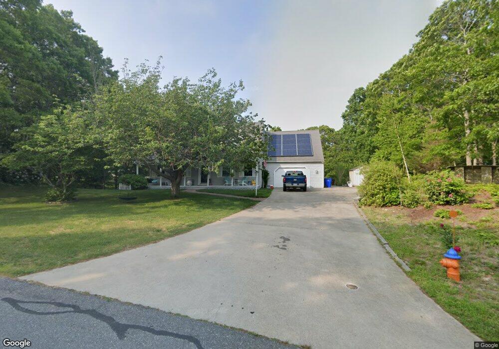
33 Diandy Rd Sagamore Beach, MA 02562
Estimated Value: $695,790 - $865,000
3
Beds
3
Baths
2,323
Sq Ft
$331/Sq Ft
Est. Value
About This Home
This home is located at 33 Diandy Rd, Sagamore Beach, MA 02562 and is currently estimated at $768,198, approximately $330 per square foot. 33 Diandy Rd is a home located in Barnstable County with nearby schools including Bourne High School, Bridgeview Montessori School, and New Testament Christian School.
Ownership History
Date
Name
Owned For
Owner Type
Purchase Details
Closed on
May 1, 2014
Sold by
Anderson Deane G
Bought by
Anderson Deane G and Anderson Donna M
Current Estimated Value
Create a Home Valuation Report for This Property
The Home Valuation Report is an in-depth analysis detailing your home's value as well as a comparison with similar homes in the area
Home Values in the Area
Average Home Value in this Area
Purchase History
| Date | Buyer | Sale Price | Title Company |
|---|---|---|---|
| Anderson Deane G | -- | -- | |
| Anderson Deane G | -- | -- |
Source: Public Records
Mortgage History
| Date | Status | Borrower | Loan Amount |
|---|---|---|---|
| Previous Owner | Anderson Deane G | $220,000 |
Source: Public Records
Tax History
| Year | Tax Paid | Tax Assessment Tax Assessment Total Assessment is a certain percentage of the fair market value that is determined by local assessors to be the total taxable value of land and additions on the property. | Land | Improvement |
|---|---|---|---|---|
| 2025 | $5,479 | $701,500 | $234,900 | $466,600 |
| 2024 | $5,357 | $668,000 | $223,700 | $444,300 |
| 2023 | $5,251 | $596,000 | $198,000 | $398,000 |
| 2022 | $4,960 | $491,600 | $175,200 | $316,400 |
| 2021 | $4,822 | $447,700 | $159,500 | $288,200 |
| 2020 | $4,409 | $410,500 | $157,900 | $252,600 |
| 2019 | $4,167 | $396,500 | $157,900 | $238,600 |
| 2018 | $4,012 | $380,600 | $150,400 | $230,200 |
| 2017 | $3,911 | $379,700 | $149,000 | $230,700 |
| 2016 | $3,801 | $374,100 | $149,000 | $225,100 |
| 2015 | $3,631 | $360,600 | $135,500 | $225,100 |
Source: Public Records
Map
Nearby Homes
- 4 Andrew Rd
- 16 Ocean Pines Dr Unit B
- 8 Driftwood Ln
- 18 Gibbs Rd
- 0 State Rd
- 133 Phillips Rd
- 10 Tecumseh Rd
- 896 Sandwich Rd
- 51 Commonwealth Ave
- 51 Commonwealth Ave
- 8 Jillian Dr
- 17 Ridgehill Ln
- 11 Village Green Dr Unit B
- 150 Herring Pond Rd
- 6 Aspen Rd Unit 6
- 6 Aspen Rd
- 15 Route 6a
- 7 Swamp Rd
- 5 Candlewood Dr
- 30 Pawtuxet Rd
Your Personal Tour Guide
Ask me questions while you tour the home.