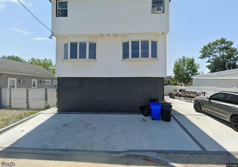
33 Dock Dr Freeport, NY 11520
Estimated Value: $646,000 - $680,662
Studio
1
Bath
1,992
Sq Ft
$333/Sq Ft
Est. Value
About This Home
This home is located at 33 Dock Dr, Freeport, NY 11520 and is currently estimated at $663,331, approximately $332 per square foot. 33 Dock Dr is a home located in Nassau County with nearby schools including Columbus Avenue School, Caroline G. Atkinson Intermediate School, and John W Dodd Middle School.
Ownership History
Date
Name
Owned For
Owner Type
Purchase Details
Closed on
Jul 1, 2022
Sold by
Lombardo Christopher and Tomeo Gabrielle
Bought by
Lombardo Christopher
Current Estimated Value
Purchase Details
Closed on
Jul 26, 2016
Sold by
Vournou Antonios
Bought by
Lombardo Christopher and Tomeo Gabrielle
Home Financials for this Owner
Home Financials are based on the most recent Mortgage that was taken out on this home.
Original Mortgage
$40,000
Interest Rate
3.48%
Mortgage Type
Purchase Money Mortgage
Purchase Details
Closed on
Jul 16, 2014
Sold by
Bresnahan Daniel S
Bought by
Housing Trust Fund Corporation
Purchase Details
Closed on
Oct 15, 2002
Sold by
Bresnahan Robert
Purchase Details
Closed on
Mar 22, 2002
Create a Home Valuation Report for This Property
The Home Valuation Report is an in-depth analysis detailing your home's value as well as a comparison with similar homes in the area
Home Values in the Area
Average Home Value in this Area
Purchase History
| Date | Buyer | Sale Price | Title Company |
|---|---|---|---|
| Lombardo Christopher | $75,000 | First American Title Ins Co | |
| Lombardo Christopher | $120,000 | First American Title Insuran | |
| Housing Trust Fund Corporation | $366,016 | -- | |
| -- | $218,000 | -- | |
| -- | -- | -- |
Source: Public Records
Mortgage History
| Date | Status | Borrower | Loan Amount |
|---|---|---|---|
| Previous Owner | Lombardo Christopher | $40,000 |
Source: Public Records
Tax History
| Year | Tax Paid | Tax Assessment Tax Assessment Total Assessment is a certain percentage of the fair market value that is determined by local assessors to be the total taxable value of land and additions on the property. | Land | Improvement |
|---|---|---|---|---|
| 2025 | $8,690 | $407 | $137 | $270 |
| 2024 | $954 | $431 | $145 | $286 |
| 2023 | $9,372 | $431 | $145 | $286 |
| 2022 | $9,372 | $431 | $145 | $286 |
| 2021 | $13,966 | $413 | $139 | $274 |
| 2020 | $18,377 | $641 | $624 | $17 |
| 2019 | $9,433 | $641 | $624 | $17 |
| 2018 | $9,282 | $641 | $0 | $0 |
| 2017 | $13,441 | $607 | $480 | $127 |
| 2016 | $15,328 | $607 | $480 | $127 |
| 2015 | $1,140 | $789 | $624 | $165 |
| 2014 | $1,140 | $789 | $624 | $165 |
| 2013 | $700 | $513 | $406 | $107 |
Source: Public Records
Map
Nearby Homes
- 47 Anchor St Unit Y
- 31 Anchor St Unit Y
- 77 Hampton Place
- 116 Westend Ave Unit 8
- 153 Westend Ave
- 525 Ray St
- 59 Hampton Place Unit 20D
- 14 Florence Ave Unit 25B
- 12 Florence Ave Unit 29A
- 210 Westend Ave Unit 8B
- 210 Westend Ave Unit 8A
- 8 Florence Ave Unit 16C
- 28 Florence Ave
- 1116 Washington Place
- 1108 Washington Place
- 1137 Washington Place
- 463 S Bayview Ave
- 2864 Eastern Blvd
- 1050 Hastings St
- 587 S Bayview Ave
- 33 Dock Dr
- 33 Dock Dr
- 31 Dock Dr
- 27 Dock Dr
- 136 Cary Place
- 134 Cary Place
- 128 Cary Place
- 23 Dock Dr
- 47 Anchor St Unit 47V
- 43 Anchor St Unit 43 P
- 35 Anchor St Unit A
- 43 Anchor St
- 47 Anchor St
- 35 Anchor St
- 43 Anchor St Unit S
- 35 Anchor St Unit B
- 35 Anchor St
- 35 Anchor St Unit 35A
- 43 Anchor St Unit N
- 39 Anchor St Unit K
Your Personal Tour Guide
Ask me questions while you tour the home.