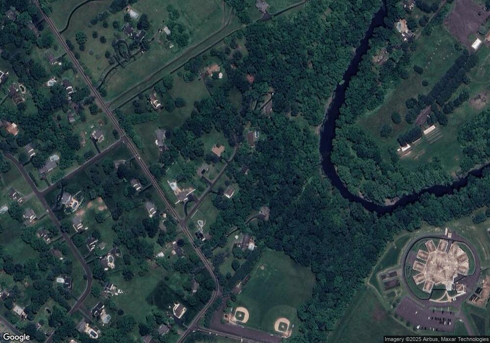
33 Doe Run Rd Warrington, PA 18976
Estimated Value: $427,933 - $506,000
2
Beds
2
Baths
1,176
Sq Ft
$393/Sq Ft
Est. Value
About This Home
This home is located at 33 Doe Run Rd, Warrington, PA 18976 and is currently estimated at $462,483, approximately $393 per square foot. 33 Doe Run Rd is a home located in Bucks County with nearby schools including Kutz Elementary School, Lenape Middle School, and Central Bucks High School-West.
Ownership History
Date
Name
Owned For
Owner Type
Purchase Details
Closed on
Nov 16, 1998
Sold by
Rogol Andrew K and Rogol Amy F
Bought by
Clayton Melissa L
Current Estimated Value
Home Financials for this Owner
Home Financials are based on the most recent Mortgage that was taken out on this home.
Original Mortgage
$121,850
Outstanding Balance
$26,737
Interest Rate
6.65%
Estimated Equity
$435,746
Purchase Details
Closed on
Dec 20, 1985
Bought by
Rogol Andrew K and Rogol Amy F
Create a Home Valuation Report for This Property
The Home Valuation Report is an in-depth analysis detailing your home's value as well as a comparison with similar homes in the area
Home Values in the Area
Average Home Value in this Area
Purchase History
| Date | Buyer | Sale Price | Title Company |
|---|---|---|---|
| Clayton Melissa L | $162,500 | T A Title Insurance Company | |
| Rogol Andrew K | $101,000 | -- |
Source: Public Records
Mortgage History
| Date | Status | Borrower | Loan Amount |
|---|---|---|---|
| Open | Clayton Melissa L | $121,850 |
Source: Public Records
Tax History Compared to Growth
Tax History
| Year | Tax Paid | Tax Assessment Tax Assessment Total Assessment is a certain percentage of the fair market value that is determined by local assessors to be the total taxable value of land and additions on the property. | Land | Improvement |
|---|---|---|---|---|
| 2025 | $4,035 | $22,800 | $6,360 | $16,440 |
| 2024 | $4,035 | $22,800 | $6,360 | $16,440 |
| 2023 | $3,847 | $22,800 | $6,360 | $16,440 |
| 2022 | $3,804 | $22,800 | $6,360 | $16,440 |
| 2021 | $3,726 | $22,800 | $6,360 | $16,440 |
| 2020 | $3,709 | $22,800 | $6,360 | $16,440 |
| 2019 | $3,669 | $22,800 | $6,360 | $16,440 |
| 2018 | $3,658 | $22,800 | $6,360 | $16,440 |
| 2017 | $3,629 | $22,800 | $6,360 | $16,440 |
| 2016 | $3,606 | $22,800 | $6,360 | $16,440 |
| 2015 | -- | $22,800 | $6,360 | $16,440 |
| 2014 | -- | $22,800 | $6,360 | $16,440 |
Source: Public Records
Map
Nearby Homes
- 60 Quarry Rd
- 612 Bethel Ln Unit THE ROOSEVELT PLAN
- 20 Woodstone Dr
- 125 Edison Furlong Rd
- 137 Wells Rd
- 82 Avalon Ct Unit 2005
- 1101 Deerfield Ln
- 100 Ginko St Unit 202
- 52 Tradesville Dr Unit 83
- Vetri Plan at Doylestown Walk
- 52 Tradesville Dr
- 45 Bedford Ave
- 2 Mill Creek Dr
- 2 Mill Creek Dr Unit 137
- 73 Tradesville Dr
- 73 Tradesville Dr Unit 80
- 6 Mill Creek Dr
- 47 Mill Creek Dr Unit 32
- 47 Mill Creek Dr
- 1 Mill Creek Dr
- 19 Doe Run Rd
- 37 Doe Run Rd
- 24 Doe Run Rd
- 16 Doe Run Rd
- 1073 Almshouse Rd
- 10 Doe Run Rd
- 39 Doe Run Rd
- 1063 Almshouse Rd
- 1075 Almshouse Rd
- 1023 Almshouse Rd
- 45 Doe Run Rd
- 1060 Almshouse Rd
- 1050 Almshouse Rd
- 1070 Almshouse Rd
- 1025 Almshouse Rd
- 1040 Almshouse Rd
- 1021 Almshouse Rd
- 1080 Turk Rd
- 1030 Almshouse Rd
- 1020 Pebble Crest Dr
