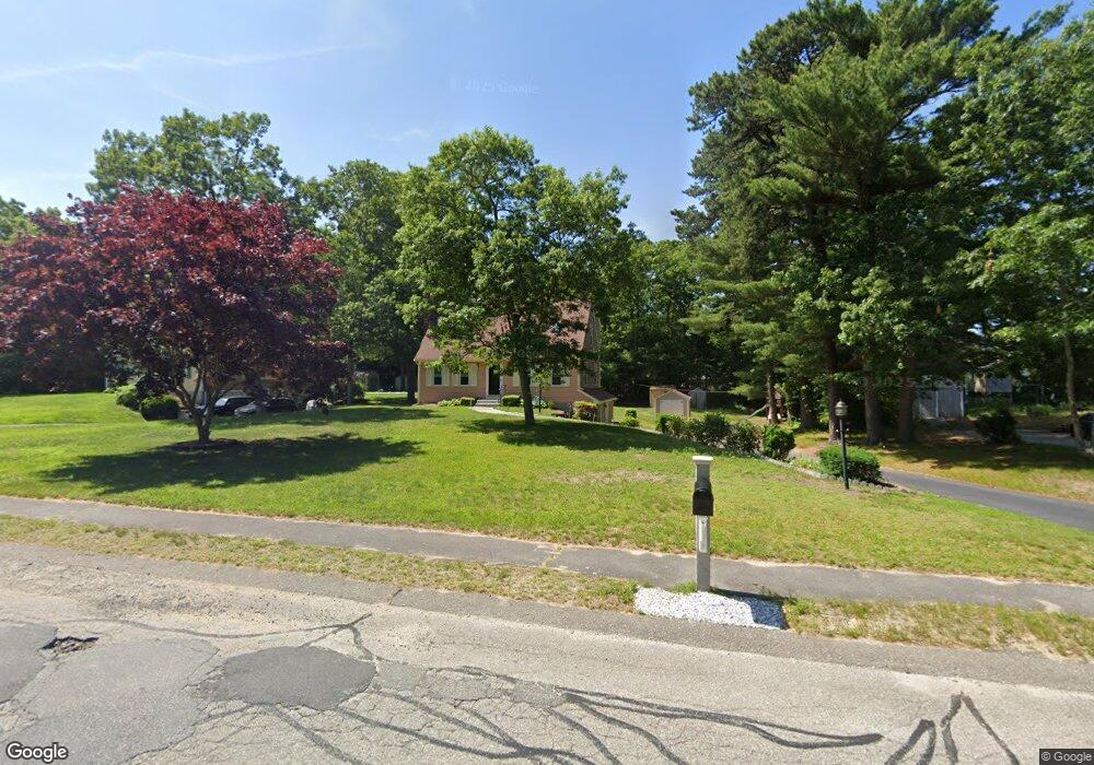
33 Donna Dr Plymouth, MA 02360
Estimated Value: $597,651 - $707,000
3
Beds
2
Baths
1,428
Sq Ft
$443/Sq Ft
Est. Value
About This Home
This home is located at 33 Donna Dr, Plymouth, MA 02360 and is currently estimated at $632,413, approximately $442 per square foot. 33 Donna Dr is a home located in Plymouth County with nearby schools including Indian Brook, Plymouth South Middle School, and Plymouth South High School.
Ownership History
Date
Name
Owned For
Owner Type
Purchase Details
Closed on
Apr 27, 2000
Sold by
Mahoney Gerard P and Duffy-Mahoney Marie C
Bought by
Lyle Steven C and Lyle Ruth C
Current Estimated Value
Purchase Details
Closed on
Jul 31, 1995
Sold by
Lovell Timothy A and Lovell Renee M
Bought by
Mahoney Gerard P and Duff-Mahoney Marie C
Purchase Details
Closed on
Nov 8, 1988
Sold by
Roland P Leary Co
Bought by
Lovell Timothy A
Create a Home Valuation Report for This Property
The Home Valuation Report is an in-depth analysis detailing your home's value as well as a comparison with similar homes in the area
Home Values in the Area
Average Home Value in this Area
Purchase History
| Date | Buyer | Sale Price | Title Company |
|---|---|---|---|
| Lyle Steven C | $184,000 | -- | |
| Mahoney Gerard P | $137,000 | -- | |
| Lovell Timothy A | $149,000 | -- |
Source: Public Records
Mortgage History
| Date | Status | Borrower | Loan Amount |
|---|---|---|---|
| Open | Lovell Timothy A | $203,500 | |
| Closed | Lovell Timothy A | $18,000 | |
| Closed | Lovell Timothy A | $200,000 |
Source: Public Records
Tax History Compared to Growth
Tax History
| Year | Tax Paid | Tax Assessment Tax Assessment Total Assessment is a certain percentage of the fair market value that is determined by local assessors to be the total taxable value of land and additions on the property. | Land | Improvement |
|---|---|---|---|---|
| 2025 | $6,521 | $513,900 | $236,700 | $277,200 |
| 2024 | $6,215 | $482,900 | $215,800 | $267,100 |
| 2023 | $6,053 | $441,500 | $194,000 | $247,500 |
| 2022 | $5,746 | $372,400 | $182,900 | $189,500 |
| 2021 | $5,574 | $344,900 | $182,900 | $162,000 |
| 2020 | $5,340 | $326,600 | $166,400 | $160,200 |
| 2019 | $5,240 | $316,800 | $155,400 | $161,400 |
| 2018 | $5,290 | $321,400 | $163,900 | $157,500 |
| 2017 | $4,934 | $297,600 | $157,400 | $140,200 |
| 2016 | $4,377 | $269,000 | $127,400 | $141,600 |
| 2015 | $4,028 | $259,200 | $116,400 | $142,800 |
| 2014 | $3,857 | $254,900 | $116,400 | $138,500 |
Source: Public Records
Map
Nearby Homes
- 3 Hiawatha Rd
- 115 Andrews Way
- 39 Miter Dr Unit 8-1
- 24 Drum Dr Unit 24
- 40 Drum Dr Unit 40
- 91 Miter Dr Unit 18-1
- 91 Miter Dr Unit 16-1
- 91 Miter Dr Unit 18-2
- 91 Miter Dr Unit 16-3
- The Hickory Plan at Alden's Reach - Attached & Detached Single Family Homes
- The Pine Plan at Alden's Reach - Attached & Detached Single Family Homes
- The Oak Plan at Alden's Reach - Attached & Detached Single Family Homes
- The Spruce Plan at Alden's Reach - Attached & Detached Single Family Homes
- 91 Miter Dr Unit 3-2
- 91 Miter Dr Unit 25-2
- 90 Miter Dr Unit 1-3
- 82 Miter Dr Unit 2-1
- 11 April Way
- 87 Miter Dr Unit 6-1
- 9 Kingston Rd