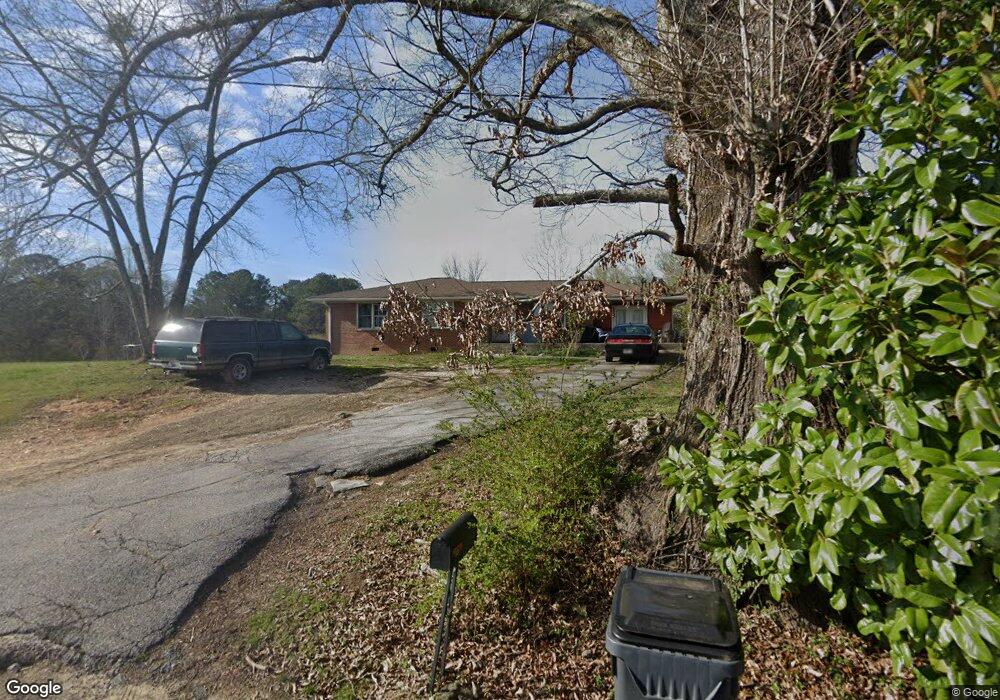
33 Dunson Rd Tallapoosa, GA 30176
Estimated Value: $240,000 - $264,000
3
Beds
2
Baths
1,581
Sq Ft
$158/Sq Ft
Est. Value
About This Home
This home is located at 33 Dunson Rd, Tallapoosa, GA 30176 and is currently estimated at $250,241, approximately $158 per square foot. 33 Dunson Rd is a home located in Haralson County with nearby schools including Haralson County High School.
Ownership History
Date
Name
Owned For
Owner Type
Purchase Details
Closed on
Nov 22, 1997
Sold by
Kent James B
Bought by
Berryman Arthur D
Current Estimated Value
Purchase Details
Closed on
Nov 19, 1997
Sold by
Berryman Arthur and Berryman Le
Bought by
Kent James B
Purchase Details
Closed on
Nov 1, 1985
Sold by
Berryman Arthur and Berryman Le
Bought by
Berryman Arthur and Berryman Le
Purchase Details
Closed on
Jul 1, 1983
Sold by
Berryman Lettie
Bought by
Berryman Arthur and Berryman Le
Create a Home Valuation Report for This Property
The Home Valuation Report is an in-depth analysis detailing your home's value as well as a comparison with similar homes in the area
Home Values in the Area
Average Home Value in this Area
Purchase History
| Date | Buyer | Sale Price | Title Company |
|---|---|---|---|
| Berryman Arthur D | $30,000 | -- | |
| Kent James B | -- | -- | |
| Berryman Arthur | $9,000 | -- | |
| Berryman Arthur | $3,200 | -- |
Source: Public Records
Tax History Compared to Growth
Tax History
| Year | Tax Paid | Tax Assessment Tax Assessment Total Assessment is a certain percentage of the fair market value that is determined by local assessors to be the total taxable value of land and additions on the property. | Land | Improvement |
|---|---|---|---|---|
| 2024 | $1,680 | $54,922 | $8,410 | $46,512 |
| 2023 | $544 | $40,326 | $8,410 | $31,917 |
| 2022 | $808 | $33,285 | $8,410 | $24,875 |
| 2021 | $802 | $31,744 | $8,410 | $23,334 |
| 2020 | $834 | $32,829 | $8,410 | $24,419 |
| 2019 | $849 | $32,246 | $8,410 | $23,836 |
| 2018 | $774 | $29,254 | $8,410 | $20,844 |
| 2017 | $796 | $27,584 | $8,410 | $19,174 |
| 2016 | $759 | $28,061 | $8,410 | $19,651 |
| 2015 | $745 | $27,421 | $8,410 | $19,012 |
| 2014 | $904 | $31,945 | $12,616 | $19,329 |
Source: Public Records
Map
Nearby Homes
- 421 Broad St
- 110 Dunson Rd
- 0 McDonald Ridge Unit 10657041
- 0 McDonald Ridge Unit 7691855
- 0 McDonald Ridge Unit 10657044
- 0 McDonald Ridge Unit 10656943
- 28 McDonald Ridge
- 75 McDonald Rd
- 000 McDonald Ridge
- 00 McDonald Ridge
- 194 Faye St
- 174 Faye St
- 80 Broad St
- 622 Cedartown Ave
- 200 Mohawk Dr
- 0 White St Unit 10638753
- 0 Creek Dr Unit 148038
- 0 Providence Lake Rd Unit 10576961
- 00 Bethany St
- 0 Bethany St Unit 10655598