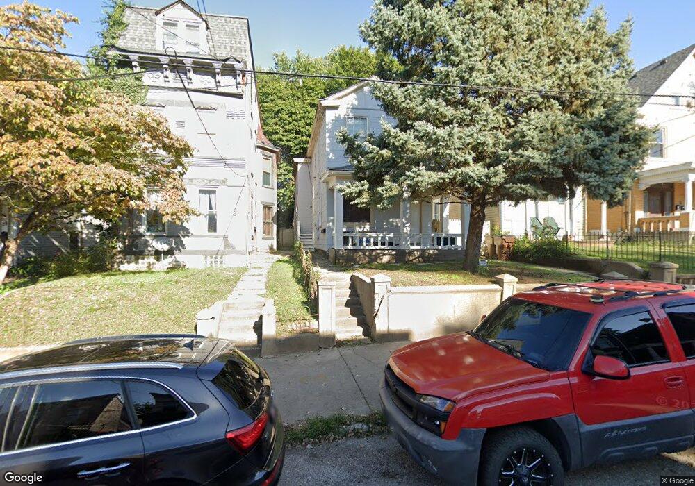
33 Euclid St Ludlow, KY 41016
Estimated Value: $193,000 - $271,000
3
Beds
2
Baths
2,191
Sq Ft
$107/Sq Ft
Est. Value
About This Home
This home is located at 33 Euclid St, Ludlow, KY 41016 and is currently estimated at $233,459, approximately $106 per square foot. 33 Euclid St is a home located in Kenton County with nearby schools including Mary A. Goetz Elementary School, Ludlow High School, and Prince of Peace School.
Ownership History
Date
Name
Owned For
Owner Type
Purchase Details
Closed on
Aug 30, 2017
Sold by
The Huntington National Bank
Bought by
Brumer Christopher and Brumer Penny
Current Estimated Value
Purchase Details
Closed on
Nov 14, 2016
Sold by
Daniels Charles W
Bought by
The Huntington National Bank
Purchase Details
Closed on
Mar 21, 2002
Sold by
Soward Walter E
Bought by
Daniels Charles W
Purchase Details
Closed on
Sep 11, 2000
Sold by
Campbell William
Bought by
Soward Walter R
Purchase Details
Closed on
Apr 9, 1999
Sold by
Soward Properties
Bought by
Soward Walter E
Purchase Details
Closed on
Oct 10, 1995
Sold by
Adams James
Bought by
Soward Timothy E and Soward Walter
Home Financials for this Owner
Home Financials are based on the most recent Mortgage that was taken out on this home.
Original Mortgage
$27,365
Interest Rate
7.83%
Mortgage Type
New Conventional
Create a Home Valuation Report for This Property
The Home Valuation Report is an in-depth analysis detailing your home's value as well as a comparison with similar homes in the area
Home Values in the Area
Average Home Value in this Area
Purchase History
| Date | Buyer | Sale Price | Title Company |
|---|---|---|---|
| Brumer Christopher | $27,000 | None Available | |
| The Huntington National Bank | $37,000 | None Available | |
| Daniels Charles W | $30,000 | -- | |
| Soward Walter R | $54,000 | -- | |
| Soward Walter E | $36,483 | -- | |
| Soward Timothy E | $26,600 | -- |
Source: Public Records
Mortgage History
| Date | Status | Borrower | Loan Amount |
|---|---|---|---|
| Previous Owner | Soward Timothy E | $27,365 |
Source: Public Records
Tax History Compared to Growth
Tax History
| Year | Tax Paid | Tax Assessment Tax Assessment Total Assessment is a certain percentage of the fair market value that is determined by local assessors to be the total taxable value of land and additions on the property. | Land | Improvement |
|---|---|---|---|---|
| 2025 | $1,306 | $100,000 | $10,000 | $90,000 |
| 2024 | $1,300 | $100,000 | $10,000 | $90,000 |
| 2023 | $1,287 | $100,000 | $10,000 | $90,000 |
| 2022 | $1,325 | $100,000 | $10,000 | $90,000 |
| 2021 | $1,049 | $70,000 | $10,000 | $60,000 |
| 2020 | $1,045 | $70,000 | $10,000 | $60,000 |
| 2019 | $1,040 | $70,000 | $10,000 | $60,000 |
| 2018 | $445 | $27,000 | $10,000 | $17,000 |
| 2017 | $1,020 | $70,000 | $10,000 | $60,000 |
| 2015 | $969 | $70,000 | $10,000 | $60,000 |
| 2014 | $931 | $70,000 | $10,000 | $60,000 |
Source: Public Records
Map
Nearby Homes
- 42 Euclid St
- 25 Kenner St
- 215 Oak St
- 438 Linden St
- 538 Station Dr Unit 39-101
- 518 Station Dr Unit 38-101
- 523 Linden St
- Griffith Plan at Cityview Station - Gallery II Collection
- 532 Station Dr Unit 39-300
- 530 Station Dr Unit 39-302
- 493 Station Dr Unit 62-200
- 483 Station Dr Unit 61-200
- 508 Station Dr Unit 38-102
- 408 Station Dr Unit 33-102
- 528 Station Dr Unit 39-102
- 483 Station Dr
- 510 Station Dr Unit 38-302
- 205 Junction Way
- 209 Junction Way
- 142 Highway Ave