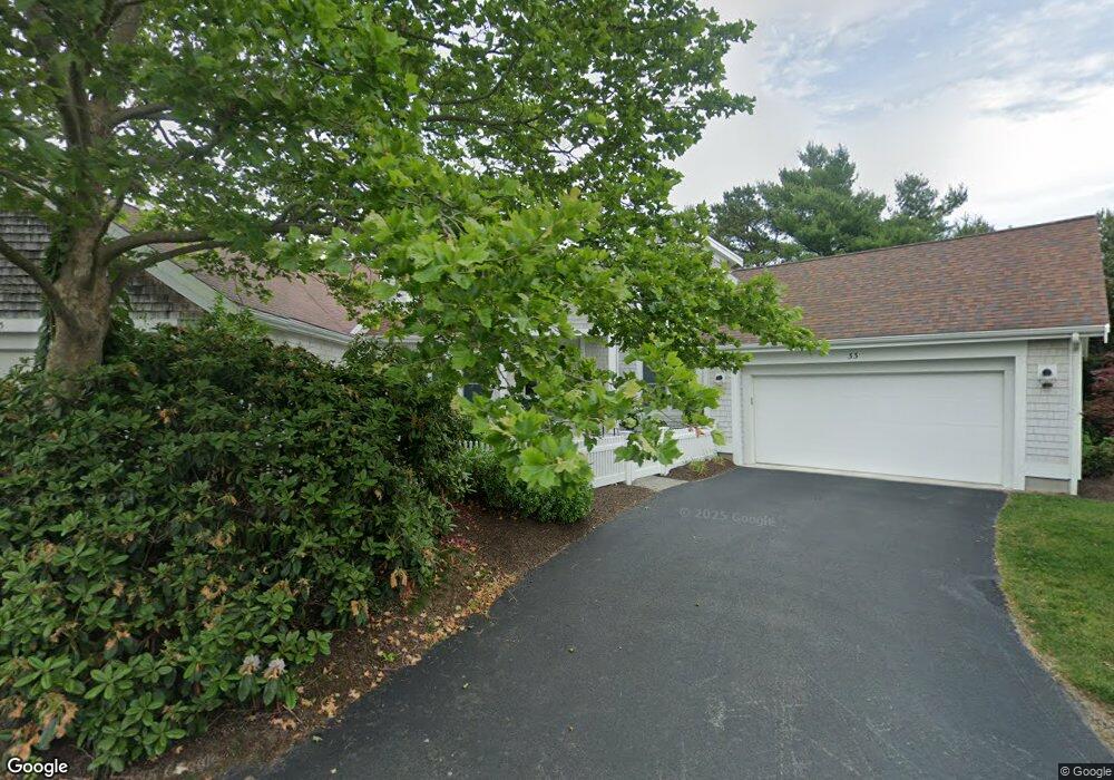
33 Forest Edge Unit . Plymouth, MA 02360
The Pinehills NeighborhoodEstimated Value: $1,061,723 - $1,096,000
2
Beds
3
Baths
2,462
Sq Ft
$440/Sq Ft
Est. Value
About This Home
This home is located at 33 Forest Edge Unit ., Plymouth, MA 02360 and is currently estimated at $1,082,931, approximately $439 per square foot. 33 Forest Edge Unit . is a home located in Plymouth County with nearby schools including Nathaniel Morton Elementary School, Plymouth Community Intermediate, and Plymouth North High School.
Ownership History
Date
Name
Owned For
Owner Type
Purchase Details
Closed on
Oct 30, 2020
Sold by
Winchester Ft
Bought by
Froment Lisa A and Ebinger Theresa F
Current Estimated Value
Purchase Details
Closed on
Dec 13, 2018
Sold by
Winchester David P and Winchester Margaret A
Bought by
Winchester Ft
Purchase Details
Closed on
Aug 14, 2015
Sold by
Harper Charles H and Harper Patricia A
Bought by
Winchester David P and Winchester Margaret A
Home Financials for this Owner
Home Financials are based on the most recent Mortgage that was taken out on this home.
Original Mortgage
$404,000
Interest Rate
4.08%
Mortgage Type
New Conventional
Purchase Details
Closed on
Jul 11, 2002
Sold by
Gp Pines Llc and Kurson Donald K
Bought by
Harper Charles H and Harper Patricia A
Create a Home Valuation Report for This Property
The Home Valuation Report is an in-depth analysis detailing your home's value as well as a comparison with similar homes in the area
Home Values in the Area
Average Home Value in this Area
Purchase History
| Date | Buyer | Sale Price | Title Company |
|---|---|---|---|
| Froment Lisa A | $710,000 | None Available | |
| Winchester Ft | -- | -- | |
| Winchester David P | $507,000 | -- | |
| Harper Charles H | $566,590 | -- |
Source: Public Records
Mortgage History
| Date | Status | Borrower | Loan Amount |
|---|---|---|---|
| Previous Owner | Winchester David P | $404,000 | |
| Previous Owner | Harper Charles H | $100,000 |
Source: Public Records
Tax History Compared to Growth
Tax History
| Year | Tax Paid | Tax Assessment Tax Assessment Total Assessment is a certain percentage of the fair market value that is determined by local assessors to be the total taxable value of land and additions on the property. | Land | Improvement |
|---|---|---|---|---|
| 2025 | $10,703 | $843,400 | $267,500 | $575,900 |
| 2024 | $10,263 | $797,400 | $253,500 | $543,900 |
| 2023 | $9,921 | $723,600 | $212,500 | $511,100 |
| 2022 | $9,628 | $624,000 | $201,800 | $422,200 |
| 2021 | $9,597 | $593,900 | $201,800 | $392,100 |
| 2020 | $9,113 | $557,400 | $196,800 | $360,600 |
| 2019 | $9,185 | $555,300 | $191,800 | $363,500 |
| 2018 | $9,106 | $553,200 | $186,800 | $366,400 |
| 2017 | $8,199 | $494,500 | $186,800 | $307,700 |
| 2016 | $8,091 | $497,300 | $186,800 | $310,500 |
| 2015 | $7,770 | $500,000 | $186,800 | $313,200 |
| 2014 | $7,427 | $490,900 | $186,800 | $304,100 |
Source: Public Records
Map
Nearby Homes
- 61 Bentgrass Mist Unit 61
- 59 Bentgrass Mist Unit 59
- 12 Stones Throw
- 48 Briarwood
- 68 Bentgrass Mist Unit 68
- 55 Bentgrass Mist Unit 55
- 10 Shutter Latch
- 19 Ludlow Trail
- 18 Great Kame
- 5 Morning Stroll
- 14 Barnswallow Ln
- 39 Woodsong
- 30 Broadleaf
- 12 Broadleaf
- 4 Broadleaf Unit 15
- 7 Broadleaf
- 7 Broadleaf Unit 3
- 15 Broadleaf
- 4 Broadleaf
- 10 Broadleaf
- 33 Forest Edge
- 35 Forest Edge
- 37 Forest Edge
- 21 Forest Edge
- 27 Forest Edge
- 23 Forest Edge
- 25 Forest Edge
- 29 Forest Edge
- 29 Forest Edge Unit 201
- 31 Forest Edge
- 49 Forest Edge
- 51 Forest Edge
- 51 Forest Edge Unit 51
- 53 Forest Edge
- 28 Forest Edge
- 50 Forest Edge
- 38 Forest Edge
- 36 Forest Edge
- 34 Forest Edge
- 55 Forest Edge