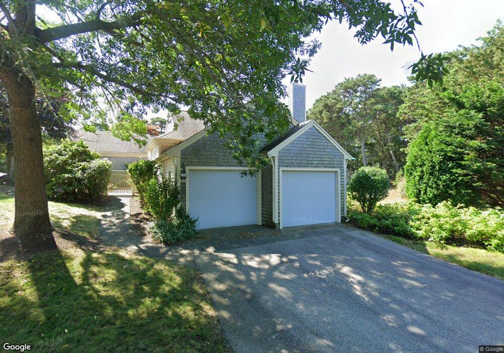
33 Forest Gate Yarmouth Port, MA 02675
Yarmouth Port NeighborhoodEstimated Value: $648,000 - $809,689
2
Beds
4
Baths
1,801
Sq Ft
$408/Sq Ft
Est. Value
About This Home
This home is located at 33 Forest Gate, Yarmouth Port, MA 02675 and is currently estimated at $734,672, approximately $407 per square foot. 33 Forest Gate is a home located in Barnstable County with nearby schools including Dennis-Yarmouth Regional High School.
Ownership History
Date
Name
Owned For
Owner Type
Purchase Details
Closed on
Sep 30, 2025
Sold by
Helen P Hinckley T P and Helen Hinckley
Bought by
Mrc Rt and Coville
Current Estimated Value
Home Financials for this Owner
Home Financials are based on the most recent Mortgage that was taken out on this home.
Original Mortgage
$548,000
Outstanding Balance
$547,551
Interest Rate
7%
Mortgage Type
New Conventional
Estimated Equity
$187,121
Purchase Details
Closed on
Dec 6, 2021
Sold by
Hinckley Helen P
Bought by
Helen P Hinckley T P and Helen Hinckley
Purchase Details
Closed on
Aug 19, 2014
Sold by
Berna M Butler T M and Berna Butler
Bought by
Hinckley Helen P
Purchase Details
Closed on
Jan 22, 2001
Sold by
Hinckley Helen P
Bought by
Carens R Richard R and Carens Jeanne E
Purchase Details
Closed on
Jun 6, 1995
Sold by
Kings Way Prop Rt and Valle
Bought by
Hinckley Helen P
Create a Home Valuation Report for This Property
The Home Valuation Report is an in-depth analysis detailing your home's value as well as a comparison with similar homes in the area
Home Values in the Area
Average Home Value in this Area
Purchase History
| Date | Buyer | Sale Price | Title Company |
|---|---|---|---|
| Mrc Rt | $685,000 | -- | |
| Helen P Hinckley T P | -- | None Available | |
| Hinckley Helen P | $385,000 | -- | |
| Hinckley Helen P | $385,000 | -- | |
| Carens R Richard R | $425,000 | -- | |
| Carens R Richard | $425,000 | -- | |
| Hinckley Helen P | $229,500 | -- |
Source: Public Records
Mortgage History
| Date | Status | Borrower | Loan Amount |
|---|---|---|---|
| Open | Mrc Rt | $548,000 |
Source: Public Records
Tax History Compared to Growth
Tax History
| Year | Tax Paid | Tax Assessment Tax Assessment Total Assessment is a certain percentage of the fair market value that is determined by local assessors to be the total taxable value of land and additions on the property. | Land | Improvement |
|---|---|---|---|---|
| 2025 | $5,646 | $797,400 | $0 | $797,400 |
| 2024 | $6,150 | $833,300 | $0 | $833,300 |
| 2023 | $4,435 | $546,800 | $0 | $546,800 |
| 2022 | $4,259 | $463,900 | $0 | $463,900 |
| 2021 | $4,721 | $493,800 | $0 | $493,800 |
| 2020 | $5,006 | $500,600 | $0 | $500,600 |
| 2019 | $4,695 | $464,900 | $0 | $464,900 |
| 2018 | $4,784 | $464,900 | $0 | $464,900 |
| 2017 | $4,300 | $429,100 | $0 | $429,100 |
| 2016 | $4,105 | $411,300 | $0 | $411,300 |
| 2015 | $3,880 | $386,500 | $0 | $386,500 |
Source: Public Records
Map
Nearby Homes
- 30 W Woods Cir Unit 30
- 30 W Woods
- 158 Kates Path
- 2 Pine Grove
- 28 Oak Glen
- 25 Oak Glen Village Unit 25
- 25 Oak Glen
- 17 Kates Path Unit A
- 228 Kates Path
- 19 John Hall Cartway Unit E
- 19 John Halls Cartpath Village Unit E
- 50 John Hall Cartway
- 50 John Hall Cartway Unit 50
- 64 Kates Path
- 42 John Hall Cartway Unit 42
- 43 Canterbury Rd
- 21 Boxwood Cir
- 17 Nottingham Dr
- 44 Stratford Ln
- 800 Route 6a
- 31 Forest Gate
- 29 Forest Gate
- 31 Forest Gate Unit G
- 27 Forest Gate
- 25 Forest Gate
- 40 Forest Gate
- 38 Forest Gate
- 36 Forest Gate
- 40 Forest Gate Unit 40
- 38 Forest Gate Unit G
- 40 Forest Gate Unit H
- 34 Forest Gate
- 32 Forest Gate
- 34 Forest Gate Unit 34
- 34 Forest Gate Unit H
- 32 Forest Gate Unit D
- 23 Forest Gate
- 21 Forest Gate
- 19 Forest Gate
- 21 Forest Gate Unit 21