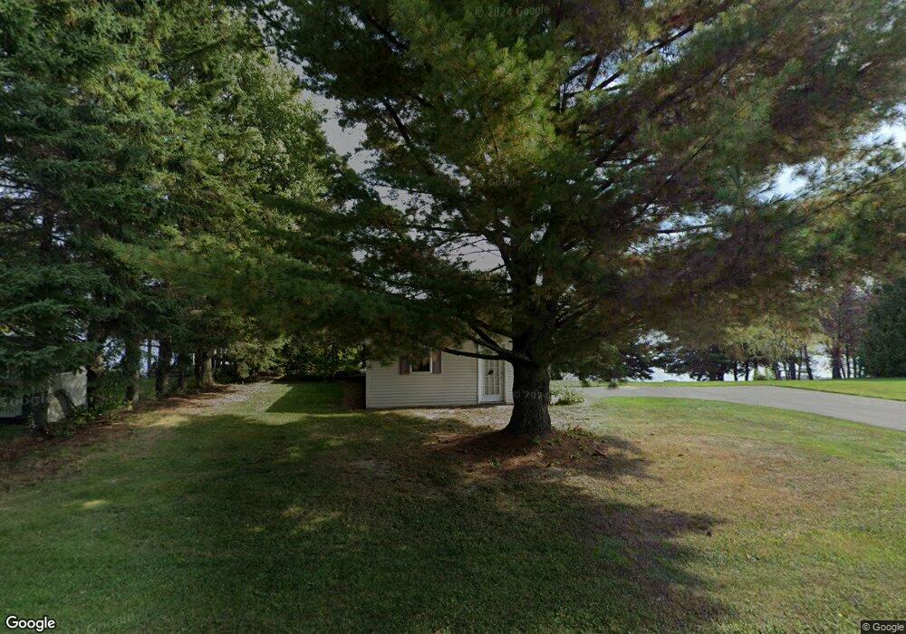
33 Furlong Rd Eagle Lake, ME 04739
Estimated Value: $180,000 - $341,000
2
Beds
2
Baths
851
Sq Ft
$308/Sq Ft
Est. Value
About This Home
This home is located at 33 Furlong Rd, Eagle Lake, ME 04739 and is currently estimated at $262,449, approximately $308 per square foot. 33 Furlong Rd is a home located in Aroostook County with nearby schools including Fort Kent Elementary School and Valley Rivers Middle School.
Ownership History
Date
Name
Owned For
Owner Type
Purchase Details
Closed on
Jun 2, 2021
Sold by
Boyle Michelle M
Bought by
Rcc2 Maine Corp
Current Estimated Value
Home Financials for this Owner
Home Financials are based on the most recent Mortgage that was taken out on this home.
Original Mortgage
$133,650
Outstanding Balance
$121,003
Interest Rate
2.9%
Mortgage Type
Purchase Money Mortgage
Estimated Equity
$141,446
Purchase Details
Closed on
Jul 8, 2014
Sold by
Eagle Lake Town Of
Bought by
Boyle Michelle
Purchase Details
Closed on
May 21, 2014
Sold by
Theriault Nathan A
Bought by
Boyle Michelle M
Purchase Details
Closed on
Nov 9, 2007
Sold by
Martino Edward and Martino Frances
Bought by
Theriault Nathan A
Create a Home Valuation Report for This Property
The Home Valuation Report is an in-depth analysis detailing your home's value as well as a comparison with similar homes in the area
Home Values in the Area
Average Home Value in this Area
Purchase History
| Date | Buyer | Sale Price | Title Company |
|---|---|---|---|
| Rcc2 Maine Corp | -- | None Available | |
| Boyle Michelle | -- | -- | |
| Boyle Michelle M | -- | -- | |
| Theriault Nathan A | -- | -- |
Source: Public Records
Mortgage History
| Date | Status | Borrower | Loan Amount |
|---|---|---|---|
| Open | Rcc2 Maine Corp | $133,650 |
Source: Public Records
Tax History Compared to Growth
Tax History
| Year | Tax Paid | Tax Assessment Tax Assessment Total Assessment is a certain percentage of the fair market value that is determined by local assessors to be the total taxable value of land and additions on the property. | Land | Improvement |
|---|---|---|---|---|
| 2021 | $2,544 | $158,200 | $82,900 | $75,300 |
| 2020 | $2,550 | $158,400 | $82,900 | $75,500 |
| 2019 | $2,661 | $158,400 | $82,900 | $75,500 |
| 2017 | $2,731 | $158,800 | $82,900 | $75,900 |
| 2016 | $2,573 | $158,800 | $82,900 | $75,900 |
| 2015 | $2,584 | $156,600 | $82,900 | $73,700 |
| 2014 | $2,566 | $166,100 | $92,400 | $73,700 |
Source: Public Records
Map
Nearby Homes
- 45 Dennis St
- 149 Old Main St
- 3259 Aroostook Rd
- Lot 8 Convent Rd
- 22 Laferriere
- 2774 Aroostook Rd
- 000 Pelletier Ln
- 1873 Sly Brook Rd
- 44 Martin Ln
- 1545 Sly Brook Rd
- 1449 Sly Brook Rd
- 29 Pinkham Ln
- 13 S Brook Ln
- Map2Lot7 Aroostook Rd
- 4197 Aroostook Rd
- M2-L23 Quimby Rd
- 23 Quimby Rd
- 1 Maynard Way
- 1951 Aroostook Rd
- 4721 Aroostook Rd