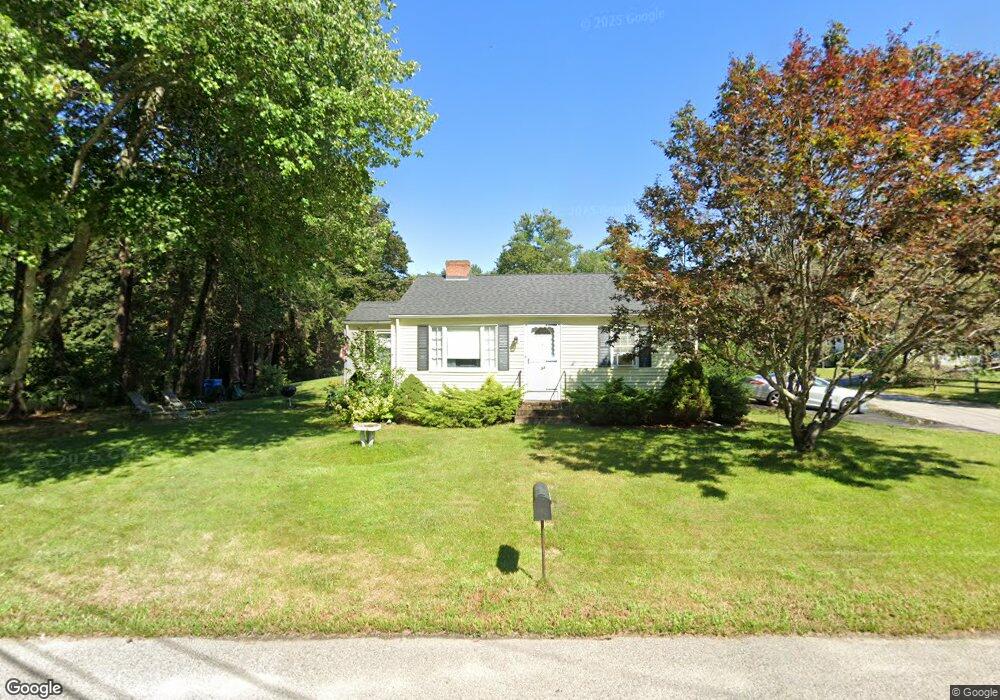
33 Geordan Ave Wrentham, MA 02093
Estimated Value: $416,000 - $508,000
2
Beds
1
Bath
840
Sq Ft
$552/Sq Ft
Est. Value
About This Home
This home is located at 33 Geordan Ave, Wrentham, MA 02093 and is currently estimated at $463,497, approximately $551 per square foot. 33 Geordan Ave is a home located in Norfolk County with nearby schools including Delaney Elementary School and Charles E Roderick.
Ownership History
Date
Name
Owned For
Owner Type
Purchase Details
Closed on
May 2, 2005
Sold by
Hollenback William
Bought by
Hollenback Doreen A and Mcdavitt Jeffrey A
Current Estimated Value
Home Financials for this Owner
Home Financials are based on the most recent Mortgage that was taken out on this home.
Original Mortgage
$100,000
Outstanding Balance
$52,509
Interest Rate
5.95%
Mortgage Type
Purchase Money Mortgage
Estimated Equity
$410,988
Create a Home Valuation Report for This Property
The Home Valuation Report is an in-depth analysis detailing your home's value as well as a comparison with similar homes in the area
Home Values in the Area
Average Home Value in this Area
Purchase History
| Date | Buyer | Sale Price | Title Company |
|---|---|---|---|
| Hollenback Doreen A | $130,000 | -- |
Source: Public Records
Mortgage History
| Date | Status | Borrower | Loan Amount |
|---|---|---|---|
| Open | Hollenback Doreen A | $100,000 |
Source: Public Records
Tax History Compared to Growth
Tax History
| Year | Tax Paid | Tax Assessment Tax Assessment Total Assessment is a certain percentage of the fair market value that is determined by local assessors to be the total taxable value of land and additions on the property. | Land | Improvement |
|---|---|---|---|---|
| 2025 | $5,003 | $431,700 | $263,100 | $168,600 |
| 2024 | $4,652 | $387,700 | $263,100 | $124,600 |
| 2023 | $4,331 | $343,200 | $239,200 | $104,000 |
| 2022 | $4,380 | $320,400 | $223,200 | $97,200 |
| 2021 | $4,044 | $287,400 | $194,800 | $92,600 |
| 2020 | $3,788 | $265,800 | $173,200 | $92,600 |
| 2019 | $3,527 | $249,800 | $158,800 | $91,000 |
| 2018 | $3,607 | $253,300 | $159,100 | $94,200 |
| 2017 | $3,423 | $240,200 | $156,000 | $84,200 |
| 2016 | $3,343 | $234,100 | $151,500 | $82,600 |
| 2015 | $3,234 | $215,900 | $145,600 | $70,300 |
| 2014 | $3,203 | $209,200 | $140,100 | $69,100 |
Source: Public Records
Map
Nearby Homes
- 270 Dedham St
- 1 Lorraine Metcalf Dr
- 362 East St
- 25 Foxboro Rd
- 10 W Birch Rd
- 0 W Birch Rd
- 65 Pond St
- 3 Oak Rd
- 71 Pond St
- 10 Nature View Dr
- 15 Nature View Dr
- 246 Forest Grove Ave
- 7 Hill St Unit 10
- 20 Valley St Unit 20
- 11 Goodwin Dr
- 45 King St
- 2 Diamond St
- 319 Taunton St
- 38 Robin Rd
- 131 Creek St Unit 7
- 50 Geordan Ave
- 59 Geordan Ave
- 34 Geordan Ave
- 42 Geordan Ave
- 60 Geordan Ave
- 24 Geordan Ave
- 17 Geordan Ave
- 66 Geordan Ave
- 12 Geordan Ave
- 9 Geordan Ave
- 53 Chamberlain Dr
- 470 Dedham St
- 474 Dedham St
- 194 Winter St
- 170 Winter St
- 25 Charles Samuel Way
- 162 Winter St
- 154 Winter St
- 75 Geordan Ave
- 181 Winter St