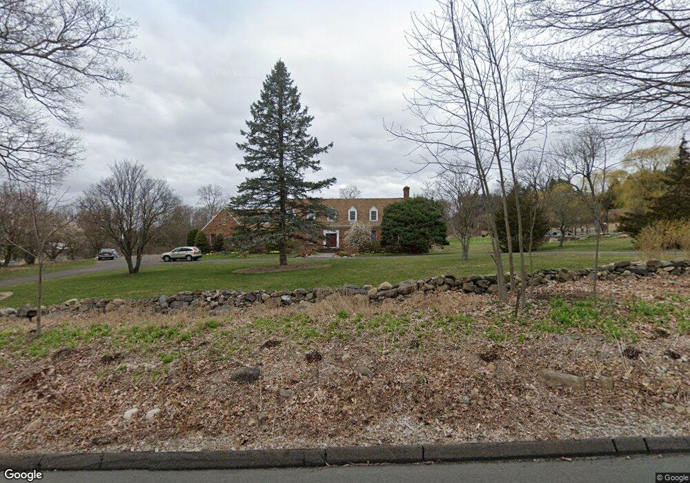
33 Giles Hill Rd Redding, CT 06896
Estimated Value: $1,291,862 - $1,888,000
4
Beds
3
Baths
4,302
Sq Ft
$369/Sq Ft
Est. Value
About This Home
This home is located at 33 Giles Hill Rd, Redding, CT 06896 and is currently estimated at $1,588,216, approximately $369 per square foot. 33 Giles Hill Rd is a home located in Fairfield County with nearby schools including Redding Elementary School, John Read Middle School, and Joel Barlow High School.
Ownership History
Date
Name
Owned For
Owner Type
Purchase Details
Closed on
Oct 18, 1996
Sold by
Renard David M Est
Bought by
Wasko Brian G and Wasko Phylis R
Current Estimated Value
Create a Home Valuation Report for This Property
The Home Valuation Report is an in-depth analysis detailing your home's value as well as a comparison with similar homes in the area
Home Values in the Area
Average Home Value in this Area
Purchase History
| Date | Buyer | Sale Price | Title Company |
|---|---|---|---|
| Wasko Brian G | $578,000 | -- |
Source: Public Records
Mortgage History
| Date | Status | Borrower | Loan Amount |
|---|---|---|---|
| Open | Wasko Brian G | $250,000 | |
| Closed | Wasko Brian G | $286,000 | |
| Closed | Wasko Brian G | $50,000 | |
| Closed | Wasko Brian G | $362,000 |
Source: Public Records
Tax History Compared to Growth
Tax History
| Year | Tax Paid | Tax Assessment Tax Assessment Total Assessment is a certain percentage of the fair market value that is determined by local assessors to be the total taxable value of land and additions on the property. | Land | Improvement |
|---|---|---|---|---|
| 2025 | $23,487 | $795,100 | $209,300 | $585,800 |
| 2024 | $22,835 | $795,100 | $209,300 | $585,800 |
| 2023 | $22,016 | $795,100 | $209,300 | $585,800 |
| 2022 | $18,944 | $568,200 | $223,900 | $344,300 |
| 2021 | $18,660 | $568,200 | $223,900 | $344,300 |
| 2020 | $3,900 | $568,200 | $223,900 | $344,300 |
| 2019 | $3,900 | $568,200 | $223,900 | $344,300 |
| 2018 | $18,023 | $568,200 | $223,900 | $344,300 |
| 2017 | $3,863 | $637,400 | $267,500 | $369,900 |
| 2016 | $18,638 | $637,400 | $267,500 | $369,900 |
| 2015 | $18,427 | $637,400 | $267,500 | $369,900 |
| 2014 | $18,427 | $637,400 | $267,500 | $369,900 |
Source: Public Records
Map
Nearby Homes
- 15 Tunxis Trail
- 280 Newtown Turnpike
- 41 Sullivan Dr
- 56 Cross Hwy
- 16 Black Rock Turnpike
- 241 Black Rock Turnpike
- 22 Lonetown Rd
- 10 Shady Ln
- 477 Newtown Turnpike
- 45 Great Pasture Rd
- 2 Longwood Dr
- 27 W Woodland Dr
- 235 Rock House Rd
- 90 Old Stagecoach Rd
- 28 Sunnyview Dr
- 4 Orchard Dr
- 294 Maple Rd
- 82 Rock House Rd
- 492 Newtown Turnpike
- 22 Ledgewood Rd
- 29 Giles Hill Rd
- 44 Giles Hill Rd
- 23 Giles Hill Rd
- 43 Giles Hill Rd
- 41 Giles Hill Rd
- 328 Newtown Turnpike
- 326 Newtown Turnpike
- 330 Newtown Turnpike
- 61 Giles Hill Rd
- 10 Longmeadow Ln
- 334 Newtown Turnpike
- 324 Newtown Turnpike
- 8 Longmeadow Ln
- 336 Newtown Turnpike
- 13 Longmeadow Ln
- 17 Giles Hill Rd
- 340 Newtown Turnpike
- 57 Giles Hill Rd
- 315 Newtown Turnpike
- 338 Newtown Turnpike