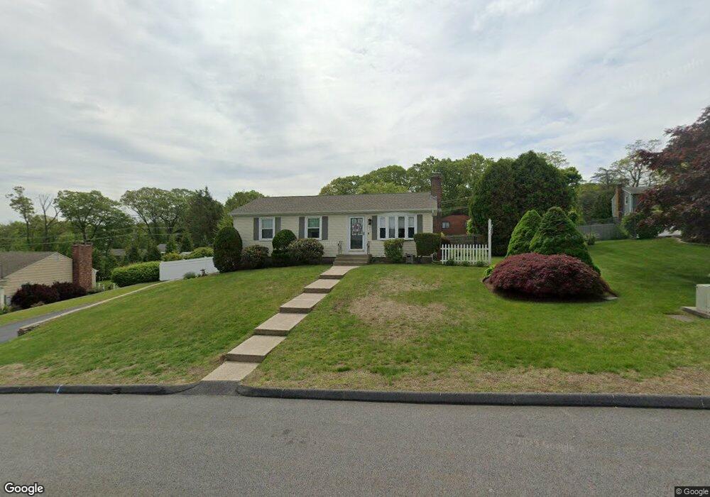
33 Greenbriar Rd West Warwick, RI 02893
West Warwick Centre NeighborhoodEstimated Value: $404,000 - $484,000
3
Beds
2
Baths
1,348
Sq Ft
$331/Sq Ft
Est. Value
About This Home
This home is located at 33 Greenbriar Rd, West Warwick, RI 02893 and is currently estimated at $445,741, approximately $330 per square foot. 33 Greenbriar Rd is a home located in Kent County with nearby schools including West Warwick High School, Islamic School of Rhode Island, and St Joseph School.
Ownership History
Date
Name
Owned For
Owner Type
Purchase Details
Closed on
Jul 1, 1998
Sold by
Hayden David J
Bought by
Caires Ann Marie
Current Estimated Value
Purchase Details
Closed on
Sep 24, 1990
Sold by
Hayden John
Bought by
Hayden David
Create a Home Valuation Report for This Property
The Home Valuation Report is an in-depth analysis detailing your home's value as well as a comparison with similar homes in the area
Home Values in the Area
Average Home Value in this Area
Purchase History
| Date | Buyer | Sale Price | Title Company |
|---|---|---|---|
| Caires Ann Marie | $107,500 | -- | |
| Hayden David | $120,000 | -- |
Source: Public Records
Mortgage History
| Date | Status | Borrower | Loan Amount |
|---|---|---|---|
| Open | Hayden David | $100,000 | |
| Closed | Hayden David | $28,000 | |
| Closed | Hayden David | $95,000 | |
| Closed | Hayden David | $60,000 |
Source: Public Records
Tax History Compared to Growth
Tax History
| Year | Tax Paid | Tax Assessment Tax Assessment Total Assessment is a certain percentage of the fair market value that is determined by local assessors to be the total taxable value of land and additions on the property. | Land | Improvement |
|---|---|---|---|---|
| 2025 | $5,242 | $366,800 | $115,700 | $251,100 |
| 2024 | $5,056 | $270,500 | $82,800 | $187,700 |
| 2023 | $4,956 | $270,500 | $82,800 | $187,700 |
| 2022 | $4,880 | $270,500 | $82,800 | $187,700 |
| 2021 | $4,490 | $195,200 | $61,200 | $134,000 |
| 2020 | $4,490 | $195,200 | $61,200 | $134,000 |
| 2019 | $5,723 | $195,200 | $61,200 | $134,000 |
| 2018 | $3,903 | $143,600 | $50,300 | $93,300 |
| 2017 | $3,778 | $143,600 | $50,300 | $93,300 |
| 2016 | $3,711 | $143,600 | $50,300 | $93,300 |
| 2015 | $3,546 | $136,600 | $50,300 | $86,300 |
| 2014 | $3,468 | $136,600 | $50,300 | $86,300 |
Source: Public Records
Map
Nearby Homes
- 351 New London Ave Unit 408
- 66 Tanglewood Dr
- 231 Providence St
- 61 Lafayette St
- 81 Sophia Dr
- 16 Hilltop Ave
- 9 Carr's Ln
- 7 Carr's Ln
- 5 Carr's Ln
- 8 Carr's Ln
- 1008 Toll Gate Rd
- 81 W Valley Cir
- 65 Border St
- 202 River Farms Dr
- 1060 Main St
- 979 Tollgate Unit 31 Rd
- 32 Sykes St
- 12 Earl St
- 10 Renehan Ct
- 25 Eddy St
- 27 Greenbriar Rd
- 316 New London Ave
- 322 New London Ave
- 21 Greenbriar Rd
- 28 Greenbriar Rd
- 310 New London Ave
- 22 Greenbriar Rd
- 315 New London Ave
- 328 New London Ave
- 304 New London Ave
- 9 Mark Fore Dr
- 334 New London Ave
- 34 Greenbriar Rd
- 45 Morningside Dr
- 15 Greenbriar Rd
- 4 Mark Fore Dr
- 298 New London Ave
- 63 Morningside Dr
- 311 New London Ave
- 0 New London Ave