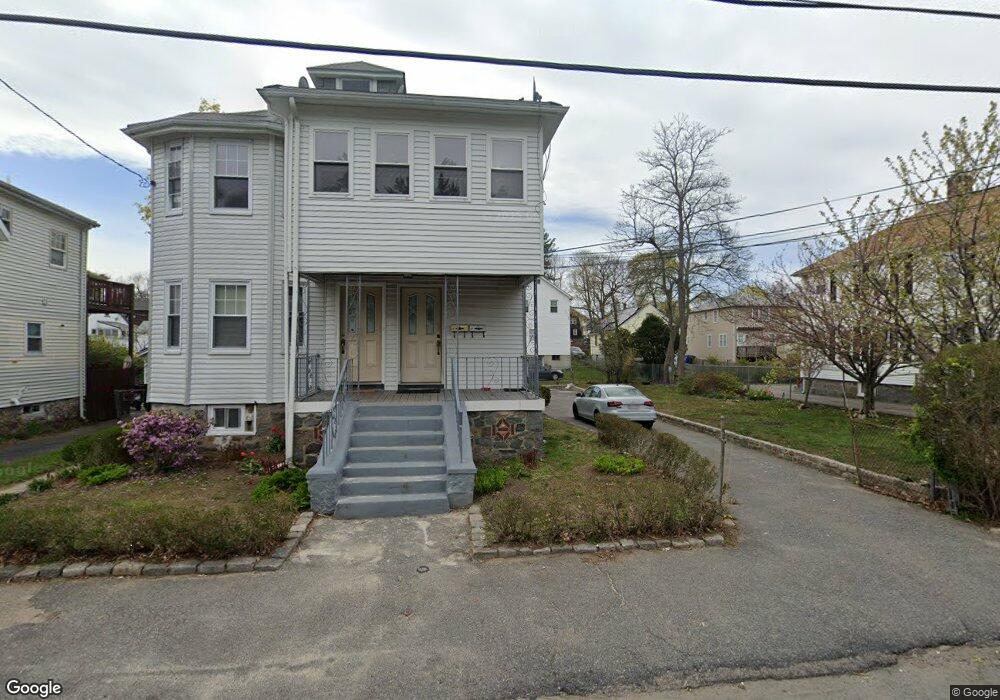
33 Harmon St Unit 1 Mattapan, MA 02126
Southern Mattapan NeighborhoodEstimated Value: $684,273 - $828,000
3
Beds
1
Bath
1,500
Sq Ft
$509/Sq Ft
Est. Value
About This Home
This home is located at 33 Harmon St Unit 1, Mattapan, MA 02126 and is currently estimated at $763,568, approximately $509 per square foot. 33 Harmon St Unit 1 is a home located in Suffolk County with nearby schools including KIPP Academy Boston Charter School and Berea Seventh-day Adventist Academy.
Ownership History
Date
Name
Owned For
Owner Type
Purchase Details
Closed on
Nov 20, 2008
Sold by
Blake Denovan L
Bought by
Blake Janet A
Current Estimated Value
Purchase Details
Closed on
Sep 26, 2007
Sold by
Blake Denovan L
Bought by
Blake Denovan L and Blake Janet A
Create a Home Valuation Report for This Property
The Home Valuation Report is an in-depth analysis detailing your home's value as well as a comparison with similar homes in the area
Home Values in the Area
Average Home Value in this Area
Purchase History
| Date | Buyer | Sale Price | Title Company |
|---|---|---|---|
| Blake Janet A | -- | -- | |
| Blake Denovan L | -- | -- |
Source: Public Records
Tax History Compared to Growth
Tax History
| Year | Tax Paid | Tax Assessment Tax Assessment Total Assessment is a certain percentage of the fair market value that is determined by local assessors to be the total taxable value of land and additions on the property. | Land | Improvement |
|---|---|---|---|---|
| 2025 | $6,789 | $586,300 | $177,200 | $409,100 |
| 2024 | $6,234 | $571,900 | $157,900 | $414,000 |
| 2023 | $5,794 | $539,500 | $148,900 | $390,600 |
| 2022 | $5,870 | $539,500 | $148,900 | $390,600 |
| 2021 | $5,234 | $490,500 | $135,400 | $355,100 |
| 2020 | $4,442 | $420,600 | $131,200 | $289,400 |
| 2019 | $4,106 | $389,600 | $94,900 | $294,700 |
| 2018 | $3,647 | $348,000 | $94,900 | $253,100 |
| 2017 | $3,543 | $334,600 | $94,900 | $239,700 |
| 2016 | $3,346 | $304,200 | $94,900 | $209,300 |
| 2015 | $3,157 | $260,700 | $93,200 | $167,500 |
| 2014 | $3,037 | $241,400 | $93,200 | $148,200 |
Source: Public Records
Map
Nearby Homes
- 839-843 Cummins Hwy
- 770 Cummins Hwy Unit 1
- 770 Cummins Hwy Unit 22
- 34 Ridlon Rd
- 90 Hollingsworth St
- 10 Brockton St
- 231 Itasca St
- 23 Caton St
- 48-50 Rockdale St
- 25 Alpine St Unit 7
- 95 Woodhaven St
- 7 Winborough St
- 645 River St
- 265 Hebron St
- 179 Hebron St
- 0 Tina Ave
- 72 Livermore St
- 20 Massasoit St
- 100 Itasca St
- 20 Monterey Ave
- 33 Harmon St Unit 35
- 27 Harmon St Unit 27A
- 39 Harmon St
- 25 Harmon St
- 46 Rockingham Rd
- 48 Rockingham Rd
- 44 Rockingham Rd
- 43 Harmon St
- 43 Harmon St Unit 2
- 50 Rockingham Rd
- 42 Rockingham Rd
- 23 Harmon St
- 36 Harmon St
- 40 Harmon St
- 34 Harmon St
- 34 Harmon St Unit 1
- 34 Harmon St Unit 2
- 40 Rockingham Rd
- 21 Harmon St
- 30 Harmon St