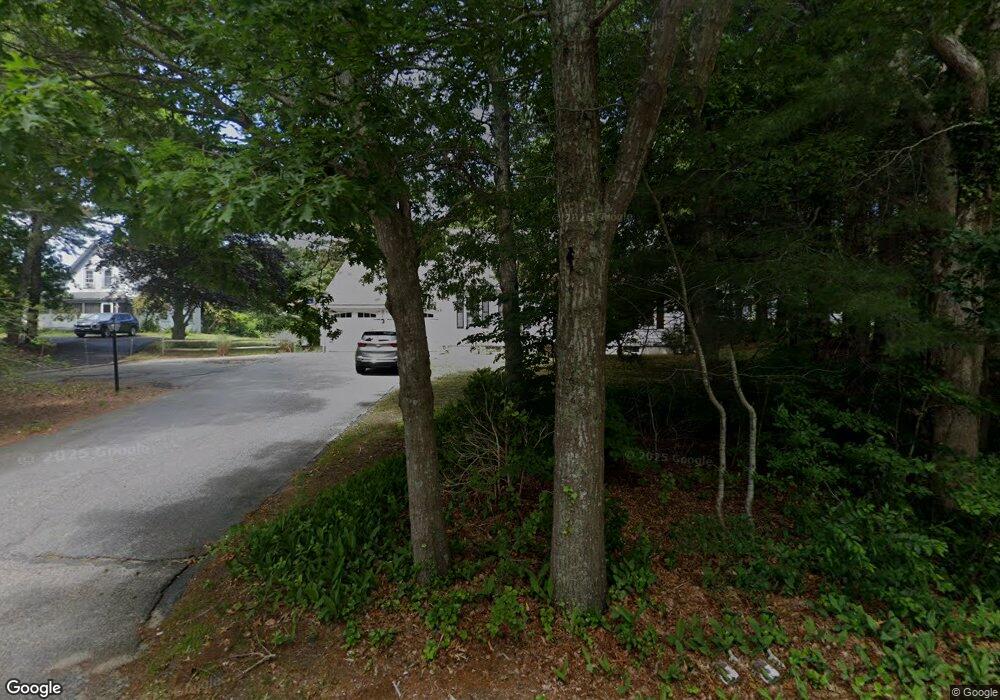
33 Head of The Bay Rd Buzzards Bay, MA 02532
Buzzards Bay NeighborhoodEstimated Value: $603,000 - $810,000
5
Beds
2
Baths
2,340
Sq Ft
$288/Sq Ft
Est. Value
About This Home
This home is located at 33 Head of The Bay Rd, Buzzards Bay, MA 02532 and is currently estimated at $673,323, approximately $287 per square foot. 33 Head of The Bay Rd is a home located in Barnstable County with nearby schools including Bourne High School, St Margaret Regional School, and Cadence Academy Preschool - Bourne.
Ownership History
Date
Name
Owned For
Owner Type
Purchase Details
Closed on
Sep 11, 2024
Sold by
Fisher Raymond R and Fisher Patricia R
Bought by
Fisher Ft and Fisher
Current Estimated Value
Purchase Details
Closed on
Jan 24, 2018
Sold by
Fisher Raymond R and Fisher Patricia R
Bought by
Fisher Raymond R and Fisher Patricia R
Purchase Details
Closed on
Mar 23, 1973
Bought by
Fisher Raymond R and Fisher Patricia R
Create a Home Valuation Report for This Property
The Home Valuation Report is an in-depth analysis detailing your home's value as well as a comparison with similar homes in the area
Home Values in the Area
Average Home Value in this Area
Purchase History
| Date | Buyer | Sale Price | Title Company |
|---|---|---|---|
| Fisher Ft | -- | None Available | |
| Fisher Ft | -- | None Available | |
| Fisher Ft | -- | None Available | |
| Fisher Raymond R | -- | -- | |
| Fisher Raymond R | -- | -- | |
| Fisher Raymond R | -- | -- | |
| Fisher Raymond R | -- | -- | |
| Fisher Raymond R | -- | -- | |
| Fisher Raymond R | -- | -- |
Source: Public Records
Tax History Compared to Growth
Tax History
| Year | Tax Paid | Tax Assessment Tax Assessment Total Assessment is a certain percentage of the fair market value that is determined by local assessors to be the total taxable value of land and additions on the property. | Land | Improvement |
|---|---|---|---|---|
| 2025 | $4,189 | $536,400 | $155,400 | $381,000 |
| 2024 | $4,097 | $510,800 | $148,000 | $362,800 |
| 2023 | $3,982 | $452,000 | $131,000 | $321,000 |
| 2022 | $3,692 | $365,900 | $130,400 | $235,500 |
| 2021 | $3,587 | $333,100 | $118,700 | $214,400 |
| 2020 | $3,477 | $323,700 | $117,600 | $206,100 |
| 2019 | $3,309 | $314,800 | $117,600 | $197,200 |
| 2018 | $3,160 | $299,800 | $112,000 | $187,800 |
| 2017 | $3,029 | $294,100 | $123,200 | $170,900 |
| 2016 | $2,705 | $266,200 | $98,600 | $167,600 |
| 2015 | $2,681 | $266,200 | $98,600 | $167,600 |
Source: Public Records
Map
Nearby Homes
- 162 Puritan Rd
- 171 Puritan Rd
- 304 Main St
- 17 Maple St
- 4 Knob Ln
- 38 Old Bridge Rd
- 41 Lewis Point Rd
- 0 Lewis Point Rd
- 46 Holt Rd
- 46 Holt Rd Unit A
- 65 Lewis Point Rd
- 73 Lewis Point Rd
- 90-92 Sandwich Rd Unit 9C
- 151 - 153 Main St
- 23 Settlers Way
- 60 Sandwich Rd
- 90-92 Sandwich Rd Unit 2
- 34 Washington Ave
- 3 Wolf Rd
- 44 Cotuit Rd
- 29-31 Head of The Bay Rd
- 25 Head of The Bay Rd
- 37 Head of The Bay Rd
- 25 Head of The Bay Rd
- 39 Head of The Bay Rd
- 35R Head of The Bay Rd
- 35 Head of The Bay Rd
- 27 Head of The Bay Rd
- 24 Head of The Bay Rd
- 43 Head of The Bay Rd
- 43 Head of The Bay Rd
- 41 Head of The Bay Rd
- 22 Head of The Bay Rd
- 22 Head of The Bay Rd Unit D
- 22 Head of The Bay Rd
- 23 Head of The Bay Rd
- 4 Finch Ln
- 4 Finch Ln
- 67 Maple St
- 73 Maple St