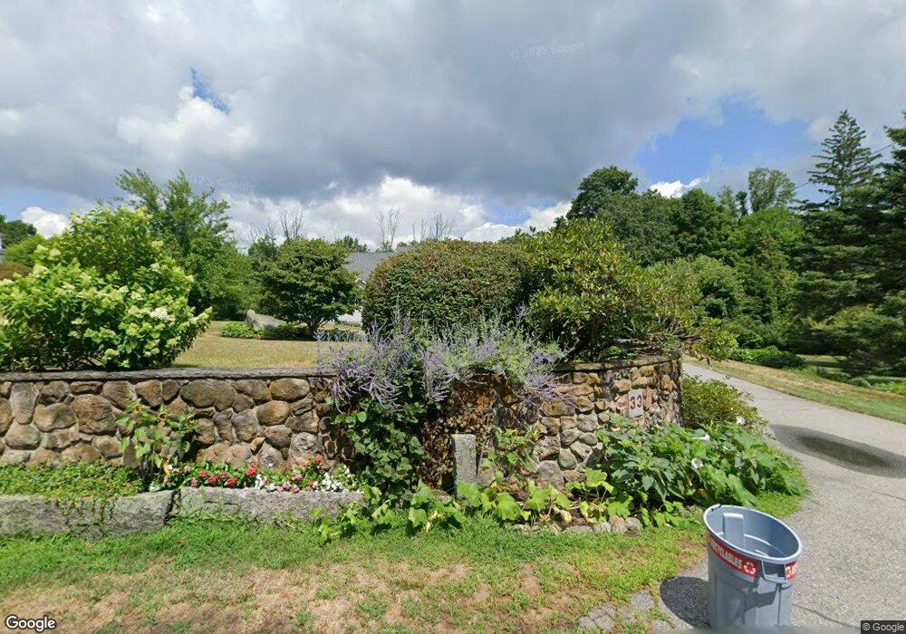
33 High St Chelmsford, MA 01824
Robin Hill NeighborhoodEstimated Value: $752,000 - $796,000
3
Beds
2
Baths
1,578
Sq Ft
$490/Sq Ft
Est. Value
About This Home
This home is located at 33 High St, Chelmsford, MA 01824 and is currently estimated at $773,945, approximately $490 per square foot. 33 High St is a home located in Middlesex County with nearby schools including Byam Elementary School, Parker Middle School, and Chelmsford High School.
Ownership History
Date
Name
Owned For
Owner Type
Purchase Details
Closed on
Sep 14, 2007
Sold by
Sullivan Ann-Catherine and Sullivan Brian R
Bought by
Sullivan Kevin S and Sullivan Patricia K
Current Estimated Value
Home Financials for this Owner
Home Financials are based on the most recent Mortgage that was taken out on this home.
Original Mortgage
$200,000
Interest Rate
6.7%
Mortgage Type
Purchase Money Mortgage
Create a Home Valuation Report for This Property
The Home Valuation Report is an in-depth analysis detailing your home's value as well as a comparison with similar homes in the area
Home Values in the Area
Average Home Value in this Area
Purchase History
| Date | Buyer | Sale Price | Title Company |
|---|---|---|---|
| Sullivan Kevin S | $414,000 | -- | |
| Sullivan Kevin S | $414,000 | -- |
Source: Public Records
Mortgage History
| Date | Status | Borrower | Loan Amount |
|---|---|---|---|
| Closed | Sullivan Kevin S | $314,000 | |
| Closed | Sullivan Kevin S | $347,900 | |
| Closed | Sullivan Kevin S | $20,500 | |
| Closed | Sullivan Kevin S | $200,000 |
Source: Public Records
Tax History
| Year | Tax Paid | Tax Assessment Tax Assessment Total Assessment is a certain percentage of the fair market value that is determined by local assessors to be the total taxable value of land and additions on the property. | Land | Improvement |
|---|---|---|---|---|
| 2025 | $10,432 | $750,500 | $363,900 | $386,600 |
| 2024 | $10,233 | $751,300 | $363,900 | $387,400 |
| 2023 | $9,864 | $686,400 | $391,000 | $295,400 |
| 2022 | $9,599 | $608,700 | $328,900 | $279,800 |
| 2021 | $8,699 | $552,700 | $301,800 | $250,900 |
| 2020 | $9,075 | $551,700 | $267,300 | $284,400 |
| 2019 | $8,719 | $533,300 | $264,500 | $268,800 |
| 2018 | $11,363 | $632,700 | $238,300 | $394,400 |
| 2017 | $10,822 | $603,900 | $223,100 | $380,800 |
| 2016 | $7,807 | $433,000 | $221,700 | $211,300 |
| 2015 | $7,553 | $403,900 | $201,500 | $202,400 |
| 2014 | $7,286 | $383,900 | $190,000 | $193,900 |
Source: Public Records
Map
Nearby Homes
- 9 Acton Rd Unit 6
- 9 Acton Rd Unit 10
- 9 Acton Rd Unit 8
- 6 Sinai Cir Unit C
- 8 Perham St
- 34 Clover Hill Dr
- 109 Westford St
- 1 Rosemary Ln
- 189 Littleton Rd Unit 59
- 37 Scotty Hollow Dr Unit B
- 19 Lantern Ln
- 8 Flint St
- 40 Linwood St
- 21 Fairbanks Rd
- 143 Pine Hill Rd
- 243 Riverneck Rd
- 262 Littleton Rd Unit 14
- 243 Mason Ave
- 215 Chelmsford St Unit 18
- 6 Starlight Ave
Your Personal Tour Guide
Ask me questions while you tour the home.