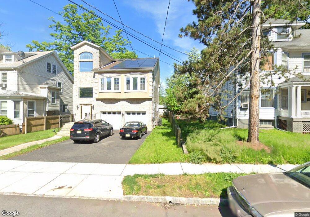
33 High St Orange, NJ 07050
Estimated Value: $282,000 - $347,000
Studio
--
Bath
545
Sq Ft
$586/Sq Ft
Est. Value
About This Home
This home is located at 33 High St, Orange, NJ 07050 and is currently estimated at $319,304, approximately $585 per square foot. 33 High St is a home located in Essex County.
Ownership History
Date
Name
Owned For
Owner Type
Purchase Details
Closed on
Jan 27, 2020
Sold by
Piatnitskaia Natalia
Bought by
Rosarlo Deabad Teodora Antonia
Current Estimated Value
Home Financials for this Owner
Home Financials are based on the most recent Mortgage that was taken out on this home.
Original Mortgage
$209,620
Interest Rate
3.3%
Mortgage Type
New Conventional
Purchase Details
Closed on
Jun 6, 2001
Sold by
Investors Savings Bank
Bought by
Hunter Roland
Home Financials for this Owner
Home Financials are based on the most recent Mortgage that was taken out on this home.
Original Mortgage
$68,800
Interest Rate
7.14%
Purchase Details
Closed on
Sep 9, 1994
Sold by
Pham Long
Bought by
Cotton Constance
Home Financials for this Owner
Home Financials are based on the most recent Mortgage that was taken out on this home.
Original Mortgage
$68,000
Interest Rate
8.56%
Create a Home Valuation Report for This Property
The Home Valuation Report is an in-depth analysis detailing your home's value as well as a comparison with similar homes in the area
Home Values in the Area
Average Home Value in this Area
Purchase History
| Date | Buyer | Sale Price | Title Company |
|---|---|---|---|
| Rosarlo Deabad Teodora Antonia | $223,000 | Cornerstone Ttl & Setmnt Llc | |
| Hunter Roland | $71,000 | -- | |
| Cotton Constance | $72,000 | -- |
Source: Public Records
Mortgage History
| Date | Status | Borrower | Loan Amount |
|---|---|---|---|
| Previous Owner | Rosarlo Deabad Teodora Antonia | $209,620 | |
| Previous Owner | Hunter Roland | $68,800 | |
| Previous Owner | Cotton Constance | $68,000 |
Source: Public Records
Tax History
| Year | Tax Paid | Tax Assessment Tax Assessment Total Assessment is a certain percentage of the fair market value that is determined by local assessors to be the total taxable value of land and additions on the property. | Land | Improvement |
|---|---|---|---|---|
| 2025 | $7,320 | $187,200 | $47,500 | $139,700 |
| 2024 | $6,977 | $187,200 | $47,500 | $139,700 |
| 2022 | $6,488 | $187,200 | $47,500 | $139,700 |
| 2021 | $8,982 | $155,400 | $45,000 | $110,400 |
| 2020 | $6,044 | $107,800 | $45,000 | $62,800 |
| 2019 | $5,730 | $107,800 | $45,000 | $62,800 |
| 2018 | $5,638 | $107,800 | $45,000 | $62,800 |
| 2017 | $5,250 | $107,800 | $45,000 | $62,800 |
| 2016 | $5,151 | $107,800 | $45,000 | $62,800 |
| 2015 | $5,016 | $107,800 | $45,000 | $62,800 |
| 2014 | $4,796 | $107,800 | $45,000 | $62,800 |
Source: Public Records
Map
Nearby Homes
- 81 High St
- 401 White St
- 70 N Essex Ave
- 120 N Essex Ave
- 162 Summer St
- 350 Park Ave
- 449 Park Ave
- 148 N Essex Ave
- 52 Lincoln Ave Unit 303
- 52 Lincoln Ave Unit 302
- 309 Park Ave
- 328 Hawthorne St
- 237 Cleveland St
- 29 White St
- 261 Park Ave
- 414 Mechanic St
- 271 Mount Vernon Ave
- 107 Main St
- 159 Lincoln Ave
- 483 Cary St
Your Personal Tour Guide
Ask me questions while you tour the home.