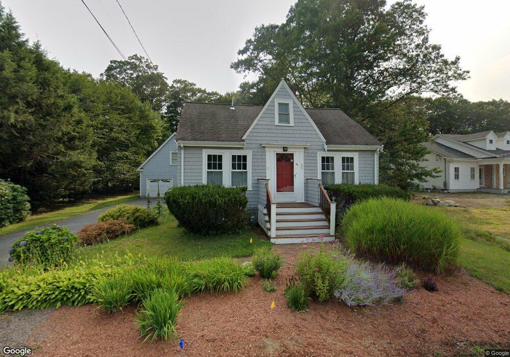
33 Holliston St Medway, MA 02053
Estimated Value: $621,312 - $709,000
4
Beds
2
Baths
2,150
Sq Ft
$316/Sq Ft
Est. Value
About This Home
This home is located at 33 Holliston St, Medway, MA 02053 and is currently estimated at $678,328, approximately $315 per square foot. 33 Holliston St is a home located in Norfolk County with nearby schools including John D. McGovern Elementary School, Burke-Memorial Elementary, and Medway Middle School.
Ownership History
Date
Name
Owned For
Owner Type
Purchase Details
Closed on
Jun 13, 2024
Sold by
Price Naomi E and Price Stephen
Bought by
Naomi E Price Lt and Price
Current Estimated Value
Purchase Details
Closed on
Feb 27, 1987
Sold by
Black John E
Bought by
Hutt Frederick C
Home Financials for this Owner
Home Financials are based on the most recent Mortgage that was taken out on this home.
Original Mortgage
$121,500
Interest Rate
9.19%
Mortgage Type
Purchase Money Mortgage
Create a Home Valuation Report for This Property
The Home Valuation Report is an in-depth analysis detailing your home's value as well as a comparison with similar homes in the area
Home Values in the Area
Average Home Value in this Area
Purchase History
| Date | Buyer | Sale Price | Title Company |
|---|---|---|---|
| Naomi E Price Lt | -- | None Available | |
| Naomi E Price Lt | -- | None Available | |
| Hutt Frederick C | $135,000 | -- |
Source: Public Records
Mortgage History
| Date | Status | Borrower | Loan Amount |
|---|---|---|---|
| Previous Owner | Hutt Frederick C | $98,000 | |
| Previous Owner | Hutt Frederick C | $121,500 |
Source: Public Records
Tax History Compared to Growth
Tax History
| Year | Tax Paid | Tax Assessment Tax Assessment Total Assessment is a certain percentage of the fair market value that is determined by local assessors to be the total taxable value of land and additions on the property. | Land | Improvement |
|---|---|---|---|---|
| 2025 | $7,326 | $514,100 | $266,700 | $247,400 |
| 2024 | $7,403 | $514,100 | $266,700 | $247,400 |
| 2023 | $7,296 | $457,700 | $229,800 | $227,900 |
| 2022 | $7,349 | $434,100 | $205,200 | $228,900 |
| 2021 | $7,021 | $402,100 | $184,700 | $217,400 |
| 2020 | $6,613 | $377,900 | $164,100 | $213,800 |
| 2019 | $6,413 | $377,900 | $164,100 | $213,800 |
| 2018 | $6,280 | $355,600 | $143,600 | $212,000 |
| 2017 | $6,093 | $340,000 | $133,400 | $206,600 |
| 2016 | $6,067 | $335,000 | $128,400 | $206,600 |
| 2015 | $4,303 | $235,900 | $121,000 | $114,900 |
| 2014 | $4,448 | $236,100 | $118,300 | $117,800 |
Source: Public Records
Map
Nearby Homes
- 20 Broad St Unit 6
- 20 Broad St Unit A
- 20 Broad St Unit 4
- 14 Sanford St Unit 15
- 9 Sanford St
- 50 Main St
- 280 Village St Unit D2
- 3 Meryl St
- 22 Sunset Dr
- 4 Shaw St
- 841 Lincoln St
- 106 Holliston St
- 7 Gloucester Dr
- 12 Lovering St
- 0 Elm St
- 14 Heritage Dr
- 56 Fuller Place
- 36 Lovering St
- 28 Wellington St
- 2 Skyline Dr
- 1 Fuller Brook Rd
- 4 Fuller Brook Rd
- 3 Fuller Brook Rd
- 37 Holliston St
- 29 Holliston St
- 32 Holliston St
- 32A Holliston St
- 34 Holliston St
- 5 Fuller Brook Rd
- 39 Holliston St
- 30 Holliston St
- 25 Holliston St
- 36 Holliston St
- 36 Holliston St Unit 1
- 28 Holliston St
- 38 Holliston St
- 41 Holliston St
- 21 Lovers Ln
- 3 Ridge Rd
- 19 Lovers Ln