33 Hopkins Rd Plymouth, MA 02360
Estimated Value: $729,000 - $789,000
3
Beds
3
Baths
2,292
Sq Ft
$332/Sq Ft
Est. Value
About This Home
This home is located at 33 Hopkins Rd, Plymouth, MA 02360 and is currently estimated at $761,760, approximately $332 per square foot. 33 Hopkins Rd is a home located in Plymouth County with nearby schools including Federal Furnace Elementary School, Plymouth Community Intermediate, and Plymouth North High School.
Ownership History
Date
Name
Owned For
Owner Type
Purchase Details
Closed on
Jul 21, 2015
Sold by
Millette 3Rd Edward W
Bought by
Ewm 3 Ret
Current Estimated Value
Purchase Details
Closed on
Feb 25, 2015
Sold by
Millette 3Rd Edward W and Schneider Susanne H
Bought by
Millette 3Rd Edward W
Purchase Details
Closed on
Oct 27, 2000
Sold by
Conrod Deborah C
Bought by
Millette Edward W
Home Financials for this Owner
Home Financials are based on the most recent Mortgage that was taken out on this home.
Original Mortgage
$160,000
Interest Rate
7.83%
Mortgage Type
Purchase Money Mortgage
Purchase Details
Closed on
Aug 31, 1987
Sold by
Landry Charles S
Bought by
Conrod Michael F
Create a Home Valuation Report for This Property
The Home Valuation Report is an in-depth analysis detailing your home's value as well as a comparison with similar homes in the area
Home Values in the Area
Average Home Value in this Area
Purchase History
| Date | Buyer | Sale Price | Title Company |
|---|---|---|---|
| Ewm 3 Ret | -- | -- | |
| Ewm 3 Ret | -- | -- | |
| Millette 3Rd Edward W | -- | -- | |
| Millette 3Rd Edward W | -- | -- | |
| Millette Edward W | $202,000 | -- | |
| Millette Edward W | $202,000 | -- | |
| Conrod Michael F | $179,900 | -- |
Source: Public Records
Mortgage History
| Date | Status | Borrower | Loan Amount |
|---|---|---|---|
| Previous Owner | Conrod Michael F | $46,000 | |
| Previous Owner | Conrod Michael F | $160,000 |
Source: Public Records
Tax History Compared to Growth
Tax History
| Year | Tax Paid | Tax Assessment Tax Assessment Total Assessment is a certain percentage of the fair market value that is determined by local assessors to be the total taxable value of land and additions on the property. | Land | Improvement |
|---|---|---|---|---|
| 2025 | $8,242 | $649,500 | $293,600 | $355,900 |
| 2024 | $7,977 | $619,800 | $279,200 | $340,600 |
| 2023 | $7,732 | $564,000 | $255,200 | $308,800 |
| 2022 | $7,189 | $465,900 | $230,400 | $235,500 |
| 2021 | $7,275 | $450,200 | $230,400 | $219,800 |
| 2020 | $7,153 | $437,500 | $218,400 | $219,100 |
| 2019 | $6,862 | $414,900 | $194,400 | $220,500 |
| 2018 | $6,620 | $402,200 | $182,400 | $219,800 |
| 2017 | $6,314 | $380,800 | $182,400 | $198,400 |
| 2016 | $5,943 | $365,300 | $176,400 | $188,900 |
| 2015 | $5,602 | $360,500 | $170,400 | $190,100 |
| 2014 | -- | $354,500 | $170,400 | $184,100 |
Source: Public Records
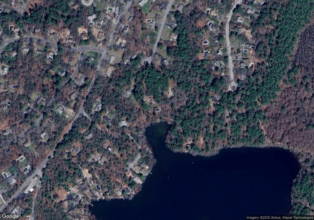
Map
Nearby Homes
- 16 Jan Marie Dr
- 7 W Hill Rd
- 5 Marc Dr Unit 1
- 5 Marc Dr Unit 5
- 5 Marc Dr Unit 8
- 2 Marc Dr Unit 2B2
- 4 Marc Dr Unit 4B3
- 3 Winter Hollow
- 62 Jan Marie Dr
- 198 Samoset St
- 178 Black Cat Rd
- 116 Pilgrim Trail
- 230 Summer St
- 0 Nathaniel St
- 21 Chapel Hill Dr Unit 3
- 16 Filmore St
- 144 Industrial Park Rd
- 7 Chapel Hill Dr Unit 11
- 9 Chapel Hill Dr Unit 2
- 17 Chapel Hill Dr Unit 3
- 30 Hopkins Rd
- 22 Dunham Rd
- 31 Hopkins Rd
- 31 Hopkins Rd
- 14 Dunham Rd
- 26 Dunham Rd
- 33 Sleepy Hollow Dr
- 33R Sleepy Hollow Dr
- 8 Dunham Rd
- 27 Hopkins Rd
- 26 Hopkins Rd
- 30 Dunham Rd
- 2 Dunham Rd
- 40 Federal Furnace Rd
- 15 Dunham Rd
- 15 Dunham Rd
- 15 Dunham Rd Unit 1
- 32 Dunham Rd
- 38 Federal Furnace Rd
- 13 Barker Rd