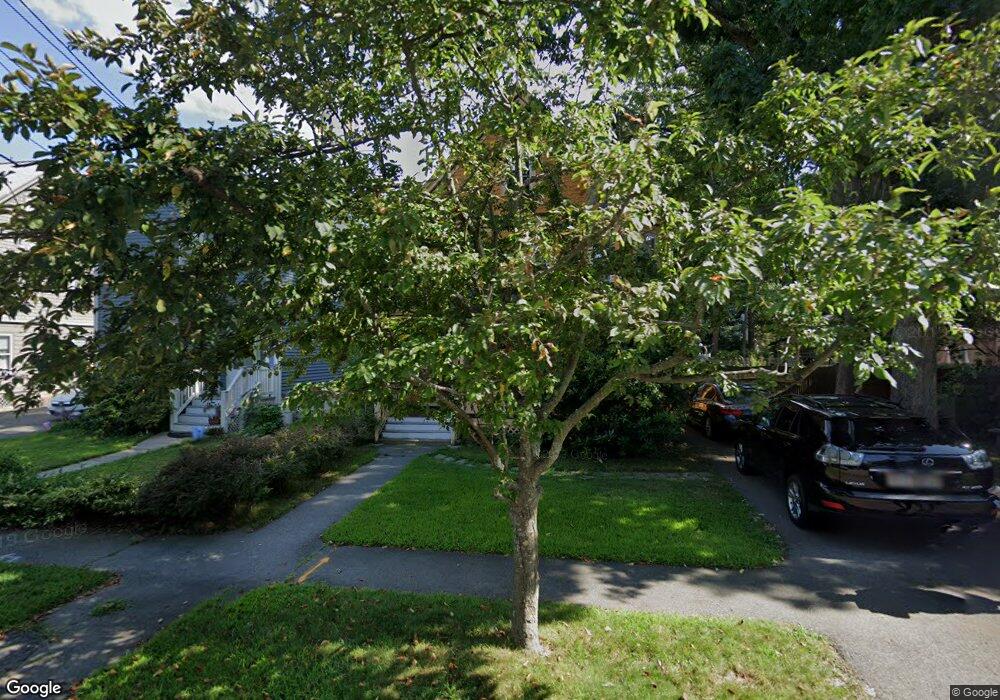
33 Houston Ave Milton, MA 02186
Milton Center NeighborhoodEstimated Value: $789,000 - $983,000
4
Beds
1
Bath
1,730
Sq Ft
$506/Sq Ft
Est. Value
About This Home
This home is located at 33 Houston Ave, Milton, MA 02186 and is currently estimated at $875,523, approximately $506 per square foot. 33 Houston Ave is a home located in Norfolk County with nearby schools including Milton High School, KIPP Academy Boston Charter School, and St. Mary of the Hills School.
Ownership History
Date
Name
Owned For
Owner Type
Purchase Details
Closed on
May 26, 1999
Sold by
Doten Elizabeth K
Bought by
Edwards Arthur S
Current Estimated Value
Purchase Details
Closed on
May 17, 1999
Sold by
Doten Jeffrey H
Bought by
Doten Elizabeth K
Purchase Details
Closed on
Sep 26, 1996
Sold by
Thompson Louise R and Thompson John H
Bought by
Doten Jeffrey H and Doten Elizabeth K
Create a Home Valuation Report for This Property
The Home Valuation Report is an in-depth analysis detailing your home's value as well as a comparison with similar homes in the area
Home Values in the Area
Average Home Value in this Area
Purchase History
| Date | Buyer | Sale Price | Title Company |
|---|---|---|---|
| Edwards Arthur S | $238,250 | -- | |
| Doten Elizabeth K | $15,000 | -- | |
| Doten Jeffrey H | $136,000 | -- |
Source: Public Records
Mortgage History
| Date | Status | Borrower | Loan Amount |
|---|---|---|---|
| Open | Doten Jeffrey H | $284,200 | |
| Closed | Doten Jeffrey H | $20,000 | |
| Closed | Doten Jeffrey H | $252,000 |
Source: Public Records
Tax History
| Year | Tax Paid | Tax Assessment Tax Assessment Total Assessment is a certain percentage of the fair market value that is determined by local assessors to be the total taxable value of land and additions on the property. | Land | Improvement |
|---|---|---|---|---|
| 2025 | $8,115 | $731,700 | $422,800 | $308,900 |
| 2024 | $7,980 | $730,800 | $402,600 | $328,200 |
| 2023 | $7,962 | $698,400 | $383,600 | $314,800 |
| 2022 | $7,836 | $628,400 | $383,600 | $244,800 |
| 2021 | $7,512 | $572,100 | $338,900 | $233,200 |
| 2020 | $6,975 | $531,600 | $303,100 | $228,500 |
| 2019 | $6,802 | $516,100 | $294,300 | $221,800 |
| 2018 | $6,422 | $465,000 | $246,600 | $218,400 |
| 2017 | $6,008 | $443,100 | $234,900 | $208,200 |
| 2016 | $5,720 | $423,700 | $220,200 | $203,500 |
| 2015 | $5,423 | $389,000 | $202,600 | $186,400 |
Source: Public Records
Map
Nearby Homes
- 96 Houston Ave
- 137 Thacher St Unit 137
- 73 Hudson St
- 82 Blue Hill Ave
- 168 Brook Rd
- 7 Parkway Crescent
- 214 Brook Rd
- 104 Gulliver St
- 27 Hawthorn Rd
- 16 Blue Hill Ave
- 80 Blue Hills Pkwy
- 30 Massasoit St
- 20 Massasoit St
- 485 Blue Hills Pkwy Unit 10
- 485 Blue Hills Pkwy Unit 12
- 485 Blue Hills Pkwy Unit 33
- 485 Blue Hills Pkwy Unit 13
- 485 Blue Hills Pkwy Unit 2
- 485 Blue Hills Pkwy Unit 20
- 485 Blue Hills Pkwy Unit 49
- 37 Houston Ave
- 39 Houston Ave
- 41 Houston Ave Unit 43
- 41 Houston Ave
- 41 Houston Ave Unit 1
- 32 Houston Ave
- 25 Houston Ave
- 38 Houston Ave
- 38 Houston Ave Unit 38
- 23 Houston Ave
- 26 Houston Ave
- 36 Houston Ave
- 24 Houston Ave
- 24 Houston Ave Unit 2
- 24 Houston Ave Unit 3
- 45 Houston Ave
- 21 Houston Ave
- 42 Houston Ave
- 44 Houston Ave
- 51 Houston Ave
Your Personal Tour Guide
Ask me questions while you tour the home.