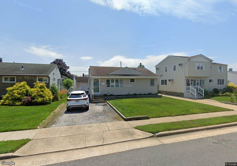
33 Hubbard Ave Freeport, NY 11520
Estimated Value: $526,000 - $560,821
3
Beds
1
Bath
985
Sq Ft
$552/Sq Ft
Est. Value
About This Home
This home is located at 33 Hubbard Ave, Freeport, NY 11520 and is currently estimated at $543,411, approximately $551 per square foot. 33 Hubbard Ave is a home located in Nassau County with nearby schools including Columbus Avenue School, Caroline G. Atkinson Intermediate School, and John W Dodd Middle School.
Ownership History
Date
Name
Owned For
Owner Type
Purchase Details
Closed on
Sep 19, 2018
Sold by
Pritchard Kelly
Bought by
Marable Tomika
Current Estimated Value
Home Financials for this Owner
Home Financials are based on the most recent Mortgage that was taken out on this home.
Original Mortgage
$363,072
Outstanding Balance
$318,453
Interest Rate
4.87%
Mortgage Type
FHA
Estimated Equity
$224,958
Purchase Details
Closed on
Sep 26, 2003
Sold by
Cameron Robert
Bought by
Pritchard Kelly
Purchase Details
Closed on
Apr 17, 2003
Sold by
Mcenaney Michael
Bought by
Cameron Robert
Purchase Details
Closed on
Jun 11, 2002
Sold by
Spano Salvatore
Bought by
Mcenaney Michael
Create a Home Valuation Report for This Property
The Home Valuation Report is an in-depth analysis detailing your home's value as well as a comparison with similar homes in the area
Home Values in the Area
Average Home Value in this Area
Purchase History
| Date | Buyer | Sale Price | Title Company |
|---|---|---|---|
| Marable Tomika | $369,770 | Security Title | |
| Pritchard Kelly | $287,000 | -- | |
| Cameron Robert | $267,000 | -- | |
| Mcenaney Michael | $170,500 | -- |
Source: Public Records
Mortgage History
| Date | Status | Borrower | Loan Amount |
|---|---|---|---|
| Open | Marable Tomika | $363,072 |
Source: Public Records
Tax History Compared to Growth
Tax History
| Year | Tax Paid | Tax Assessment Tax Assessment Total Assessment is a certain percentage of the fair market value that is determined by local assessors to be the total taxable value of land and additions on the property. | Land | Improvement |
|---|---|---|---|---|
| 2025 | $6,382 | $296 | $141 | $155 |
| 2024 | $665 | $306 | $146 | $160 |
| 2023 | $6,478 | $314 | $150 | $164 |
| 2022 | $6,478 | $314 | $150 | $164 |
| 2021 | $9,325 | $301 | $144 | $157 |
| 2020 | $6,139 | $373 | $372 | $1 |
| 2019 | $662 | $399 | $398 | $1 |
| 2018 | $3,138 | $426 | $0 | $0 |
| 2017 | $4,040 | $452 | $367 | $85 |
| 2016 | $4,718 | $543 | $441 | $102 |
| 2015 | $784 | $543 | $441 | $102 |
| 2014 | $784 | $543 | $441 | $102 |
| 2013 | $741 | $543 | $441 | $102 |
Source: Public Records
Map
Nearby Homes
- 44 Tyler St
- 7 Howard Ave
- 57 Hubbard Ave
- 870 Guy Lombardo Ave
- 68 Tyler St
- 74 Tyler St
- 67 Howard Ave
- 766 Guy Lombardo Ave
- 54 Robert St
- 725 Miller Ave Unit 111
- 497 Nassau Ave
- 11 Overton St
- 465 Nassau Ave
- 829 S Long Beach Ave
- 883 S Long Beach Ave
- 929 S Long Beach Ave
- 1 Anchorage Way Unit 301
- 1 Anchorage Way Unit 1401
- 894 S Long Beach Ave
- 644 Guy Lombardo Ave