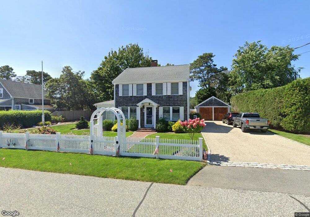
33 Inman Rd Dennis Port, MA 02639
Dennis Port NeighborhoodEstimated Value: $1,040,000 - $1,157,000
4
Beds
3
Baths
1,820
Sq Ft
$593/Sq Ft
Est. Value
About This Home
This home is located at 33 Inman Rd, Dennis Port, MA 02639 and is currently estimated at $1,080,070, approximately $593 per square foot. 33 Inman Rd is a home located in Barnstable County with nearby schools including Dennis-Yarmouth Regional High School and St. Pius X. School.
Ownership History
Date
Name
Owned For
Owner Type
Purchase Details
Closed on
Oct 9, 2013
Sold by
Haney Patrick J and Haney Glenda J
Bought by
Glenda J Haney T J and Glenda Haney
Current Estimated Value
Purchase Details
Closed on
Jul 15, 2011
Sold by
Inman Rd Rt and Gerstberger
Bought by
Haney Patrick J and Haney Glenda J
Home Financials for this Owner
Home Financials are based on the most recent Mortgage that was taken out on this home.
Original Mortgage
$390,000
Interest Rate
4.58%
Mortgage Type
Purchase Money Mortgage
Create a Home Valuation Report for This Property
The Home Valuation Report is an in-depth analysis detailing your home's value as well as a comparison with similar homes in the area
Home Values in the Area
Average Home Value in this Area
Purchase History
| Date | Buyer | Sale Price | Title Company |
|---|---|---|---|
| Glenda J Haney T J | -- | -- | |
| Glenda J Haney T | -- | -- | |
| Haney Patrick J | $530,000 | -- | |
| Haney Patrick J | $530,000 | -- |
Source: Public Records
Mortgage History
| Date | Status | Borrower | Loan Amount |
|---|---|---|---|
| Previous Owner | Haney Patrick J | $390,000 |
Source: Public Records
Tax History Compared to Growth
Tax History
| Year | Tax Paid | Tax Assessment Tax Assessment Total Assessment is a certain percentage of the fair market value that is determined by local assessors to be the total taxable value of land and additions on the property. | Land | Improvement |
|---|---|---|---|---|
| 2025 | $3,991 | $921,600 | $334,500 | $587,100 |
| 2024 | $4,082 | $929,800 | $321,700 | $608,100 |
| 2023 | $3,950 | $845,900 | $292,500 | $553,400 |
| 2022 | $3,840 | $685,800 | $275,700 | $410,100 |
| 2021 | $3,755 | $622,700 | $270,300 | $352,400 |
| 2020 | $3,996 | $655,000 | $300,300 | $354,700 |
| 2019 | $9,333 | $640,700 | $294,500 | $346,200 |
| 2018 | $3,389 | $534,600 | $235,500 | $299,100 |
| 2017 | $8,619 | $534,600 | $235,500 | $299,100 |
| 2016 | $3,116 | $477,200 | $229,800 | $247,400 |
| 2015 | $3,088 | $482,500 | $229,800 | $252,700 |
| 2014 | $3,137 | $494,000 | $224,200 | $269,800 |
Source: Public Records
Map
Nearby Homes
- 11 Ocean Park W
- 9 Chase Ave Unit 6
- 1 E Belmont Unit 630
- 405 Old Wharf Rd Unit B204
- 405 Old Wharf Rd Unit B204
- 402 Old Wharf Rd
- 1 Belmont Rd Unit 630
- 1 Belmont Rd Unit 513
- 402 Old Wharf Rd
- 26 Manning Rd
- 102 Sea St
- 159 Center St Unit 22
- 12 Cross St
- 3 Fairbanks Dr
- 22 Ferncliff Rd
- 73 Division St
- 148 Belmont Rd
- 19 Riverway
- 37-A Beach Hills Rd
- 19 Riverway