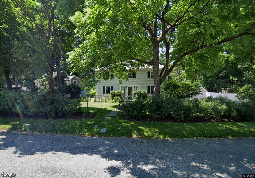
33 Kirkland Cir Wellesley Hills, MA 02481
Estimated Value: $1,157,000 - $1,410,000
3
Beds
3
Baths
1,936
Sq Ft
$682/Sq Ft
Est. Value
About This Home
This home is located at 33 Kirkland Cir, Wellesley Hills, MA 02481 and is currently estimated at $1,321,314, approximately $682 per square foot. 33 Kirkland Cir is a home located in Norfolk County with nearby schools including Sprague Elementary School, Wellesley Middle School, and Wellesley Sr High School.
Ownership History
Date
Name
Owned For
Owner Type
Purchase Details
Closed on
Jun 29, 2007
Sold by
Crown Mary E and Ellis William R C
Bought by
Coleman Carrie A and Coleman Timothy P
Current Estimated Value
Home Financials for this Owner
Home Financials are based on the most recent Mortgage that was taken out on this home.
Original Mortgage
$610,000
Outstanding Balance
$376,062
Interest Rate
6.24%
Mortgage Type
Purchase Money Mortgage
Estimated Equity
$945,252
Purchase Details
Closed on
Jul 7, 1994
Sold by
Mcdowell Katherine D
Bought by
Gay Thomas P
Purchase Details
Closed on
Oct 29, 1992
Sold by
Holmberg Allan A
Bought by
Mcdowell Katherine D
Home Financials for this Owner
Home Financials are based on the most recent Mortgage that was taken out on this home.
Original Mortgage
$235,800
Interest Rate
7.85%
Mortgage Type
Purchase Money Mortgage
Create a Home Valuation Report for This Property
The Home Valuation Report is an in-depth analysis detailing your home's value as well as a comparison with similar homes in the area
Home Values in the Area
Average Home Value in this Area
Purchase History
| Date | Buyer | Sale Price | Title Company |
|---|---|---|---|
| Coleman Carrie A | $610,000 | -- | |
| Gay Thomas P | $24,000 | -- | |
| Mcdowell Katherine D | $262,000 | -- |
Source: Public Records
Mortgage History
| Date | Status | Borrower | Loan Amount |
|---|---|---|---|
| Open | Coleman Carrie A | $610,000 | |
| Previous Owner | Mcdowell Katherine D | $244,800 | |
| Previous Owner | Mcdowell Katherine D | $235,800 |
Source: Public Records
Tax History Compared to Growth
Tax History
| Year | Tax Paid | Tax Assessment Tax Assessment Total Assessment is a certain percentage of the fair market value that is determined by local assessors to be the total taxable value of land and additions on the property. | Land | Improvement |
|---|---|---|---|---|
| 2025 | $11,144 | $1,084,000 | $896,000 | $188,000 |
| 2024 | $10,358 | $995,000 | $814,000 | $181,000 |
| 2023 | $9,343 | $816,000 | $679,000 | $137,000 |
| 2022 | $10,197 | $873,000 | $656,000 | $217,000 |
| 2021 | $9,917 | $844,000 | $627,000 | $217,000 |
| 2020 | $9,757 | $844,000 | $627,000 | $217,000 |
| 2019 | $8,920 | $771,000 | $566,000 | $205,000 |
| 2018 | $8,449 | $707,000 | $541,000 | $166,000 |
| 2017 | $8,347 | $708,000 | $542,000 | $166,000 |
| 2016 | $8,198 | $693,000 | $533,000 | $160,000 |
| 2015 | $7,722 | $668,000 | $507,000 | $161,000 |
Source: Public Records
Map
Nearby Homes
- 25 Shaw Rd
- 26 Edmunds Rd
- 42 Edmunds Rd
- 29 Rockland St
- 32 Kingsbury St Unit A
- 39 Audubon Rd
- 32 Donizetti St
- 7 Cliff Rd
- 99 Old Colony Rd
- 18 Sprague Rd
- 15 Essex Rd
- 201 Lowell Rd
- 32 Twitchell St
- 28 Clovelly Rd
- 14 Twitchell St
- 16 Stearns Rd Unit 101
- 16 Stearns Rd Unit 302
- 16 Stearns Rd Unit 207
- 16 Stearns Rd Unit 301
- 16 Stearns Rd Unit 103
- 560 Worcester St
- 560 Worcester St Unit 560
- 37 Kirkland Cir
- 27 Kirkland Cir
- 42 Kirkland Cir
- 41 Kirkland Cir
- 22 Kirkland Cir
- 37 Upwey Rd
- 4 Arnold Rd
- 542 Worcester St
- 555 Worcester St
- 555 Worcester St
- 23 Kirkland Cir
- 46 Kirkland Cir
- 45 Kirkland Cir
- 18 Kirkland Cir
- 29 Upwey Rd
- 7 Arnold Rd
- 19 Kirkland Cir
- 24 Shaw Rd