33 Langstroth Dr Ridgefield, CT 06877
Estimated Value: $795,818 - $970,000
4
Beds
3
Baths
1,960
Sq Ft
$449/Sq Ft
Est. Value
About This Home
This home is located at 33 Langstroth Dr, Ridgefield, CT 06877 and is currently estimated at $879,955, approximately $448 per square foot. 33 Langstroth Dr is a home located in Fairfield County with nearby schools including Ridgebury Elementary School, Scotts Ridge Middle School, and Ridgefield High School.
Ownership History
Date
Name
Owned For
Owner Type
Purchase Details
Closed on
Nov 20, 2001
Sold by
Vandebovenkamp Brett E and Debovencamp Eva C
Bought by
Franklin Frederick J
Current Estimated Value
Purchase Details
Closed on
Mar 30, 1998
Sold by
Donner Richard E and Logan Robert P
Bought by
Vandebovenkamp Brett E and Vandebovenkamp Eva C
Purchase Details
Closed on
Feb 18, 1987
Sold by
Dooley Frances
Bought by
Donner Richard E
Create a Home Valuation Report for This Property
The Home Valuation Report is an in-depth analysis detailing your home's value as well as a comparison with similar homes in the area
Home Values in the Area
Average Home Value in this Area
Purchase History
| Date | Buyer | Sale Price | Title Company |
|---|---|---|---|
| Franklin Frederick J | $435,000 | -- | |
| Vandebovenkamp Brett E | $319,000 | -- | |
| Donner Richard E | $272,000 | -- |
Source: Public Records
Mortgage History
| Date | Status | Borrower | Loan Amount |
|---|---|---|---|
| Open | Donner Richard E | $379,000 | |
| Closed | Donner Richard E | $170,000 | |
| Closed | Donner Richard E | $392,000 |
Source: Public Records
Tax History
| Year | Tax Paid | Tax Assessment Tax Assessment Total Assessment is a certain percentage of the fair market value that is determined by local assessors to be the total taxable value of land and additions on the property. | Land | Improvement |
|---|---|---|---|---|
| 2025 | $9,654 | $352,450 | $205,800 | $146,650 |
| 2024 | $9,287 | $352,450 | $205,800 | $146,650 |
| 2023 | $9,097 | $352,450 | $205,800 | $146,650 |
| 2022 | $9,044 | $318,110 | $171,490 | $146,620 |
| 2021 | $8,974 | $318,110 | $171,490 | $146,620 |
| 2020 | $8,945 | $318,110 | $171,490 | $146,620 |
| 2019 | $8,945 | $318,110 | $171,490 | $146,620 |
| 2018 | $8,837 | $318,110 | $171,490 | $146,620 |
| 2017 | $8,736 | $321,070 | $166,010 | $155,060 |
| 2016 | $8,569 | $321,070 | $166,010 | $155,060 |
| 2015 | $8,351 | $321,070 | $166,010 | $155,060 |
| 2014 | $8,351 | $321,070 | $166,010 | $155,060 |
Source: Public Records
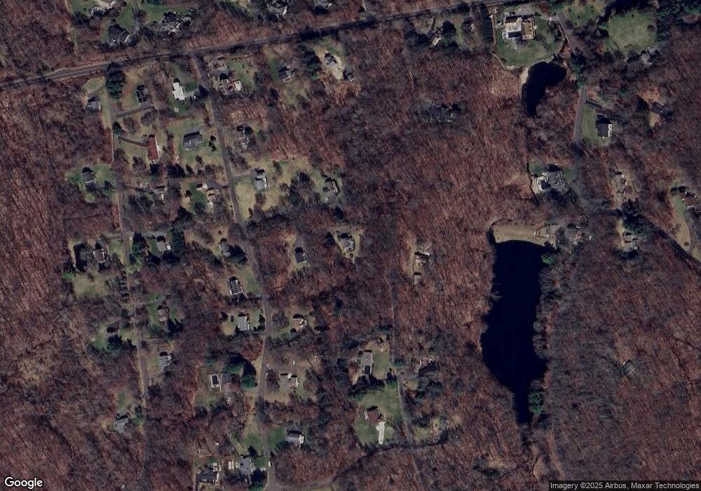
Map
Nearby Homes
- 41 Old Mill Rd
- 15 Marc Rd
- 0 Ives Ct
- 2 Rolf Dr
- 399 Ridgebury Rd
- 82 Keeler Dr
- 29 Harwood Dr
- 219 Bennetts Farm Rd
- 10 Foxwood Dr Unit Lot 65
- 0 Holly Ridge Way Unit Lot 79 24090094
- 16 Holly Ridge Way Unit Lot 86
- 16 Holly Ridge Way
- 6 Thorncrest Ridge Unit Lot 72
- 6 Holly Ridge Way Dr Unit Lot 81
- 7 Foxwood Dr Unit Lot 57
- 5 Thorncrest Ridge Unit Lot 54
- 5 Foxwood Dr Unit Lot 58
- 6 Holly Ridge Way
- 1 Thorncrest Ridge Unit Lot 56
- 14 Dillman Ct
- 31 Langstroth Dr
- 53 Langstroth Dr
- 29 Langstroth Dr
- 104 Bogus Rd
- 44 Langstroth Dr
- 91 Bogus Rd
- 88 Bogus Rd
- 57 Langstroth Dr
- 34 Langstroth Dr
- 99 Bogus Rd
- 23 Langstroth Dr
- 17 Langstroth Dr
- 150 George Washington Hwy
- 60 Langstroth Dr
- 63 Langstroth Dr
- 12 Langstroth Dr
- 41 Scodon Dr
- 29 Scodon Dr
- 76 Bogus Rd
- 132 George Washington Hwy
Your Personal Tour Guide
Ask me questions while you tour the home.