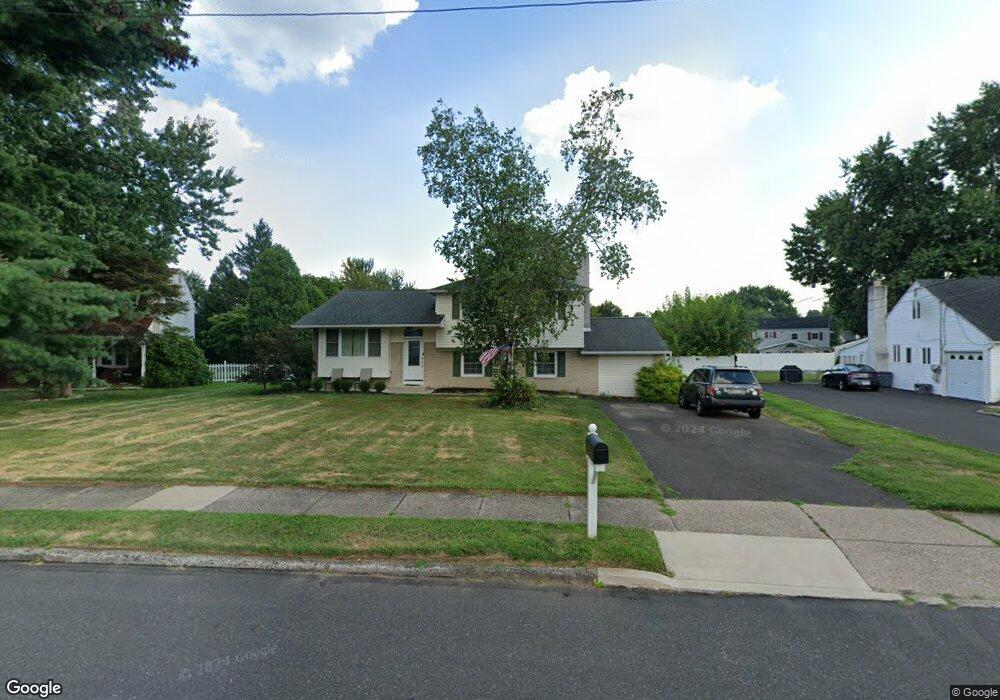
33 Latchstring Ln Hatboro, PA 19040
Estimated Value: $539,943 - $559,000
4
Beds
3
Baths
2,554
Sq Ft
$215/Sq Ft
Est. Value
About This Home
This home is located at 33 Latchstring Ln, Hatboro, PA 19040 and is currently estimated at $549,486, approximately $215 per square foot. 33 Latchstring Ln is a home located in Montgomery County with nearby schools including Hallowell Elementary School, Keith Valley Middle School, and Hatboro-Horsham Senior High School.
Ownership History
Date
Name
Owned For
Owner Type
Purchase Details
Closed on
Apr 16, 2010
Sold by
Carroll Michael
Bought by
Lion William J and Lion Nicole A
Current Estimated Value
Home Financials for this Owner
Home Financials are based on the most recent Mortgage that was taken out on this home.
Original Mortgage
$306,000
Outstanding Balance
$203,705
Interest Rate
4.99%
Estimated Equity
$345,781
Purchase Details
Closed on
Jun 26, 1997
Sold by
Karl Allen W and Karl Margaret A
Bought by
Carroll Michael
Create a Home Valuation Report for This Property
The Home Valuation Report is an in-depth analysis detailing your home's value as well as a comparison with similar homes in the area
Home Values in the Area
Average Home Value in this Area
Purchase History
| Date | Buyer | Sale Price | Title Company |
|---|---|---|---|
| Lion William J | $340,000 | None Available | |
| Carroll Michael | $170,000 | -- |
Source: Public Records
Mortgage History
| Date | Status | Borrower | Loan Amount |
|---|---|---|---|
| Open | Lion William J | $306,000 |
Source: Public Records
Tax History
| Year | Tax Paid | Tax Assessment Tax Assessment Total Assessment is a certain percentage of the fair market value that is determined by local assessors to be the total taxable value of land and additions on the property. | Land | Improvement |
|---|---|---|---|---|
| 2025 | $6,288 | $159,960 | $51,300 | $108,660 |
| 2024 | $6,288 | $159,960 | $51,300 | $108,660 |
| 2023 | $5,985 | $159,960 | $51,300 | $108,660 |
| 2022 | $5,791 | $159,960 | $51,300 | $108,660 |
| 2021 | $5,654 | $159,960 | $51,300 | $108,660 |
| 2020 | $5,521 | $159,960 | $51,300 | $108,660 |
| 2019 | $5,415 | $159,960 | $51,300 | $108,660 |
Source: Public Records
Map
Nearby Homes
- 25 Patriot Ln
- 18 Patriot Ln
- 36 Patriot Ln
- 537 Sherwood Ln
- 604 Liberty Ridge Rd
- 616 Liberty Ridge Rd
- 532 Sherwood Ln
- 602 America Dr Unit FARADAY MODEL HOME
- 604 America #Northbrook Model Dr
- 619 Liberty Ridge Rd
- 623 Liberty Ridge Rd
- 607 America Dr
- 1171 W County Line Rd
- 60 Caledonia Dr
- 204 Wilson Ave
- 407 W Moreland Ave
- 711 W County Line Rd
- 1246 Victoria Rd
- 733 W County Line Rd
- 240 Clearfield Cir
- 35 Latchstring Ln
- 31 Latchstring Ln
- 44 Buckman Dr
- 46 Buckman Dr
- 42 Buckman Dr
- 37 Latchstring Ln
- 29 Latchstring Ln
- 48 Buckman Dr
- 32 Latchstring Ln
- 30 Latchstring Ln
- 40 Buckman Dr
- 38 Buckman Dr
- 50 Buckman Dr
- 36 Buckman Dr
- 39 Latchstring Ln
- 27 Latchstring Ln
- 28 Latchstring Ln
- 34 Latchstring Ln
- 34 Buckman Dr
- 52 Buckman Dr
Your Personal Tour Guide
Ask me questions while you tour the home.