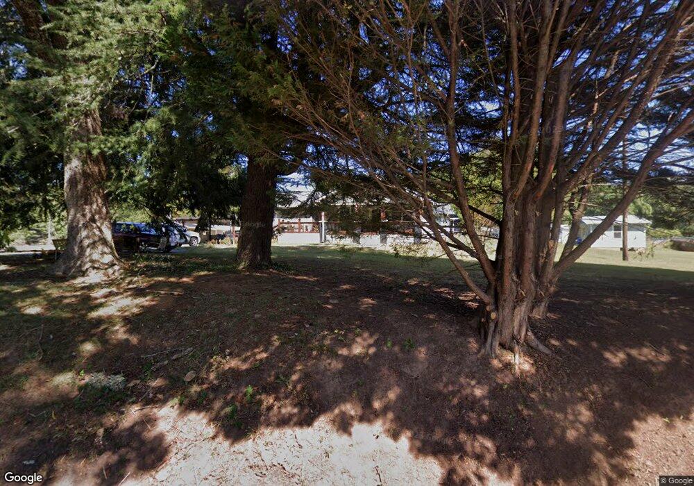
33 Leaford Rd Cleveland, GA 30528
Estimated Value: $329,569 - $398,000
3
Beds
2
Baths
2,122
Sq Ft
$171/Sq Ft
Est. Value
About This Home
This home is located at 33 Leaford Rd, Cleveland, GA 30528 and is currently estimated at $363,642, approximately $171 per square foot. 33 Leaford Rd is a home located in White County with nearby schools including White County 9th Grade Academy, Mount Yonah Elementary School, and White County Middle School.
Create a Home Valuation Report for This Property
The Home Valuation Report is an in-depth analysis detailing your home's value as well as a comparison with similar homes in the area
Home Values in the Area
Average Home Value in this Area
Tax History Compared to Growth
Tax History
| Year | Tax Paid | Tax Assessment Tax Assessment Total Assessment is a certain percentage of the fair market value that is determined by local assessors to be the total taxable value of land and additions on the property. | Land | Improvement |
|---|---|---|---|---|
| 2024 | $1,599 | $94,924 | $18,664 | $76,260 |
| 2023 | $1,167 | $83,944 | $16,588 | $67,356 |
| 2022 | $1,484 | $72,928 | $14,516 | $58,412 |
| 2021 | $1,414 | $58,600 | $11,672 | $46,928 |
| 2020 | $1,417 | $54,896 | $10,840 | $44,056 |
| 2019 | $1,259 | $49,124 | $10,840 | $38,284 |
| 2018 | $1,259 | $49,124 | $10,840 | $38,284 |
| 2017 | $1,200 | $46,644 | $10,840 | $35,804 |
| 2016 | $1,201 | $46,644 | $10,840 | $35,804 |
| 2015 | $1,147 | $116,610 | $10,840 | $35,804 |
| 2014 | $1,095 | $109,520 | $0 | $0 |
Source: Public Records
Map
Nearby Homes
- 675 Washboard Rd
- 164 Leatherford Rd
- 0 Highway 115 E Unit 10608501
- 77 N Shore Dr
- 919 Leatherford Rd
- 319 Dock Dorsey Rd
- 179 Pine Brook Dr
- 0 Black Rd Unit 10620540
- 0 Black Rd Unit 7662078
- 61 Berry Patch Ln
- 79 Hampton Hills Ln
- 0 Freeman Rd Unit LOT 4
- 0 Freeman Rd Unit LOT 3 10539998
- 0 Freeman Rd Unit LOT 2 10539989
- 00 Freeman Rd
- 1021 Black Rd
- 0 Holiness Campground Rd Unit 10609890
- LOT 12 Heather Way
- 0 Highland Forest Rd Unit TRACT "2" 10559371
- 915 Holiness Campground Rd
- 270 Pless Rd
- 62 Leaford Rd
- 93 Leaford Rd
- 151 Gunns Cir
- 199 Pless Rd
- 324 Pless Rd
- 108 Ro Tim Dr
- 326 Pless Rd
- 132 Gunns Cir
- 161 Gunns Cir
- 0 Wanderway Dr Unit 6.2AC 7340142
- 0 Wanderway Dr Unit 10363804
- 0 Wanderway Dr Unit 10343176
- 0 Wanderway Dr Unit 20174152
- 0 Wanderway Dr Unit 20169970
- 0 Wanderway Dr Unit 20164433
- 0 Wanderway Dr Unit 20160484
- 0 Wanderway Dr Unit 20155241
- 0 Wanderway Dr Unit 20149152
- 0 Wanderway Dr Unit 7278259
