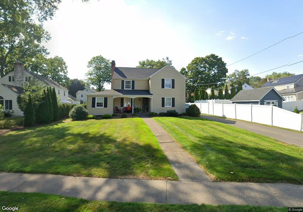
33 Lincoln Ave West Hartford, CT 06117
Estimated Value: $562,000 - $655,810
3
Beds
3
Baths
1,999
Sq Ft
$307/Sq Ft
Est. Value
About This Home
This home is located at 33 Lincoln Ave, West Hartford, CT 06117 and is currently estimated at $614,453, approximately $307 per square foot. 33 Lincoln Ave is a home located in Hartford County with nearby schools including Morley School, King Philip Middle School, and Hall High School.
Ownership History
Date
Name
Owned For
Owner Type
Purchase Details
Closed on
Nov 8, 2010
Sold by
Orzech David L and Orzech Judith A
Bought by
Orzech Tr Judith A and Orzech David L
Current Estimated Value
Home Financials for this Owner
Home Financials are based on the most recent Mortgage that was taken out on this home.
Original Mortgage
$195,000
Interest Rate
4.55%
Purchase Details
Closed on
Jan 5, 1987
Sold by
Callery David J
Bought by
Bresnhan James F
Create a Home Valuation Report for This Property
The Home Valuation Report is an in-depth analysis detailing your home's value as well as a comparison with similar homes in the area
Home Values in the Area
Average Home Value in this Area
Purchase History
| Date | Buyer | Sale Price | Title Company |
|---|---|---|---|
| Orzech Tr Judith A | -- | -- | |
| Bresnhan James F | $205,000 | -- |
Source: Public Records
Mortgage History
| Date | Status | Borrower | Loan Amount |
|---|---|---|---|
| Open | Bresnhan James F | $100,000 | |
| Closed | Bresnhan James F | $100,000 | |
| Previous Owner | Bresnhan James F | $195,000 | |
| Previous Owner | Bresnhan James F | $170,000 |
Source: Public Records
Tax History Compared to Growth
Tax History
| Year | Tax Paid | Tax Assessment Tax Assessment Total Assessment is a certain percentage of the fair market value that is determined by local assessors to be the total taxable value of land and additions on the property. | Land | Improvement |
|---|---|---|---|---|
| 2025 | $12,664 | $282,800 | $114,590 | $168,210 |
| 2024 | $11,977 | $282,800 | $114,590 | $168,210 |
| 2023 | $10,976 | $268,240 | $114,590 | $153,650 |
| 2022 | $10,912 | $268,240 | $114,590 | $153,650 |
| 2021 | $10,604 | $249,970 | $114,590 | $135,380 |
| 2020 | $10,297 | $246,330 | $116,550 | $129,780 |
| 2019 | $10,297 | $246,330 | $116,550 | $129,780 |
| 2018 | $10,100 | $246,330 | $116,550 | $129,780 |
| 2017 | $10,109 | $246,330 | $116,550 | $129,780 |
| 2016 | $9,851 | $249,340 | $110,670 | $138,670 |
| 2015 | $9,415 | $245,770 | $110,670 | $135,100 |
| 2014 | $8,941 | $239,260 | $110,670 | $128,590 |
Source: Public Records
Map
Nearby Homes
- 62 Blue Ridge Ln
- 1294 Trout Brook Dr
- 129 Middlebrook Rd
- 11 Lawler Rd
- 47 Flagg Rd
- 1272 Trout Brook Dr
- 30 Farmstead Ln
- 1268 Trout Brook Dr
- 2581 Albany Ave
- 139 Mohawk Dr
- 132 N Main St
- 3 Pilgrim Rd
- 1196 Trout Brook Dr
- 56 Fox Chase Ln
- 3 Trumbull Ln
- 148 King Philip Dr
- 1110 Trout Brook Dr
- 320 N Steele Rd
- 1993 Albany Ave
- 183 Loomis Dr Unit 109
- 4 Westmoreland Dr
- 121 Lawler Rd
- 8 Westmoreland Dr
- 123 Lawler Rd
- 117 Lawler Rd
- 127 Lawler Rd
- 10 Westmoreland Dr
- 34 Lincoln Ave
- 25 Lincoln Ave
- 36 Lincoln Ave
- 30 Lincoln Ave
- 131 Lawler Rd
- 42 Lincoln Ave
- 12 Westmoreland Dr
- 28 Lincoln Ave
- 9 Westmoreland Dr
- 21 Lincoln Ave
- 120 Lawler Rd
- 24 Lincoln Ave
- 124 Lawler Rd