33 Long Branch Way Dahlonega, GA 30533
Estimated Value: $380,383 - $450,000
3
Beds
3
Baths
1,670
Sq Ft
$252/Sq Ft
Est. Value
About This Home
This home is located at 33 Long Branch Way, Dahlonega, GA 30533 and is currently estimated at $421,346, approximately $252 per square foot. 33 Long Branch Way is a home located in Lumpkin County with nearby schools including Clay County Middle School and Lumpkin County High School.
Ownership History
Date
Name
Owned For
Owner Type
Purchase Details
Closed on
Sep 23, 2005
Sold by
Paul Spicer Construction I
Bought by
Fullard Thomas R and Fullard Mary E
Current Estimated Value
Purchase Details
Closed on
Jan 9, 2004
Sold by
Greenpoint Investment Funding
Bought by
Paul Spicer Construction Inc
Purchase Details
Closed on
Jan 2, 2004
Sold by
Neil Ken
Bought by
Greenpoint Investment Funding Llc
Purchase Details
Closed on
May 22, 2002
Sold by
Site Built Homes Inc
Bought by
Neil Ken
Purchase Details
Closed on
Aug 10, 2000
Sold by
Rymer Homes Inc
Bought by
Site Built Homes Inc
Create a Home Valuation Report for This Property
The Home Valuation Report is an in-depth analysis detailing your home's value as well as a comparison with similar homes in the area
Home Values in the Area
Average Home Value in this Area
Purchase History
| Date | Buyer | Sale Price | Title Company |
|---|---|---|---|
| Fullard Thomas R | $189,200 | -- | |
| Paul Spicer Construction Inc | $35,000 | -- | |
| Greenpoint Investment Funding Llc | $10,000 | -- | |
| Neil Ken | $50,000 | -- | |
| Site Built Homes Inc | $235,000 | -- |
Source: Public Records
Tax History Compared to Growth
Tax History
| Year | Tax Paid | Tax Assessment Tax Assessment Total Assessment is a certain percentage of the fair market value that is determined by local assessors to be the total taxable value of land and additions on the property. | Land | Improvement |
|---|---|---|---|---|
| 2024 | $133 | $119,048 | $7,900 | $111,148 |
| 2023 | $218 | $111,547 | $7,900 | $103,647 |
| 2022 | $307 | $100,520 | $8,400 | $92,120 |
| 2021 | $146 | $84,510 | $8,400 | $76,110 |
| 2020 | $126 | $82,374 | $8,400 | $73,974 |
| 2019 | $130 | $82,374 | $8,400 | $73,974 |
| 2018 | $33 | $72,858 | $8,400 | $64,458 |
| 2017 | $0 | $68,580 | $8,400 | $60,180 |
| 2016 | -- | $63,020 | $8,400 | $54,620 |
| 2015 | -- | $63,020 | $8,400 | $54,620 |
| 2014 | -- | $63,648 | $8,400 | $55,248 |
| 2013 | -- | $64,284 | $8,400 | $55,884 |
Source: Public Records
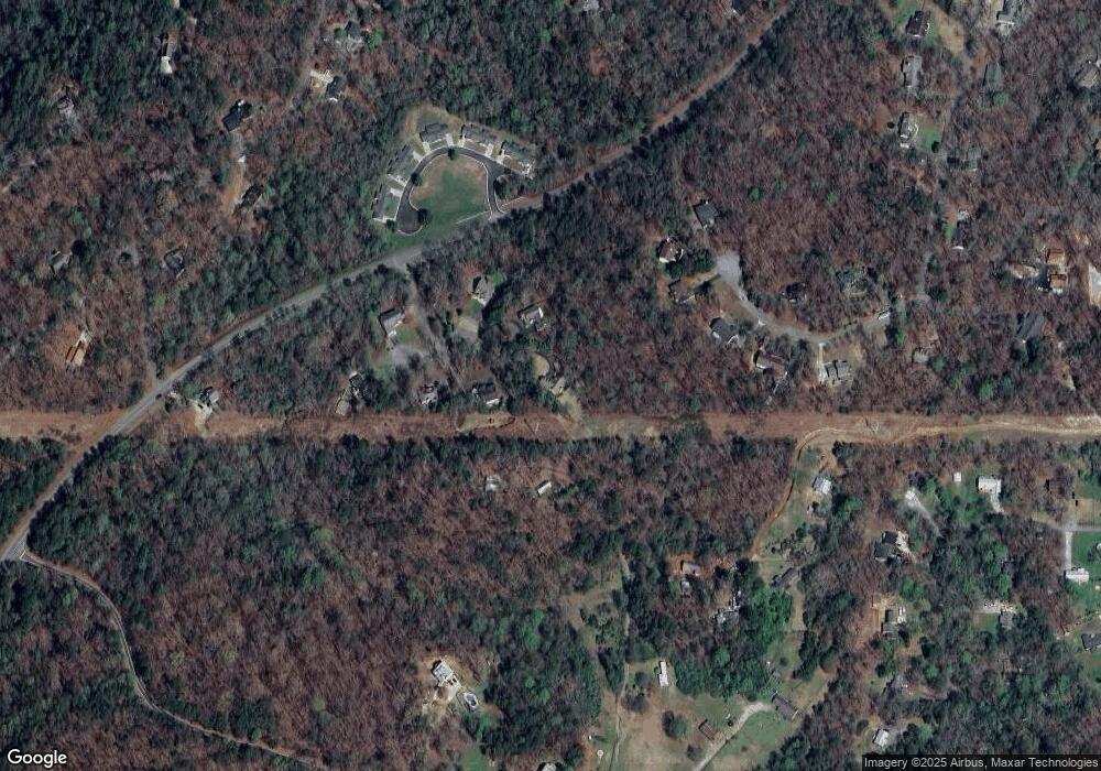
Map
Nearby Homes
- 380 Copper Mill Rd
- 128 Young Deer Dr
- 202 Indian Trail
- 87 Tolleffs Trail
- 0 Arborwood Dr Unit 10645890
- 83 Austin Ct
- 6480 Highway 52 W
- 45 Chestatee River Ridge
- 0 Bearden Rd Unit 10598024
- 0 Bearden Rd Unit 7642996
- 496 Beaver Dam Rd
- 600 Chapman Ridge Ln
- 500 Chapman Ridge Ln
- 27.68 Chapman Ridge Ln
- 100 Rocky Branch Dr
- 86.99 Acres Mincie Mountain
- 35 Long Branch Way
- 31 Long Branch Way
- 137 Old Oak Way
- 81 Old Oak Way
- 251 Davine Dr
- 73 Old Oak Way
- 139 Old Oak Way
- 0 Long Branch Way Unit 9062252
- 0 Long Branch Way Unit 1
- 141 Old Oak Way
- LOT 15 Old Oak Way
- 20 Long Branch Way
- 20 Long Branch Way Unit 1
- 88 Old Oak Way
- 61 Old Oak Way
- 22 Copper Creek Dr Unit 3
- 96 Copper Creek Dr Unit 10
- 96 Copper Creek Dr Unit 10
- 24 Long Branch Way
- 80 Copper Creek Dr Unit 9