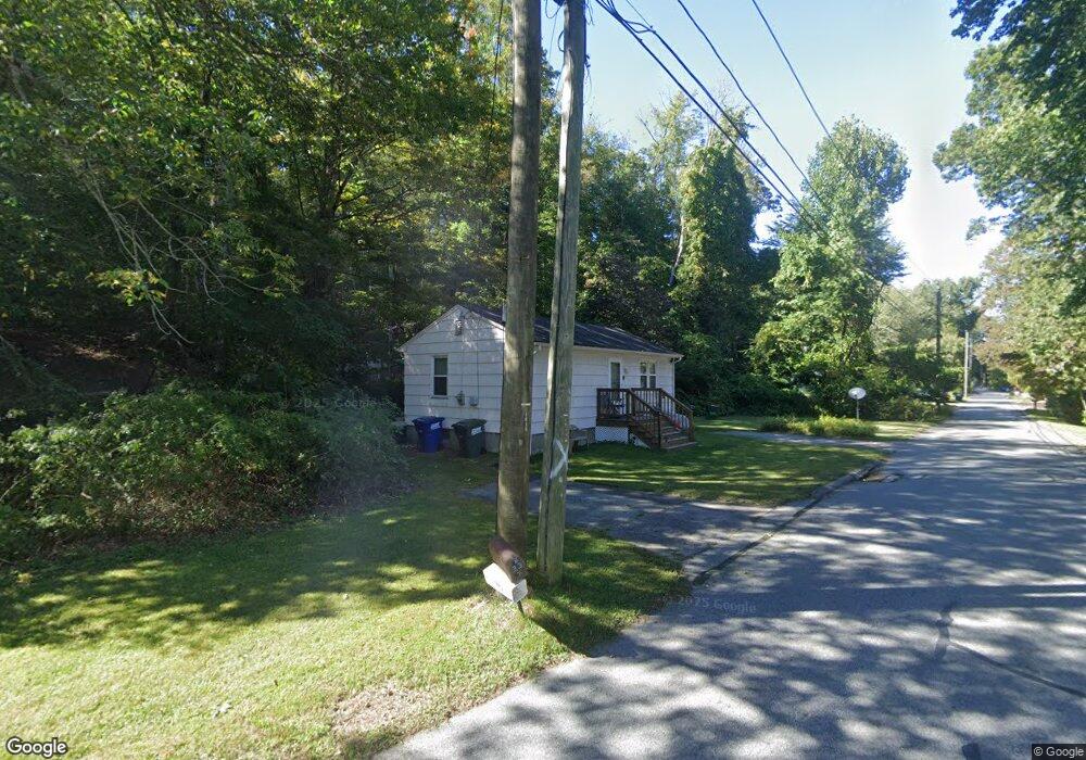
33 Long Pond Rd S Unit RA Ledyard, CT 06339
Estimated Value: $395,846 - $500,000
2
Beds
2
Baths
1,104
Sq Ft
$406/Sq Ft
Est. Value
About This Home
This home is located at 33 Long Pond Rd S Unit RA, Ledyard, CT 06339 and is currently estimated at $448,712, approximately $406 per square foot. 33 Long Pond Rd S Unit RA is a home located in New London County with nearby schools including Ledyard Middle School and Ledyard High School.
Ownership History
Date
Name
Owned For
Owner Type
Purchase Details
Closed on
Dec 8, 2015
Sold by
Lachance Tracy A
Bought by
Martin Thomas J
Current Estimated Value
Home Financials for this Owner
Home Financials are based on the most recent Mortgage that was taken out on this home.
Original Mortgage
$182,848
Outstanding Balance
$141,978
Interest Rate
3.83%
Estimated Equity
$306,734
Purchase Details
Closed on
Sep 4, 2003
Sold by
Connelly James and Connelly Sally
Bought by
Johnson David and Johnson Marie
Create a Home Valuation Report for This Property
The Home Valuation Report is an in-depth analysis detailing your home's value as well as a comparison with similar homes in the area
Home Values in the Area
Average Home Value in this Area
Purchase History
| Date | Buyer | Sale Price | Title Company |
|---|---|---|---|
| Martin Thomas J | $179,000 | -- | |
| Johnson David | $57,500 | -- |
Source: Public Records
Mortgage History
| Date | Status | Borrower | Loan Amount |
|---|---|---|---|
| Open | Johnson David | $182,848 | |
| Previous Owner | Johnson David | $100,000 |
Source: Public Records
Tax History Compared to Growth
Tax History
| Year | Tax Paid | Tax Assessment Tax Assessment Total Assessment is a certain percentage of the fair market value that is determined by local assessors to be the total taxable value of land and additions on the property. | Land | Improvement |
|---|---|---|---|---|
| 2025 | $6,000 | $161,560 | $45,570 | $115,990 |
| 2024 | $5,649 | $160,440 | $45,570 | $114,870 |
| 2023 | $5,545 | $160,440 | $45,570 | $114,870 |
| 2022 | $5,426 | $160,440 | $45,570 | $114,870 |
| 2021 | $5,391 | $160,440 | $45,570 | $114,870 |
| 2020 | $4,837 | $138,320 | $40,530 | $97,790 |
| 2019 | $4,849 | $138,320 | $40,530 | $97,790 |
| 2018 | $4,743 | $138,320 | $40,530 | $97,790 |
| 2017 | $4,501 | $138,320 | $40,530 | $97,790 |
| 2016 | $4,412 | $138,320 | $40,530 | $97,790 |
| 2015 | $4,205 | $138,320 | $40,530 | $97,790 |
| 2014 | $4,330 | $144,830 | $40,530 | $104,300 |
Source: Public Records
Map
Nearby Homes
- 45R Long Pond Rd S
- 75 Homestead Rd
- 188 Wolf Neck Rd
- 61 Town Farm Rd
- 4 Lakeside Dr Unit L
- 6 Lakeside Dr Unit P
- 20 Lakeside Dr Unit P
- 113 Meeting House Ln
- 7 Captain Amos Stanton Dr
- 12 Cartridge Trail
- 332 Lantern Hill Rd
- 22 Cliff Rd
- 25 Old Colony Ln
- 22 Boulder Way
- 41 Wolf Neck Rd
- 55 Wolf Neck Rd
- 1 Circle Dr
- 69 Wolf Neck Rd
- 130 Stephen Dr
- 717 Norwich Westerly Rd
- 33 Long Pond Rd S Unit RB
- 33 Long Pond Rd S
- 33 Long Pond Rd S
- 16507 Badminton Rd S
- 37 Long Pond Rd S
- 37 Long Pond Rd S Unit RA
- 39 Long Pond Rd S
- 36 R-1 Long Pond Rd S Unit R-1
- 40 Long Pond Rd S
- 40 Long Pond Rd S Unit RA
- 32 Long Cove
- 32 Long Pond Rd S
- 44 Long Pond Rd S Unit 44A
- 36 Long Pond Rd S Unit RA
- 36 Long Pond Rd S
- 36 Long Pond Rd S Unit R-1
- 36 Long Pond Rd S Unit R
- 40R Long Pond Rd S
- 43R Long Pond Rd S
- 36 Long Pond Rd S