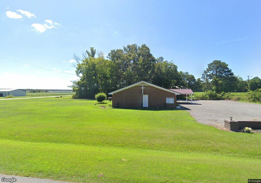
33 Long Ridge Rd Plymouth, NC 27962
Estimated Value: $144,466
--
Bed
--
Bath
2,140
Sq Ft
$68/Sq Ft
Est. Value
About This Home
This home is located at 33 Long Ridge Rd, Plymouth, NC 27962 and is currently estimated at $144,466, approximately $67 per square foot. 33 Long Ridge Rd is a home located in Washington County with nearby schools including Pines Elementary School, Washington County Middle, and Washington County High.
Ownership History
Date
Name
Owned For
Owner Type
Purchase Details
Closed on
Oct 23, 2025
Sold by
Coopers Temple Church Of God In Christ and Armstrong Michael O
Bought by
Armstrong Michael O and Armstrong Carrie D
Current Estimated Value
Purchase Details
Closed on
Feb 26, 2014
Sold by
Stoop Chad H and Dunbar Jack
Bought by
Coopers Temple Church Of God In Christ
Home Financials for this Owner
Home Financials are based on the most recent Mortgage that was taken out on this home.
Original Mortgage
$55,000
Interest Rate
3.47%
Mortgage Type
Commercial
Create a Home Valuation Report for This Property
The Home Valuation Report is an in-depth analysis detailing your home's value as well as a comparison with similar homes in the area
Home Values in the Area
Average Home Value in this Area
Purchase History
| Date | Buyer | Sale Price | Title Company |
|---|---|---|---|
| Armstrong Michael O | -- | None Listed On Document | |
| Coopers Temple Church Of God In Christ | $60,000 | None Available |
Source: Public Records
Mortgage History
| Date | Status | Borrower | Loan Amount |
|---|---|---|---|
| Previous Owner | Coopers Temple Church Of God In Christ | $55,000 |
Source: Public Records
Tax History Compared to Growth
Tax History
| Year | Tax Paid | Tax Assessment Tax Assessment Total Assessment is a certain percentage of the fair market value that is determined by local assessors to be the total taxable value of land and additions on the property. | Land | Improvement |
|---|---|---|---|---|
| 2025 | -- | $138,900 | $21,700 | $117,200 |
| 2024 | -- | $138,900 | $21,700 | $117,200 |
| 2023 | -- | $138,900 | $21,700 | $117,200 |
| 2021 | $1,125 | $138,900 | $21,700 | $117,200 |
| 2020 | -- | $138,900 | $21,700 | $117,200 |
| 2019 | -- | $138,900 | $21,700 | $117,200 |
| 2018 | -- | $138,900 | $21,700 | $117,200 |
| 2017 | $1,125 | $138,900 | $21,700 | $117,200 |
| 2016 | $1,125 | $138,900 | $21,700 | $117,200 |
| 2015 | -- | $138,900 | $21,700 | $117,200 |
| 2014 | -- | $136,600 | $21,700 | $114,900 |
| 2013 | -- | $136,600 | $21,700 | $114,900 |
Source: Public Records
Map
Nearby Homes
- 0 Mcnair Unit 100465373
- 102 Long Ridge Rd
- 82 Long Ridge Rd
- 2715 US Highway 64 W
- 2996 U S 64
- 1222 Wilson St
- 235 Mcnair Rd
- 215 North St
- 0 Ken Trowbridge Rd
- 805 Wilson St
- 108 Bateman St
- 111 Bateman St
- 984 Nc Highway 32 S
- 952 Nc Highway 32 S
- 58 Country Ln
- 117 Luvera St
- 111 Luvera St
- 108 Spencer St
- 109 Luvera St
- 604 Wilson St
- 690 Long Ridge Rd
- 598 Long Ridge Rd
- 580 Long Ridge Rd
- 0 Long Ridge Unit 100451855
- 0 Long Ridge Unit 897323
- 0 Long Ridge Unit 8108562
- 571 Long Ridge Rd
- 98 Westhaven Dr
- 40 Ange Dr
- 166 Westhaven Dr
- 70 Ange Dr
- 94 Westhaven Dr
- 511 Long Ridge Rd
- 127 Ange Dr
- 473 Long Ridge Rd
- 35 Ange Dr
- 218 Westhaven Dr
- 85 Ange Dr
- 105 Ange Dr