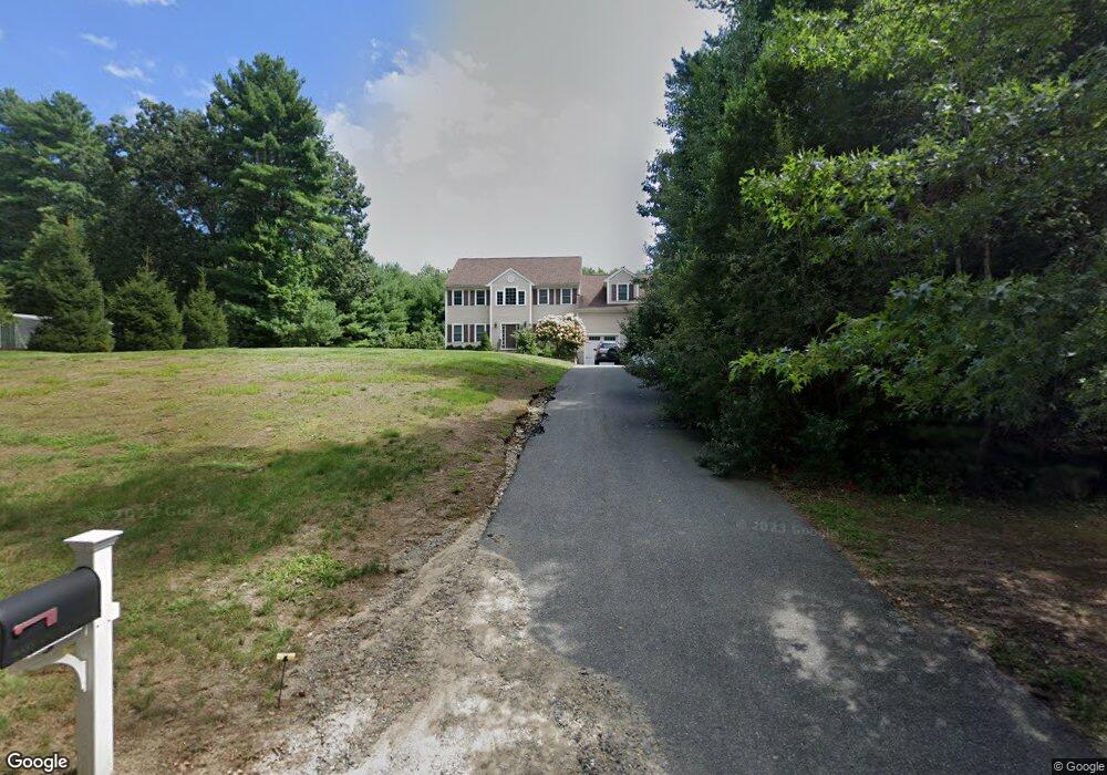
33 Mass Ave Norfolk, MA 02056
Estimated Value: $1,051,005 - $1,178,000
4
Beds
3
Baths
2,945
Sq Ft
$378/Sq Ft
Est. Value
About This Home
This home is located at 33 Mass Ave, Norfolk, MA 02056 and is currently estimated at $1,114,251, approximately $378 per square foot. 33 Mass Ave is a home located in Norfolk County with nearby schools including H. Olive Day School, Freeman-Kennedy School, and Woodside Montessori Academy.
Ownership History
Date
Name
Owned For
Owner Type
Purchase Details
Closed on
Apr 5, 2013
Sold by
Briker Realty Llc
Bought by
Coleman David F and Coleman Fadie T
Current Estimated Value
Home Financials for this Owner
Home Financials are based on the most recent Mortgage that was taken out on this home.
Original Mortgage
$465,000
Outstanding Balance
$335,986
Interest Rate
4%
Mortgage Type
New Conventional
Estimated Equity
$778,265
Purchase Details
Closed on
Feb 24, 2012
Sold by
Intoccia Dev Corp
Bought by
Briker Realty Llc
Create a Home Valuation Report for This Property
The Home Valuation Report is an in-depth analysis detailing your home's value as well as a comparison with similar homes in the area
Home Values in the Area
Average Home Value in this Area
Purchase History
| Date | Buyer | Sale Price | Title Company |
|---|---|---|---|
| Coleman David F | $586,000 | -- | |
| Coleman David F | $586,000 | -- | |
| Briker Realty Llc | $151,000 | -- |
Source: Public Records
Mortgage History
| Date | Status | Borrower | Loan Amount |
|---|---|---|---|
| Open | Coleman David F | $465,000 | |
| Closed | Coleman David F | $465,000 |
Source: Public Records
Tax History Compared to Growth
Tax History
| Year | Tax Paid | Tax Assessment Tax Assessment Total Assessment is a certain percentage of the fair market value that is determined by local assessors to be the total taxable value of land and additions on the property. | Land | Improvement |
|---|---|---|---|---|
| 2025 | $15,165 | $949,600 | $223,400 | $726,200 |
| 2024 | $14,357 | $922,100 | $223,400 | $698,700 |
| 2023 | $13,712 | $835,600 | $223,400 | $612,200 |
| 2022 | $12,980 | $713,200 | $209,300 | $503,900 |
| 2021 | $12,555 | $697,900 | $203,300 | $494,600 |
| 2020 | $12,489 | $670,000 | $184,800 | $485,200 |
| 2019 | $11,987 | $655,400 | $184,800 | $470,600 |
| 2018 | $11,388 | $611,600 | $184,800 | $426,800 |
| 2017 | $11,224 | $616,000 | $184,800 | $431,200 |
| 2016 | $10,881 | $601,800 | $184,800 | $417,000 |
| 2015 | $10,547 | $597,200 | $175,900 | $421,300 |
| 2014 | $10,277 | $589,600 | $175,900 | $413,700 |
Source: Public Records
Map
Nearby Homes
- 27 Whichita Rd
- 23 Algonquin Rd
- 29 Wildwood Rd Unit 29
- 2 Gerald Ave
- 10 Stop River Rd
- 53 Thomas Mann Cir Unit 31
- 57 Thomas Mann Cir Unit 57
- 63 Thomas Mann Cir Unit 36
- 51 Thomas Mann Unit 30
- 7 Malcolm St
- 42 Thomas Mann Unit 39
- 37 Thomas Mann Cir Unit 23
- The Georgetown L Plan at Lakeland Hills
- The Georgetown Grand L Plan at Lakeland Hills
- The Georgetown R Plan at Lakeland Hills
- The Georgetown Grand R Plan at Lakeland Hills
- 13 Stop River Rd
- 28 Thomas Mann Cir Unit Lot 38
- 27 Thomas Mann Cir Unit 18
- 16 Stop River Rd
- 33 Massachusetts Ave
- 35 Massachusetts Ave
- 31 Massachusetts Ave
- 47 Turner St
- 34 Massachusetts Ave
- 29 Massachusetts Ave
- 36 Massachusetts Ave
- 39 Massachusetts Ave
- 30 Massachusetts Ave
- 00 Applewood Rd
- 27 Massachusetts Ave
- 40 Turner St
- 41 Massachusetts Ave
- 15 Cypress Ln
- 1 Applewood Rd
- 37 Turner St
- 46 Massachusetts Ave
- 44 Massachusetts Ave
- 33 Turner St
- 6 Cypress Ln