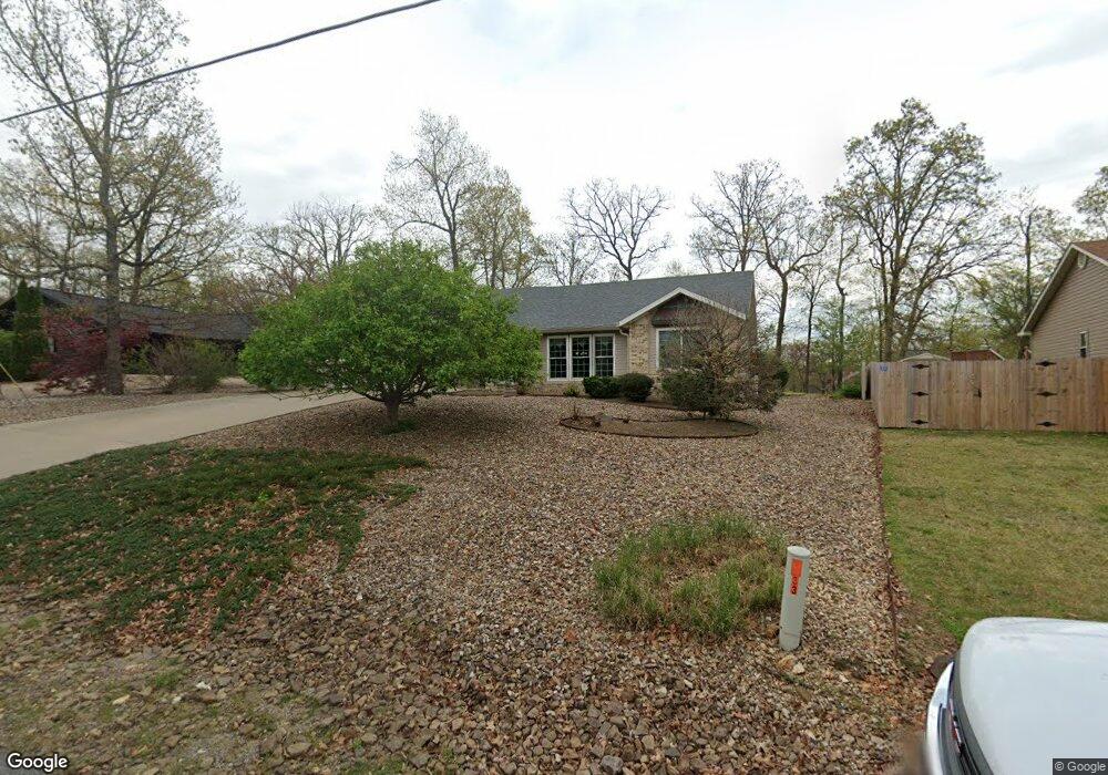
33 Merritt Dr Bella Vista, AR 72714
Estimated Value: $325,047 - $357,000
--
Bed
2
Baths
1,676
Sq Ft
$202/Sq Ft
Est. Value
About This Home
This home is located at 33 Merritt Dr, Bella Vista, AR 72714 and is currently estimated at $338,262, approximately $201 per square foot. 33 Merritt Dr is a home located in Benton County with nearby schools including Cooper Elementary School, Ruth Barker Middle School, and Washington Junior High School.
Ownership History
Date
Name
Owned For
Owner Type
Purchase Details
Closed on
Mar 14, 2018
Sold by
Vandivier Ernest R and Vandivier Betty T
Bought by
Vandivier Ernest R and Vandivier Betty T
Current Estimated Value
Purchase Details
Closed on
Aug 25, 2006
Sold by
Vandivier Ernest R and Vandivier Betty T
Bought by
Vandivier Ernest R and Vandivier Betty T
Purchase Details
Closed on
Jul 28, 2003
Bought by
Vandivier
Purchase Details
Closed on
Nov 15, 2002
Bought by
Cowin Const
Purchase Details
Closed on
Oct 10, 2002
Bought by
Cowin
Purchase Details
Closed on
Mar 5, 1999
Bought by
Roberts
Purchase Details
Closed on
Dec 14, 1998
Bought by
Roberts Evelyn B Dod 9 and Roberts 4
Purchase Details
Closed on
Jun 2, 1986
Bought by
Roberts
Purchase Details
Closed on
Mar 1, 1984
Bought by
Troop
Create a Home Valuation Report for This Property
The Home Valuation Report is an in-depth analysis detailing your home's value as well as a comparison with similar homes in the area
Home Values in the Area
Average Home Value in this Area
Purchase History
| Date | Buyer | Sale Price | Title Company |
|---|---|---|---|
| Vandivier Ernest R | -- | None Available | |
| Vandivier Ernest R | -- | None Available | |
| Vandivier | $125,000 | -- | |
| Cowin Const | -- | -- | |
| Cowin | $2,000 | -- | |
| Roberts | -- | -- | |
| Roberts Evelyn B Dod 9 | -- | -- | |
| Roberts | $4,000 | -- | |
| Roberts | $4,000 | -- | |
| Troop | $6,000 | -- |
Source: Public Records
Tax History Compared to Growth
Tax History
| Year | Tax Paid | Tax Assessment Tax Assessment Total Assessment is a certain percentage of the fair market value that is determined by local assessors to be the total taxable value of land and additions on the property. | Land | Improvement |
|---|---|---|---|---|
| 2025 | $1,488 | $54,681 | $1,600 | $53,081 |
| 2024 | $1,473 | $54,681 | $1,600 | $53,081 |
| 2023 | $1,473 | $36,870 | $800 | $36,070 |
| 2022 | $1,143 | $36,870 | $800 | $36,070 |
| 2021 | $1,142 | $36,870 | $800 | $36,070 |
| 2020 | $1,156 | $27,470 | $600 | $26,870 |
| 2019 | $1,156 | $27,470 | $600 | $26,870 |
| 2018 | $1,181 | $27,470 | $600 | $26,870 |
| 2017 | $1,181 | $27,470 | $600 | $26,870 |
| 2016 | $1,123 | $27,470 | $600 | $26,870 |
| 2015 | $1,449 | $25,890 | $1,000 | $24,890 |
| 2014 | $1,099 | $25,890 | $1,000 | $24,890 |
Source: Public Records
Map
Nearby Homes
- 40 Merritt Dr
- 75 Melanie Dr
- 41 Melanie Dr
- 63 Merritt Dr
- 20 Melanie Cir
- Lot 14 Melanie Dr
- 0 Rettendon Ln
- 127 Rillington Dr
- Lot 10 of Block 6 Rillington Dr
- 0 Rillington Dr Unit 1316259
- 14 Constance Cir
- 10 Dillow Ln
- 5 Ettington Ln
- 29 Lunsford Ln
- 3 Brougham Ln
- 9 Lunsford Ln
- 0 Allendale Dr
- 12 Sunderland Dr
- 25 Metfield Dr
- 17 Duxford Cir