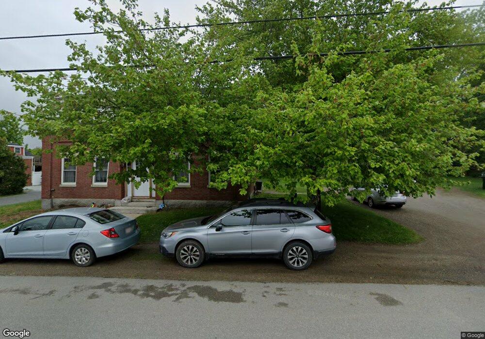
33 Mt Ephraim Rd Searsport, ME 04974
Estimated Value: $196,000 - $337,000
--
Bed
--
Bath
--
Sq Ft
0.58
Acres
About This Home
This home is located at 33 Mt Ephraim Rd, Searsport, ME 04974 and is currently estimated at $272,481. 33 Mt Ephraim Rd is a home located in Waldo County.
Ownership History
Date
Name
Owned For
Owner Type
Purchase Details
Closed on
Jul 30, 2010
Sold by
Ingredient Solutions Inc
Bought by
Farris Rodney A and Farris Charlene K
Current Estimated Value
Home Financials for this Owner
Home Financials are based on the most recent Mortgage that was taken out on this home.
Original Mortgage
$24,750
Outstanding Balance
$16,496
Interest Rate
4.78%
Mortgage Type
Commercial
Estimated Equity
$255,985
Create a Home Valuation Report for This Property
The Home Valuation Report is an in-depth analysis detailing your home's value as well as a comparison with similar homes in the area
Home Values in the Area
Average Home Value in this Area
Purchase History
| Date | Buyer | Sale Price | Title Company |
|---|---|---|---|
| Farris Rodney A | -- | -- | |
| Farris Rodney A | -- | -- | |
| Farris Rodney A | -- | -- |
Source: Public Records
Mortgage History
| Date | Status | Borrower | Loan Amount |
|---|---|---|---|
| Open | Farris Rodney A | $24,750 | |
| Closed | Farris Rodney A | $24,750 |
Source: Public Records
Tax History Compared to Growth
Tax History
| Year | Tax Paid | Tax Assessment Tax Assessment Total Assessment is a certain percentage of the fair market value that is determined by local assessors to be the total taxable value of land and additions on the property. | Land | Improvement |
|---|---|---|---|---|
| 2024 | $3,671 | $160,300 | $40,100 | $120,200 |
| 2023 | $3,238 | $160,300 | $40,100 | $120,200 |
| 2022 | $3,094 | $160,300 | $40,100 | $120,200 |
| 2021 | $3,030 | $160,300 | $40,100 | $120,200 |
| 2020 | $2,998 | $160,300 | $40,100 | $120,200 |
| 2019 | $2,966 | $160,300 | $40,100 | $120,200 |
| 2018 | $2,966 | $160,300 | $40,100 | $120,200 |
| 2017 | $2,979 | $123,100 | $42,400 | $80,700 |
| 2016 | $2,942 | $123,100 | $42,400 | $80,700 |
| 2015 | $2,917 | $123,100 | $42,400 | $80,700 |
| 2014 | $2,765 | $121,788 | $42,400 | $79,388 |
| 2013 | $2,574 | $119,700 | $42,400 | $77,300 |
Source: Public Records
Map
Nearby Homes
- 22 Mount Ephraim Rd
- 31 Mt Ephraim Rd
- 27 Mount Ephraim Rd Unit 1
- 27 Mount Ephraim Rd Unit 6
- 25 Mount Ephraim Rd
- 27 Mount Ephraim Rd Unit 3
- 27 Mount Ephraim Rd
- 27 Mount Ephraim Rd Unit 4
- 27 Mount Ephraim Rd Unit 5
- 27 Mount Ephraim Rd Unit 1-6
- 27 Mt Ephraim Rd Unit 4
- 37 Mount Ephraim Rd
- 32 Mount Ephraim Rd
- 41 Mount Ephraim Rd
- 39 Mount Ephraim Rd
- 22 Knox Brothers Ave
- 23 Mount Ephraim Rd
- 20 Knox Brothers Ave
- 28 Knox Bros Ave
- 42 Mount Ephraim Rd