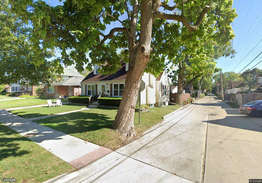
33 N 7th Ave Des Plaines, IL 60016
Estimated Value: $359,000 - $404,104
4
Beds
2
Baths
1,254
Sq Ft
$311/Sq Ft
Est. Value
About This Home
This home is located at 33 N 7th Ave, Des Plaines, IL 60016 and is currently estimated at $390,276, approximately $311 per square foot. 33 N 7th Ave is a home located in Cook County with nearby schools including Cumberland Elementary School, Chippewa Middle School, and Maine West High School.
Ownership History
Date
Name
Owned For
Owner Type
Purchase Details
Closed on
May 31, 1994
Sold by
Borrasso James A and Borrasso Anne M
Bought by
Conner Charles R and Conner Carol I
Current Estimated Value
Home Financials for this Owner
Home Financials are based on the most recent Mortgage that was taken out on this home.
Original Mortgage
$111,200
Interest Rate
8.45%
Create a Home Valuation Report for This Property
The Home Valuation Report is an in-depth analysis detailing your home's value as well as a comparison with similar homes in the area
Home Values in the Area
Average Home Value in this Area
Purchase History
| Date | Buyer | Sale Price | Title Company |
|---|---|---|---|
| Conner Charles R | $139,000 | -- |
Source: Public Records
Mortgage History
| Date | Status | Borrower | Loan Amount |
|---|---|---|---|
| Closed | Conner Charles R | $111,200 |
Source: Public Records
Tax History
| Year | Tax Paid | Tax Assessment Tax Assessment Total Assessment is a certain percentage of the fair market value that is determined by local assessors to be the total taxable value of land and additions on the property. | Land | Improvement |
|---|---|---|---|---|
| 2025 | $7,563 | $37,000 | $6,185 | $30,815 |
| 2024 | $7,563 | $32,000 | $5,257 | $26,743 |
| 2023 | $7,354 | $32,000 | $5,257 | $26,743 |
| 2022 | $7,354 | $32,000 | $5,257 | $26,743 |
| 2021 | $6,046 | $23,000 | $4,329 | $18,671 |
| 2020 | $6,013 | $23,000 | $4,329 | $18,671 |
| 2019 | $6,032 | $25,843 | $4,329 | $21,514 |
| 2018 | $5,131 | $20,592 | $3,711 | $16,881 |
| 2017 | $5,992 | $23,772 | $3,711 | $20,061 |
| 2016 | $5,912 | $23,772 | $3,711 | $20,061 |
| 2015 | $5,849 | $21,970 | $3,247 | $18,723 |
| 2014 | $6,276 | $23,774 | $3,247 | $20,527 |
| 2013 | $6,102 | $23,774 | $3,247 | $20,527 |
Source: Public Records
Map
Nearby Homes
- 787 E Golf Rd
- 926 S Golf Cul de Sac St
- 955 Rand Rd
- 321 Woodbridge St
- 155 Cornell Ave
- 173 Cornell Ave
- 373 Woodbridge St
- 890 North Ave
- 1160 Evergreen Ave
- 556 Orchard Ct
- 584 S 4th Ave
- 304 Amherst Ave
- 390 S Western Ave Unit 706
- 1005 Woodlawn Ave
- 586 N 7th Ave Unit 4
- 503 La Salle St
- 508 Crestwood Dr
- 182 Eli Ct
- 182 Lilah Ct
- 183 Eli Ct
Your Personal Tour Guide
Ask me questions while you tour the home.