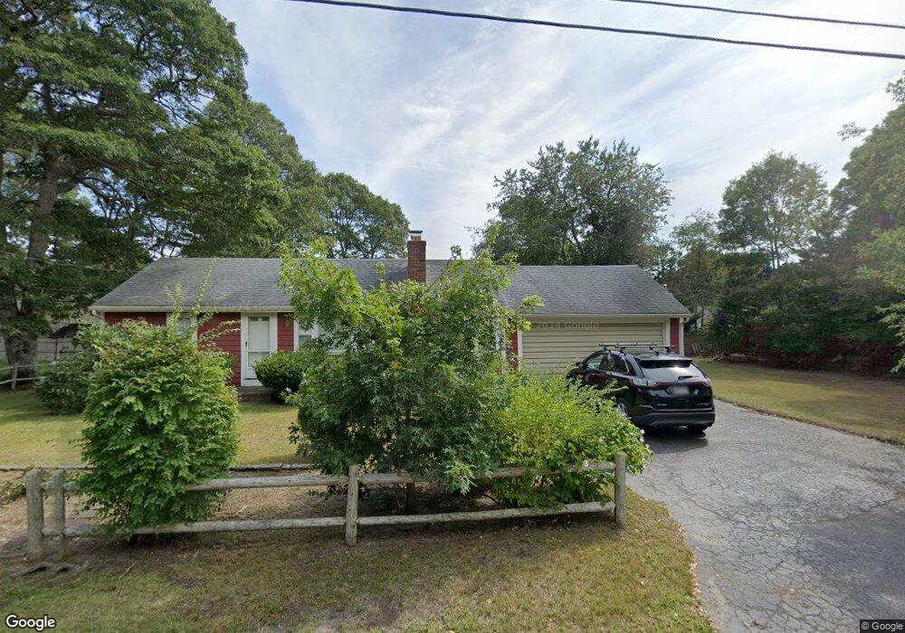
33 Norseman Dr South Dennis, MA 02660
South Dennis NeighborhoodEstimated Value: $493,000 - $544,000
2
Beds
1
Bath
880
Sq Ft
$586/Sq Ft
Est. Value
About This Home
This home is located at 33 Norseman Dr, South Dennis, MA 02660 and is currently estimated at $515,337, approximately $585 per square foot. 33 Norseman Dr is a home located in Barnstable County with nearby schools including Dennis-Yarmouth Regional High School and St. Pius X. School.
Ownership History
Date
Name
Owned For
Owner Type
Purchase Details
Closed on
Jul 24, 2019
Sold by
Leighton Ira W
Bought by
Bal T
Current Estimated Value
Purchase Details
Closed on
Mar 15, 2019
Sold by
Leighton Ira W
Bought by
Leighton Ira W
Purchase Details
Closed on
Nov 12, 2014
Sold by
Leighton Ira W Jr Est
Bought by
Leighton Ira W
Purchase Details
Closed on
May 24, 2010
Sold by
Leighton Ira W and Mcmillan Marilyn C
Bought by
Leighton Ira W
Create a Home Valuation Report for This Property
The Home Valuation Report is an in-depth analysis detailing your home's value as well as a comparison with similar homes in the area
Home Values in the Area
Average Home Value in this Area
Purchase History
| Date | Buyer | Sale Price | Title Company |
|---|---|---|---|
| Bal T | -- | -- | |
| Leighton Ira W | -- | -- | |
| Leighton Ira W | -- | -- | |
| Leighton Ira W | $103,550 | -- |
Source: Public Records
Tax History Compared to Growth
Tax History
| Year | Tax Paid | Tax Assessment Tax Assessment Total Assessment is a certain percentage of the fair market value that is determined by local assessors to be the total taxable value of land and additions on the property. | Land | Improvement |
|---|---|---|---|---|
| 2025 | $1,868 | $431,400 | $132,200 | $299,200 |
| 2024 | $1,756 | $400,000 | $127,200 | $272,800 |
| 2023 | $1,698 | $363,600 | $115,600 | $248,000 |
| 2022 | $1,675 | $299,100 | $115,700 | $183,400 |
| 2021 | $1,588 | $263,400 | $113,400 | $150,000 |
| 2020 | $1,522 | $249,500 | $113,400 | $136,100 |
| 2019 | $1,501 | $243,200 | $122,300 | $120,900 |
| 2018 | $1,359 | $214,300 | $105,900 | $108,400 |
| 2017 | $1,296 | $210,800 | $105,900 | $104,900 |
| 2016 | $1,205 | $184,600 | $111,200 | $73,400 |
| 2015 | $1,181 | $184,600 | $111,200 | $73,400 |
| 2014 | $1,184 | $186,500 | $95,300 | $91,200 |
Source: Public Records
Map
Nearby Homes
- 34 Lief Ericson Dr
- 37 Norseman Dr
- 28 Lief Ericson Dr
- 38 Lief Ericson Dr
- 38 Lief Ericson Dr
- 26 Norseman Dr
- 36 Norseman Dr
- 23 Norseman Dr
- 43 Norseman Dr
- 24 Lief Ericson Dr
- 42 Leif Ericson Dr
- 31 Lief Ericson Dr
- 37 Leif Ericson Dr
- 29 Saga Rd
- 22 Norseman Dr
- 36 Fiord Dr
- 41 Lief Ericson Dr
- 27 Lief Ericson Dr
- 19 Norseman Dr
- 41 Lief Ericson Dr