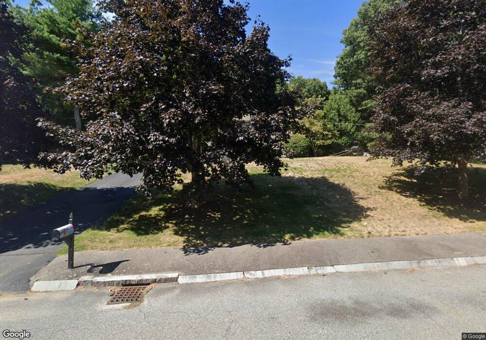
33 Nuthatch Ln Taunton, MA 02780
Estimated Value: $578,206 - $652,000
3
Beds
2
Baths
1,824
Sq Ft
$342/Sq Ft
Est. Value
About This Home
This home is located at 33 Nuthatch Ln, Taunton, MA 02780 and is currently estimated at $624,052, approximately $342 per square foot. 33 Nuthatch Ln is a home located in Bristol County with nearby schools including Mulcahey Elementary School, Taunton High School, and John F. Parker Middle School.
Ownership History
Date
Name
Owned For
Owner Type
Purchase Details
Closed on
Sep 18, 1996
Sold by
Hawthorne Dev Inc
Bought by
Bowden James H and Bowden Christine M
Current Estimated Value
Home Financials for this Owner
Home Financials are based on the most recent Mortgage that was taken out on this home.
Original Mortgage
$132,500
Outstanding Balance
$11,067
Interest Rate
7.89%
Mortgage Type
Purchase Money Mortgage
Estimated Equity
$612,985
Create a Home Valuation Report for This Property
The Home Valuation Report is an in-depth analysis detailing your home's value as well as a comparison with similar homes in the area
Home Values in the Area
Average Home Value in this Area
Purchase History
| Date | Buyer | Sale Price | Title Company |
|---|---|---|---|
| Bowden James H | $139,500 | -- |
Source: Public Records
Mortgage History
| Date | Status | Borrower | Loan Amount |
|---|---|---|---|
| Open | Bowden James H | $132,500 |
Source: Public Records
Tax History Compared to Growth
Tax History
| Year | Tax Paid | Tax Assessment Tax Assessment Total Assessment is a certain percentage of the fair market value that is determined by local assessors to be the total taxable value of land and additions on the property. | Land | Improvement |
|---|---|---|---|---|
| 2025 | $5,523 | $504,800 | $141,700 | $363,100 |
| 2024 | $5,258 | $469,900 | $161,000 | $308,900 |
| 2023 | $5,257 | $436,300 | $161,000 | $275,300 |
| 2022 | $5,128 | $389,100 | $139,500 | $249,600 |
| 2021 | $4,844 | $341,100 | $122,000 | $219,100 |
| 2020 | $4,737 | $318,800 | $122,000 | $196,800 |
| 2019 | $4,942 | $313,600 | $129,000 | $184,600 |
| 2018 | $4,743 | $301,700 | $130,300 | $171,400 |
| 2017 | $4,443 | $282,800 | $123,500 | $159,300 |
| 2016 | $4,287 | $273,400 | $119,900 | $153,500 |
| 2015 | $4,188 | $279,000 | $122,600 | $156,400 |
| 2014 | $4,053 | $277,400 | $121,700 | $155,700 |
Source: Public Records
Map
Nearby Homes
- 321 Winthrop St Unit 111
- 154 Appaloosa Way
- 424 Winthrop St
- 322 Dighton Ave
- 170 Highland St Unit 320
- 45 Fisher St
- 25 Quequechan Rd
- 125 Highland St Unit 103
- 233-R Summer St
- 876 Autumn St
- 55 Highland Ave
- 56 Silver St
- 4 A Lawton St Unit A
- 0 Range Ave Unit 72771508
- 0 Range Ave Unit 72771509
- 26 Kilmer Ave
- 132 Winthrop St
- 39 Myrtle St
- 72 Barnum St
- 16 Kilton St
- 45 Nuthatch Ln
- 1240 Cohannet St
- 1 Nuthatch Ln
- 59 Nuthatch Ln
- 50 Nuthatch Ln
- 38 Nuthatch Ln
- 71 Nuthatch Ln
- 64 Nuthatch Ln
- 1206 Cohannet St
- 34 Nuthatch Ln
- 1215 Cohannet St
- 1267 Cohannet St
- 83 Nuthatch Ln
- 1194 Cohannet St
- 1245 Cohannet St
- 84 Nuthatch Ln
- 1205 Cohannet St
- 1281 Cohannet St
- 1193 Cohannet St
- 1162 Cohannet St