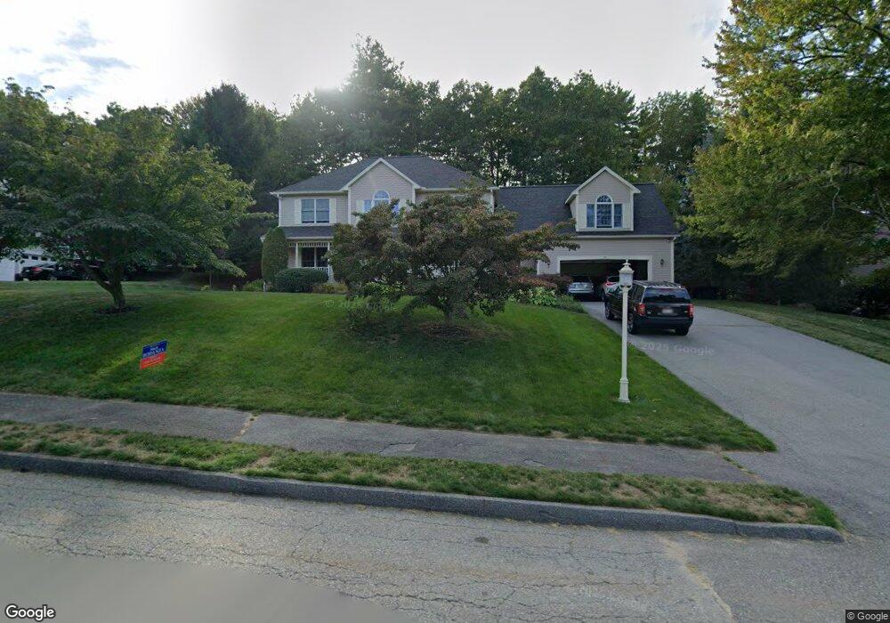
33 Olde Tavern Rd Leominster, MA 01453
Estimated Value: $671,000 - $811,000
3
Beds
3
Baths
2,650
Sq Ft
$283/Sq Ft
Est. Value
About This Home
This home is located at 33 Olde Tavern Rd, Leominster, MA 01453 and is currently estimated at $749,715, approximately $282 per square foot. 33 Olde Tavern Rd is a home located in Worcester County with nearby schools including Leominster High School, St. Leo School, and St Bernards Elementary School.
Ownership History
Date
Name
Owned For
Owner Type
Purchase Details
Closed on
Dec 5, 2024
Sold by
Lelli Louis A and Lelli Christine M
Bought by
33 Olde Tavern Road Rt and Lelli
Current Estimated Value
Purchase Details
Closed on
May 22, 1996
Sold by
Nc Rt and Boudreau Jerald P
Bought by
Lelli Louis A and Lelli Christine
Home Financials for this Owner
Home Financials are based on the most recent Mortgage that was taken out on this home.
Original Mortgage
$200,000
Interest Rate
8.01%
Mortgage Type
Purchase Money Mortgage
Create a Home Valuation Report for This Property
The Home Valuation Report is an in-depth analysis detailing your home's value as well as a comparison with similar homes in the area
Home Values in the Area
Average Home Value in this Area
Purchase History
| Date | Buyer | Sale Price | Title Company |
|---|---|---|---|
| 33 Olde Tavern Road Rt | -- | None Available | |
| 33 Olde Tavern Road Rt | -- | None Available | |
| Lelli Louis A | $70,000 | -- | |
| Lelli Louis A | $70,000 | -- |
Source: Public Records
Mortgage History
| Date | Status | Borrower | Loan Amount |
|---|---|---|---|
| Previous Owner | Lelli Louis A | $293,000 | |
| Previous Owner | Lelli Louis A | $203,500 | |
| Previous Owner | Lelli Louis A | $200,000 | |
| Previous Owner | Lelli Louis A | $200,000 |
Source: Public Records
Tax History Compared to Growth
Tax History
| Year | Tax Paid | Tax Assessment Tax Assessment Total Assessment is a certain percentage of the fair market value that is determined by local assessors to be the total taxable value of land and additions on the property. | Land | Improvement |
|---|---|---|---|---|
| 2025 | $9,135 | $651,100 | $210,900 | $440,200 |
| 2024 | $9,012 | $621,100 | $200,800 | $420,300 |
| 2023 | $8,592 | $552,900 | $174,700 | $378,200 |
| 2022 | $8,177 | $493,800 | $151,900 | $341,900 |
| 2021 | $8,180 | $451,200 | $118,500 | $332,700 |
| 2020 | $7,926 | $440,800 | $118,500 | $322,300 |
| 2019 | $7,898 | $426,000 | $120,300 | $305,700 |
| 2018 | $7,898 | $408,600 | $109,500 | $299,100 |
| 2017 | $7,130 | $361,400 | $102,200 | $259,200 |
| 2016 | $7,070 | $361,100 | $102,200 | $258,900 |
| 2015 | $6,501 | $334,400 | $102,200 | $232,200 |
| 2014 | $6,423 | $340,000 | $109,200 | $230,800 |
Source: Public Records
Map
Nearby Homes
- 20 Oregon Ave
- 20 Pleasantview Ave
- 44 Hale St
- 27 Haynes Ct
- 47 Hale St
- 22 Westland Ave
- 58 Lindell Ave
- 191 West St
- 1220 Water St
- 45 Fruit St Unit A
- 45 Fruit St Unit B
- 95 Boutelle St
- 12 Lindell Ave
- Lot 2 Birch St
- 837 Mount Elam Rd
- 59 Kenniston St
- 150 Washington St
- 98 Washington St
- 119 West St
- 76 Belmont Rd
- 41 Olde Tavern Rd
- 27 Olde Tavern Rd
- 60 Kendall Hill Rd
- 30 Olde Tavern Rd
- 52 Kendall Hill Rd
- 38 Olde Tavern Rd
- 68 Kendall Hill Rd
- 49 Olde Tavern Rd
- 21 Olde Tavern Rd
- 46 Olde Tavern Rd
- 24 Olde Tavern Rd
- 44 Kendall Hill Rd
- 55 Olde Tavern Rd
- 74 Kendall Hill Rd
- 16 Olde Tavern Rd
- 52 Olde Tavern Rd
- 51 Kendall Hill Rd
- 59 Kendall Hill Rd
- 15 Olde Tavern Rd
- 18 Olde Tavern Rd