33 Olney Rd Palmer, MA 01069
Estimated Value: $301,251 - $390,000
3
Beds
1
Bath
1,040
Sq Ft
$327/Sq Ft
Est. Value
About This Home
This home is located at 33 Olney Rd, Palmer, MA 01069 and is currently estimated at $340,313, approximately $327 per square foot. 33 Olney Rd is a home located in Hampden County with nearby schools including Old Mill Pond Elementary School, Palmer High School, and Converse Middle School.
Ownership History
Date
Name
Owned For
Owner Type
Purchase Details
Closed on
Mar 25, 1974
Bought by
Bousquet George P and Bousquet Nancy Lee
Current Estimated Value
Create a Home Valuation Report for This Property
The Home Valuation Report is an in-depth analysis detailing your home's value as well as a comparison with similar homes in the area
Home Values in the Area
Average Home Value in this Area
Purchase History
| Date | Buyer | Sale Price | Title Company |
|---|---|---|---|
| Bousquet George P | -- | -- |
Source: Public Records
Mortgage History
| Date | Status | Borrower | Loan Amount |
|---|---|---|---|
| Open | Bousquet George P | $115,900 | |
| Closed | Bousquet George P | $107,415 | |
| Closed | Bousquet George P | $104,498 | |
| Closed | Bousquet George P | $91,198 |
Source: Public Records
Tax History
| Year | Tax Paid | Tax Assessment Tax Assessment Total Assessment is a certain percentage of the fair market value that is determined by local assessors to be the total taxable value of land and additions on the property. | Land | Improvement |
|---|---|---|---|---|
| 2025 | $4,859 | $265,800 | $80,700 | $185,100 |
| 2024 | $4,505 | $241,300 | $73,400 | $167,900 |
| 2023 | $4,504 | $231,700 | $73,400 | $158,300 |
| 2022 | $4,271 | $199,600 | $64,500 | $135,100 |
| 2021 | $4,027 | $180,800 | $71,800 | $109,000 |
| 2020 | $3,995 | $175,200 | $71,800 | $103,400 |
| 2019 | $3,879 | $175,200 | $71,800 | $103,400 |
| 2018 | $3,882 | $175,800 | $69,700 | $106,100 |
| 2017 | $2,321 | $175,800 | $69,700 | $106,100 |
| 2016 | $3,635 | $170,900 | $67,600 | $103,300 |
| 2015 | $3,526 | $170,900 | $67,600 | $103,300 |
Source: Public Records
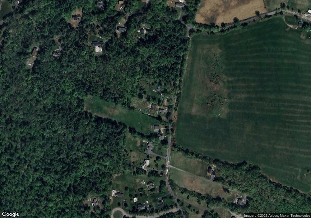
Map
Nearby Homes
- 1711-1723 Ware St
- 748 River St Unit 1
- Lot 2 State St
- 3057 Foster St
- 593 Old Warren Rd
- 599-607 Old Warren Rd
- Lot 34 Old Warren Rd
- Lot 87-12 State St
- 127 Summer St
- 248 Ware St
- 378 Rondeau St
- Lot 5 Babcock Tavern Rd
- Lot 4 Babcock Tavern Rd
- 79 Griffin St
- Lot 14 Center St
- 57 Babcock Tavern Rd
- 49 Babcock Tavern Rd
- 0 Old Warren Rd
- 302 Boston Rd
- 101 Ware St
Your Personal Tour Guide
Ask me questions while you tour the home.