Estimated Value: $1,283,691 - $1,538,000
4
Beds
3
Baths
2,897
Sq Ft
$472/Sq Ft
Est. Value
About This Home
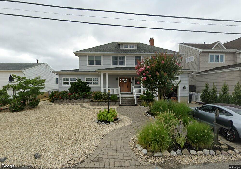
This home is located at 33 Paul Jones Dr, Brick, NJ 08723 and is currently estimated at $1,367,923, approximately $472 per square foot. 33 Paul Jones Dr is a home located in Ocean County with nearby schools including Osbornville Elementary School, Lake Riviera Middle School, and Brick Township High School.
Ownership History
Date
Name
Owned For
Owner Type
Purchase Details
Closed on
Nov 25, 2003
Sold by
Gehweiler Roland A
Bought by
Matzat Gregory and Matzat Rosanne
Current Estimated Value
Home Financials for this Owner
Home Financials are based on the most recent Mortgage that was taken out on this home.
Original Mortgage
$420,000
Outstanding Balance
$196,657
Interest Rate
6.03%
Estimated Equity
$1,171,266
Create a Home Valuation Report for This Property
The Home Valuation Report is an in-depth analysis detailing your home's value as well as a comparison with similar homes in the area
Home Values in the Area
Average Home Value in this Area
Purchase History
| Date | Buyer | Sale Price | Title Company |
|---|---|---|---|
| Matzat Gregory | $525,000 | -- |
Source: Public Records
Mortgage History
| Date | Status | Borrower | Loan Amount |
|---|---|---|---|
| Open | Matzat Gregory | $420,000 |
Source: Public Records
Tax History Compared to Growth
Tax History
| Year | Tax Paid | Tax Assessment Tax Assessment Total Assessment is a certain percentage of the fair market value that is determined by local assessors to be the total taxable value of land and additions on the property. | Land | Improvement |
|---|---|---|---|---|
| 2025 | $17,740 | $686,800 | $320,000 | $366,800 |
| 2024 | $16,861 | $686,800 | $320,000 | $366,800 |
| 2023 | $16,641 | $686,800 | $320,000 | $366,800 |
| 2022 | $16,641 | $686,800 | $320,000 | $366,800 |
| 2021 | $16,291 | $686,800 | $320,000 | $366,800 |
| 2020 | $16,085 | $686,800 | $320,000 | $366,800 |
| 2019 | $15,817 | $686,800 | $320,000 | $366,800 |
| 2018 | $15,453 | $686,800 | $320,000 | $366,800 |
| 2017 | $15,034 | $686,800 | $320,000 | $366,800 |
| 2016 | $14,959 | $686,800 | $320,000 | $366,800 |
| 2015 | $16,976 | $800,400 | $433,600 | $366,800 |
| 2014 | $16,840 | $800,400 | $433,600 | $366,800 |
Source: Public Records
Map
Nearby Homes
- 13 Paul Jones Dr
- 58 Paul Jones Dr
- 40 Ward Dr
- 710 Drum Point Rd
- 25 Halsey Dr
- 151 Shore Dr
- 15 Halsey Dr
- 1 Halsey Dr
- 120 Bayview Dr
- 5 Shore Pine Dr
- 6 Holly Acres Dr
- 85 Channel Dr
- 54 Cedar Island Dr
- 7 Cedar Island Dr
- 37 Harbor View Ln
- 120 Woodland Dr
- 40 Anchorage Dr
- 3 Woodhaven Rd
- 673 Bayview Dr
- 40 Channel Rd
- 29 Paul Jones Dr
- 35 Paul Jones Dr
- 27 Paul Jones Dr
- 37 Paul Jones Dr
- 25 Paul Jones Dr
- 39 Paul Jones Dr
- 38 Paul Jones Dr
- 23 Paul Jones Dr
- 11 Farragut Dr
- 7 Farragut Dr
- 41 Paul Jones Dr
- 13 Farragut Dr
- 15 Farragut Dr
- 15 Farragut Dr Unit 17 A
- 40 Paul Jones Dr
- 19 Paul Jones Dr
- 19 Paul Jones Dr
- 17 Farragut Dr
- 19 Farragut Dr
- 42 Paul Jones Dr